
All stream gauges, Page 1
Stream Gauges
119 stream sensors across Santa Clara County. 32 of them publish numbered flood thresholds.
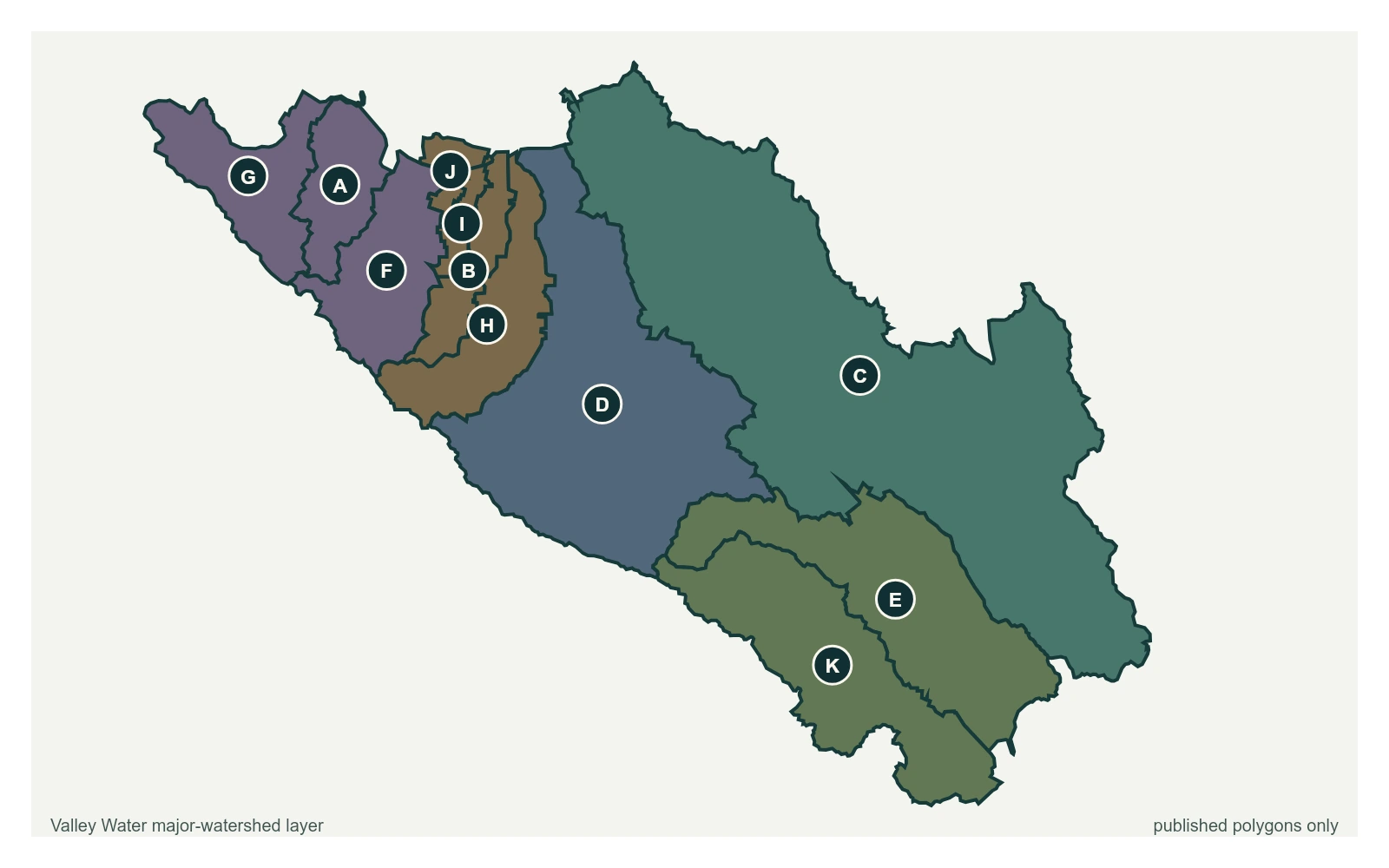
- Stream gauge
Showing 1–24 of 119 stream gauges.
| Gauge | Watershed | Stage | Flow | Threshold 1 | Status |
|---|---|---|---|---|---|
| Upper Penitencia Creek at Piedmont Rd | Coyote | 4.24 ft | 0 cfs | 6 ft | Below the first threshold |
| Coyote Ck below Coyote Ranch Rd | Coyote | -1.90 ft | 0 cfs | not published | Below the first threshold |
| Coyote Creek below Anderson Reservoir | Coyote | 3.73 ft | 3.87 cfs | not published | Below the first threshold |
| Fisher Ck at Monterey Rd | Coyote | 1.26 ft | 0.51 cfs | not published | Below the first threshold |
| Coyote Creek below Coyote Reservoir (USGS) | Coyote | 4.60 ft | 6.1 cfs | not published | Below the first threshold |
| Calero Creek below Calero Reservoir | Guadalupe | 1.39 ft | 0.8 cfs | 3.8 ft | Below the first threshold |
| Almaden-Calero Canal at Calero Reservoir | Guadalupe | -0.07 ft | 0 cfs | not published | Below the first threshold |
| Almaden-Calero Canal at Almaden Reservoir | Guadalupe | 0.53 ft | 0 cfs | not published | Below the first threshold |
| Alamitos Creek below Almaden Reservoir | Guadalupe | 1.97 ft | 3.5 cfs | not published | Below the first threshold |
| Guadalupe Creek below Guadalupe Reservoir | Guadalupe | 1.48 ft | 2.12 cfs | not published | Below the first threshold |
| Golf Creek near McAbee Rd | Guadalupe | 0.28 ft | 0.14 cfs | not published | Below the first threshold |
| Los Gatos Creek below CA-9 | Guadalupe | 2.54 ft | 20 cfs | 7.5 ft | Below the first threshold |
| Ross Creek at Blossom Hill Rd | Guadalupe | 1.08 ft | 0.04 cfs | not published | Below the first threshold |
| Canoas Creek at Dow | Guadalupe | 1.47 ft | 0.67 cfs | not published | Below the first threshold |
| Guadalupe River above Almaden Expwy | Guadalupe | 2.34 ft | 1.86 cfs | 9 ft | Below the first threshold |
| San Tomas Creek above Williams Rd | West Valley | 0.51 ft | 0 cfs | 5.8 ft | Below the first threshold |
| Saratoga Creek at Pruneridge Ave | West Valley | 0.61 ft | 0 cfs | not published | Below the first threshold |
| Calabazas Creek at Wilcox | West Valley | 1.11 ft | 0.25 cfs | not published | Below the first threshold |
| Smith Creek above Elam Ave | West Valley | 0.92 ft | 0 cfs | not published | Below the first threshold |
| San Tomas Creek at UPRR near Quito Rd | West Valley | 2.30 ft | 0 cfs | not published | Below the first threshold |
| Wildcat Creek at UPRR near Quito Rd | West Valley | 0.25 ft | 0 cfs | not published | Below the first threshold |
| Calabazas Creek above Rainbow Ave | West Valley | 0.98 ft | 0 cfs | not published | Below the first threshold |
| Permanente Creek above Berry Ave | Lower Peninsula | 1.14 ft | 0 cfs | 6.5 ft | Below the first threshold |
| Hale Creek near Magdalena Ave | West Valley | 1.13 ft | 0.06 cfs | 5.5 ft | Below the first threshold |