
Watershed
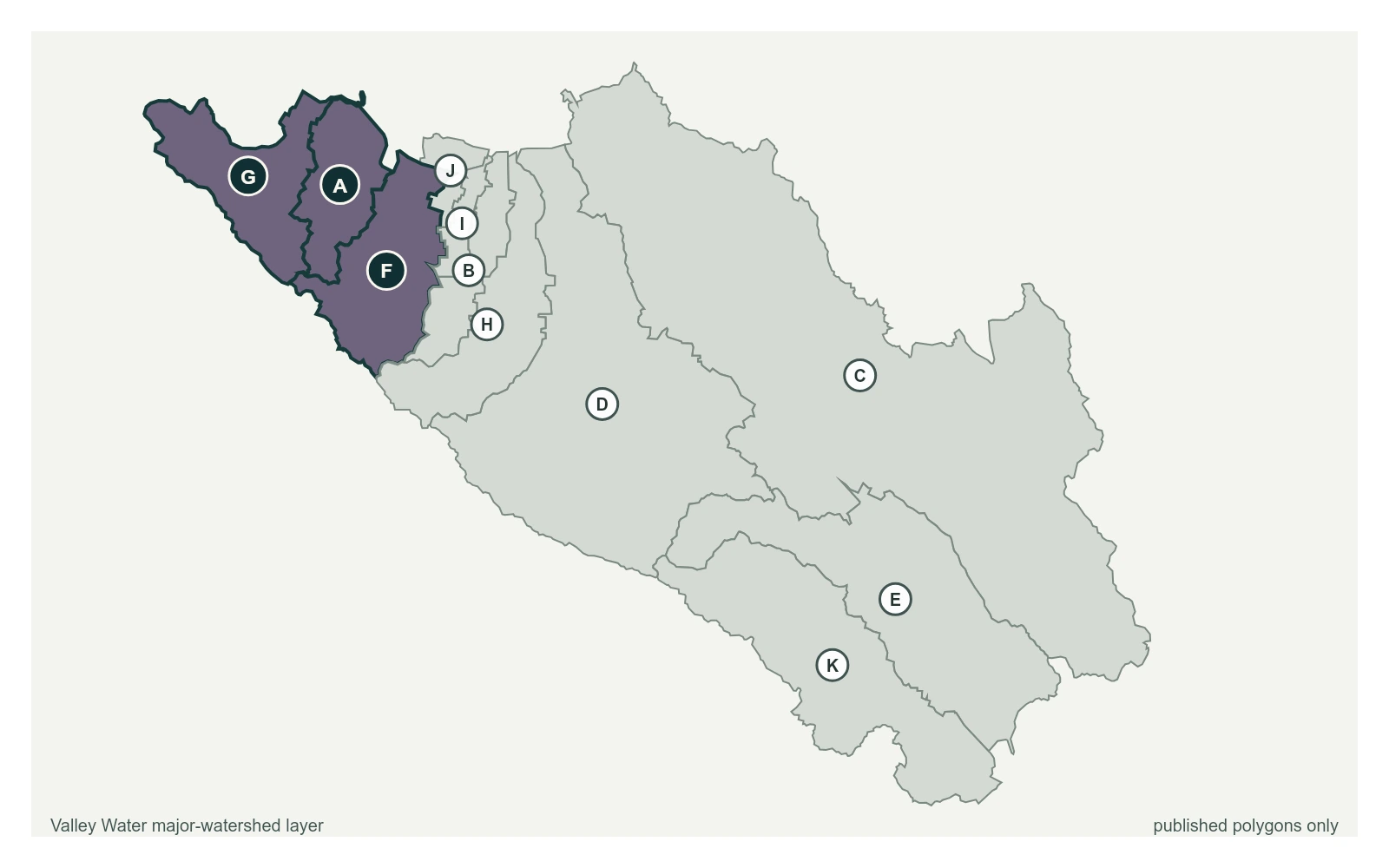
Lower Peninsula
Stevens, Permanente, Adobe and San Francisquito creeks drop off the Santa Cruz Mountains through Cupertino, Los Altos, Mountain View and Palo Alto on short, steep runs to the Bay.
16 stream gauges · 12 rain gauges · 1 reservoir · drains to San Francisco Bay
- Stream gauge
- Rain gauge
- Reservoir
- San Francisquito
- Adobe
- Permanente
- Sunnyvale West
- Sunnyvale East
- Calabazas
- San Tomas
- Guadalupe River
- Coyote
- Uvas
- Llagas
Reservoirs Above This Watershed
Water released or spilled from these reservoirs arrives at the gauges below.
| Reservoir | Storage | Elevation | Spills at |
|---|---|---|---|
| Stevens Creek Reservoir | 2,647 acre-feet | 531.6 ft | 535 ft |
Stream Gauges, Upstream to Bay
Each creek is drawn top to bottom in the order the water runs. The bar beside each gauge is filled to its captured stage on that gauge's own local scale; the dashed rules across it are the flood thresholds Valley Water publishes for that location.
Stevens Creek
3 gauges, ordered south to north down the creek
Stevens Creek below Stevens Creek Reservoir
2.15 ft · 2.15 cfs · 3.85 ft below threshold 1- 3.27 ft · 0.83 cfs · no published threshold
Stevens Creek above CA-85 near Central Ave
2.56 ft · 0 cfs · 12.94 ft below threshold 1
Adobe Creek
2 gauges, ordered south to north down the creek
Adobe Creek at Foothill College
0.91 ft · 0.44 cfs · no published thresholdAdobe Creek d/s El Camino Real
1.32 ft · 0.5 cfs · no published threshold
Permanente Creek
2 gauges, ordered south to north down the creek
Permanente Creek at Rancho San Antonio Park
2.18 ft · 0 cfs · 6.82 ft below threshold 1Permanente Creek above Berry Ave
1.14 ft · 0 cfs · 5.36 ft below threshold 1
Other Gauges Here
- Bear Creek at Sand Hill Road (Stanford) 0.00 ft
- Los Trancos Creek at Arastradero Road 0.00 ft
- Matadero Creek at Lambert Ave 3.14 ft
- McKelvey Park Pump Sensor 3.78 ft
- Palo Alto Flood Basin -1.20 ft
- San Francisquito Creek at Stanford (USGS) 0.20 ft
- Searsville Lake Outflow 0.00 ft
- Stevens Creek Inflow 3.77 ft
- West Permanente Creek below Dear Hollow Farm 2.75 ft
Rain Gauges Here
| Gauge | Last hour | Last 24 hours | Season |
|---|---|---|---|
| Sunnyvale Hamilton WTP | 0.00 in | 0.00 in | 16.10 in |
| Stevens Creek Reservoir | 0.00 in | 0.00 in | 28.31 in |
| Mtn View Corp Yard | 0.00 in | 0.00 in | 14.09 in |
| Palo Alto Reclamation Plant | 0.00 in | 0.00 in | 12.40 in |
| Rancho San Antonio | 0.00 in | 0.00 in | 26.81 in |
| Trappers Trail | 0.00 in | 0.00 in | 30.59 in |
| Maryknoll Fields | 0.00 in | 0.00 in | 19.29 in |
| Los Trancos | 0.00 in | 0.00 in | 40.87 in |
| Westwind Community Barn | 0.00 in | 0.00 in | 20.31 in |
| Windy Hill (JPA) | 0.00 in | 0.00 in | 34.17 in |
| Wunderlich (JPA) | 0.00 in | 0.00 in | 37.36 in |
| Huddart Park (JPA) | 0.00 in | 0.00 in | 33.66 in |