Threshold 1 · 3.3 ft
4.50 ft above the current reading
Watch Level.
Valley Water, threshold 1 description for Palo Alto Flood Basin
 Surface Water Data Portal
Readings as of July 28, 2026 at 4:53 PM PT · not current conditions
Reading -1.20 ft and 0 cfs. That is 4.50 feet below the first flood threshold.
-1.20 ft
Captured February 10, 2026 at 8:45 AM PT
These descriptions are Valley Water's own, quoted exactly as published for this gauge.
4.50 ft above the current reading
Watch Level.
Valley Water, threshold 1 description for Palo Alto Flood Basin
6.50 ft above the current reading
Flood Basin stage is high. If tributary inflow from Adobe, Matadero, and Barron Creeks are extreme, basin may overflow.
Valley Water, threshold 2 description for Palo Alto Flood Basin
7.50 ft above the current reading
Flood Basin stage is very high. High flow in tributaries may cause overtopping on East Bayshore Road and area south of Embarcadero Road.
Valley Water, threshold 3 description for Palo Alto Flood Basin
8.50 ft above the current reading
Flood Basin stage is extremely high. Flooding is likely in the aforementioned areas. If tributary inflows are also very high, flooding is possible for the Palo Alto Airport, US-101, and towards neighborhoods in Palo Alto.
Valley Water, threshold 4 description for Palo Alto Flood Basin
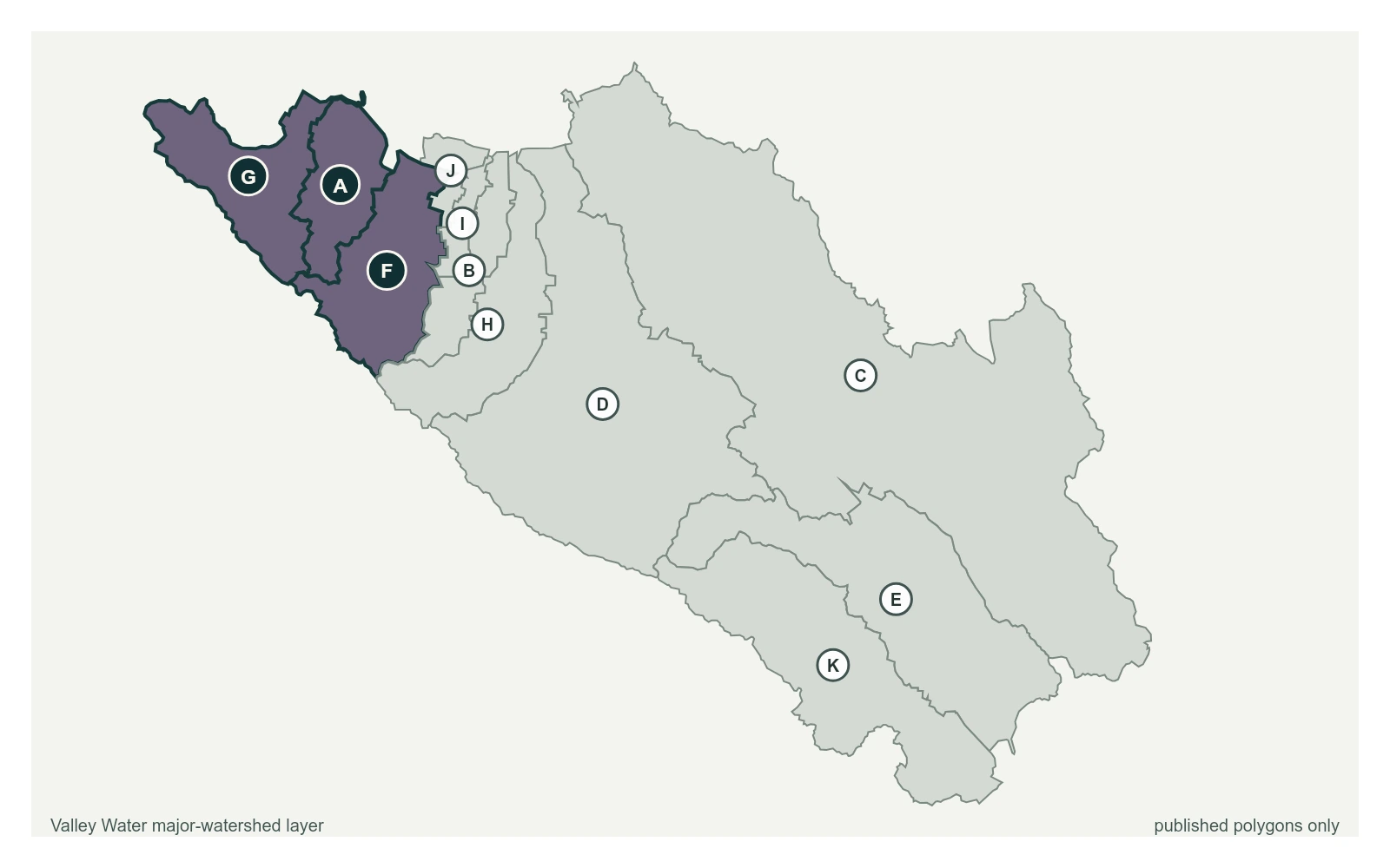
Streets and landmarks named in the threshold descriptions above.
Palo Alto Flood Basin Stage. Data collected by City of Palo Alto and forwarded to Valley Water.
Valley Water, sensor notes for Palo Alto Flood Basin