
Storage
Reservoirs
Ten reservoirs in the foothills, holding winter rain above the valley floor. What they release, and what they spill, arrives at the creek gauges below.
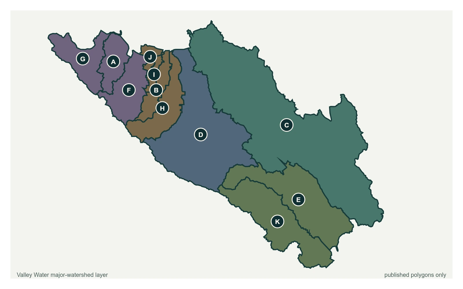
- Reservoir
| Reservoir | Watershed | Storage | Capacity | Percent full |
|---|---|---|---|---|
| Almaden Reservoir | Guadalupe | 1,093 acre-feet | 1,586 acre-feet | 68.9% |
| Anderson Reservoir | Coyote | 3,508 acre-feet | 89,073 acre-feet | 3.9% |
| Calero Reservoir | Guadalupe | 3,974 acre-feet | 9,934 acre-feet | 40.0% |
| Chesbro Reservoir | Pajaro | 3,889 acre-feet | 7,945 acre-feet | 49.0% |
| Coyote Reservoir | Coyote | 9,840 acre-feet | 23,244 acre-feet | 42.3% |
| Guadalupe Reservoir | Guadalupe | 1,296 acre-feet | 3,415 acre-feet | 38.0% |
| Lexington Reservoir | Guadalupe | 11,408 acre-feet | 19,044 acre-feet | 59.9% |
| Stevens Creek Reservoir | Lower Peninsula | 2,647 acre-feet | 3,138 acre-feet | 84.3% |
| Uvas Reservoir | Pajaro | 5,063 acre-feet | 9,835 acre-feet | 51.5% |
| Vasona Reservoir | Guadalupe | 440 acre-feet | 400 acre-feet | 110.1% |
Capacities are Valley Water's published figures. Anderson has been restricted since October 2020 under a federal seismic order, which is why its storage sits far below capacity.