
Calero Reservoir
Holding 3,974 acre-feet, which is 40.0 percent of its published capacity of 9,934 acre-feet.
- Reservoir
40.0%
- Storage 3,974 acre-feet
- Water surface elevation 461.9 ft
- Spills at 483.5 ft
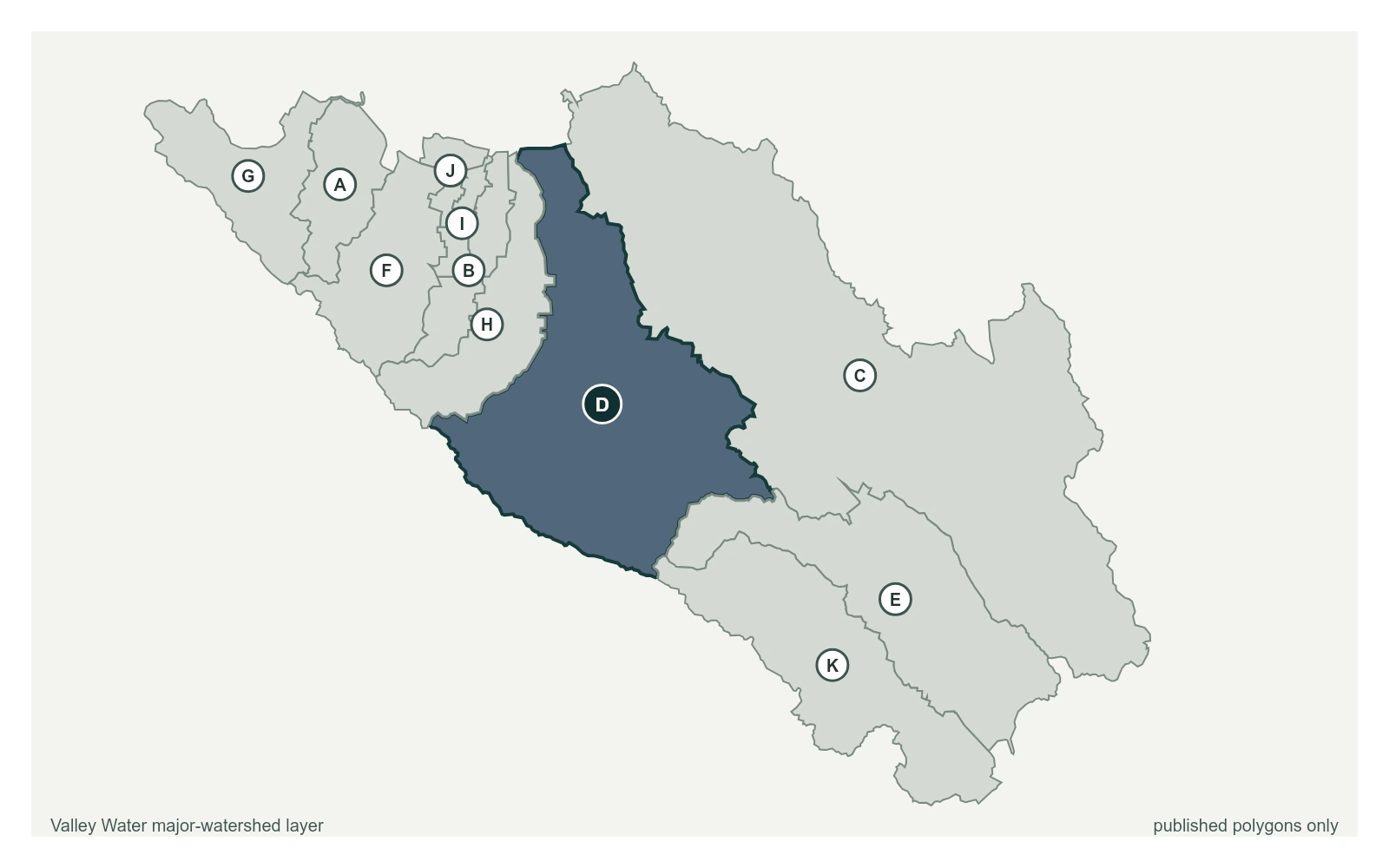
- Guadalupe watershed
- Captured July 28, 2026 at 4:30 PM PT
Reservoir Notes
Elevation data is in 'local' datum, which is similar, but not exactly, in NGVD29 datum. To convert the local datum to NAVD88, add 2.40'.
Valley Water, sensor notes for Calero Reservoir
Gauges Below This Reservoir
Calero Creek below Calero Reservoir
1.39 ft · 0.8 cfs · 2.41 ft below threshold 1