Reading 1.39 ft and 0.8 cfs. That is 2.41 feet below the first flood threshold.
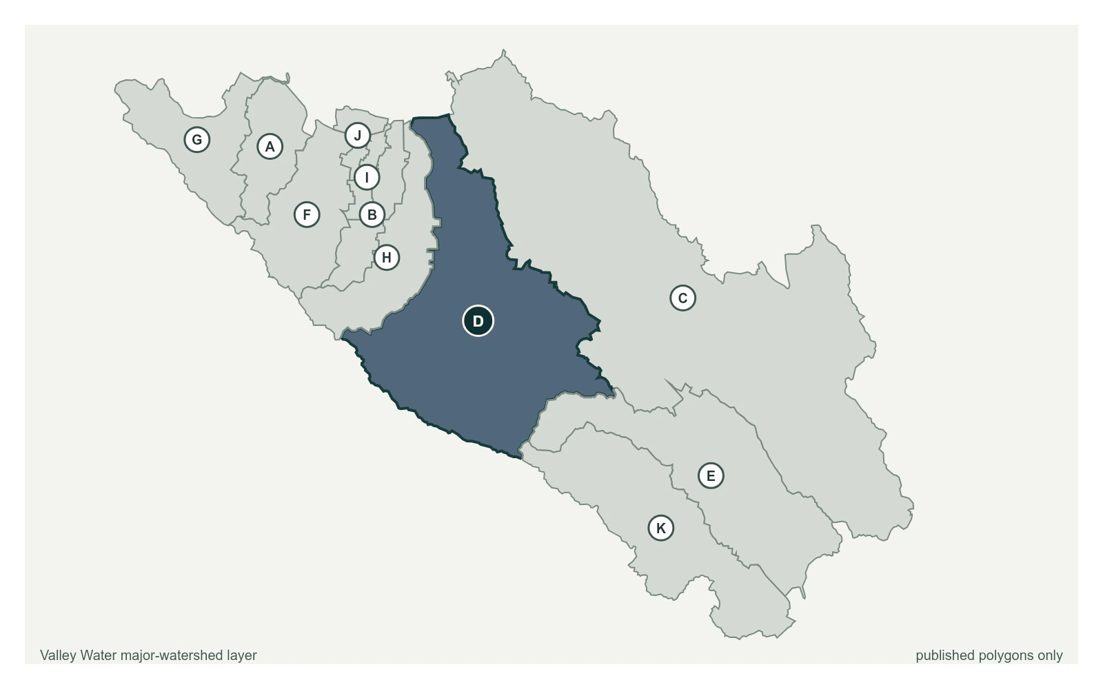
Calero Creek below Calero Reservoir at 37.1861, -121.7930, exactly as positioned in Valley Water's sensor feed. Valley Water publishes Guadalupe River as a major watershed here. The eleven published boundaries do not line up exactly with the five watershed groupings used here, and not every named creek has one.
Stream gauge
1.39 ft
Captured July 28, 2026 at 4:30 PM PT
Sensor ID 5013
37.1861, -121.7930
Included in Valley Water's flood watch, carries a forecast model
Reporting
What Floods at Each Level
These descriptions are Valley Water's own, quoted exactly as published for this gauge.
Threshold 1 · 3.8 ft(94 cfs)
2.41 ft above the current reading
Homes along Calero Creek might experience minor backyard flooding. If Calero Dam is not expected to spill, nothing further needs to be done.
Valley Water, threshold 1 description for Calero Creek below Calero Reservoir
Threshold 2 · 5 ft(199 cfs)
3.61 ft above the current reading
Homes along Calero Creek may experience flooding. Creek capacity is low and if Calero Reservoir is/will spill, action should be taken. Check Calero Reservoir elevation.
Valley Water, threshold 2 description for Calero Creek below Calero Reservoir
Threshold 3 · 5.5 ft(256 cfs)
4.11 ft above the current reading
If Calero Reservoir is full and spilling, widespread flooding will occur around the Creek and in the McKean Road area
Valley Water, threshold 3 description for Calero Creek below Calero Reservoir
Places This Gauge Covers
Streets and landmarks named in the threshold descriptions above.
Gage captures Calero Dam releases and spillway flows. Flow past the station is partially regulated by releases from Calero Dam. Dam seepage and upstream creek flows are included in total station flows and may be significant during storm periods.
Valley Water, sensor notes for Calero Creek below Calero Reservoir