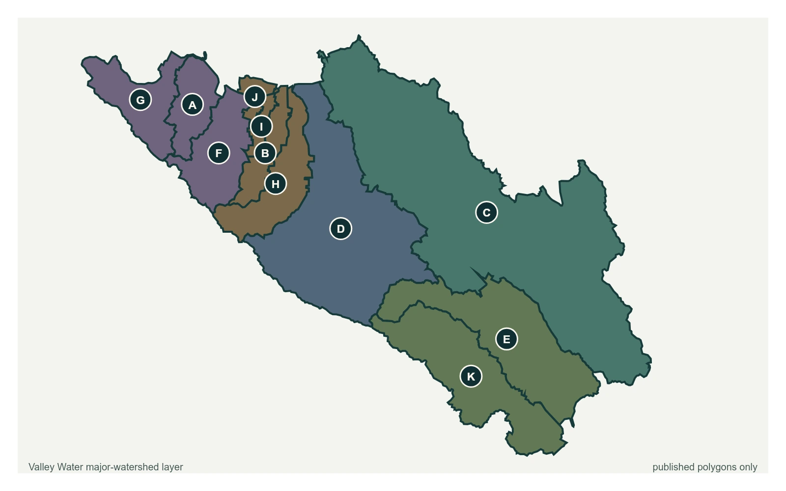
28 stream gauges · 14 rain gauges · 2 reservoirs · drains to San Francisco Bay
Coyote Creek runs the length of the valley floor, from the Diablo Range above Gilroy through east San Jose to the Bay at Alviso. It is the creek that flooded in February 2017.
8 gauges publish flood thresholds
35 stream gauges · 11 rain gauges · 5 reservoirs · drains to San Francisco Bay
The Guadalupe River gathers Los Gatos, Guadalupe, Alamitos and Calero creeks out of the Santa Cruz Mountains and carries them straight through downtown San Jose to the Bay.
9 gauges publish flood thresholds
16 stream gauges · 12 rain gauges · 1 reservoir · drains to San Francisco Bay
Stevens, Permanente, Adobe and San Francisquito creeks drop off the Santa Cruz Mountains through Cupertino, Los Altos, Mountain View and Palo Alto on short, steep runs to the Bay.
7 gauges publish flood thresholds
14 stream gauges · 2 rain gauges · 0 reservoirs · drains to San Francisco Bay
San Tomas Aquino, Saratoga, Calabazas and Sunnyvale creeks drain the west side of the valley through Saratoga, Campbell, Santa Clara and Sunnyvale.
5 gauges publish flood thresholds
21 stream gauges · 9 rain gauges · 2 reservoirs · drains to Monterey Bay
South county drains the other way. Uvas, Llagas and Pacheco creeks run south out of Santa Clara County into the Pajaro River and on to Monterey Bay.
3 gauges publish flood thresholds
5 stream gauges · 0 rain gauges · 0 reservoirs
Sensors Valley Water's feed does not assign to one of the five watersheds.
0 gauges publish flood thresholds