
Watershed
Pajaro
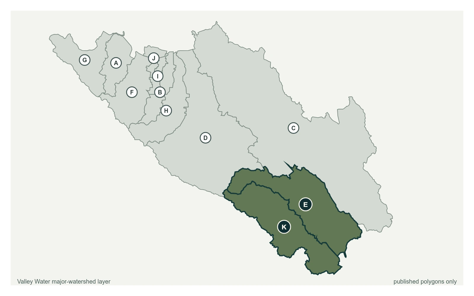
South county drains the other way. Uvas, Llagas and Pacheco creeks run south out of Santa Clara County into the Pajaro River and on to Monterey Bay.
21 stream gauges · 9 rain gauges · 2 reservoirs · drains to Monterey Bay
- Stream gauge
- Rain gauge
- Reservoir
- San Francisquito
- Adobe
- Permanente
- Sunnyvale West
- Sunnyvale East
- Calabazas
- San Tomas
- Guadalupe River
- Coyote
- Uvas
- Llagas
Reservoirs Above This Watershed
Water released or spilled from these reservoirs arrives at the gauges below.
| Reservoir | Storage | Elevation | Spills at |
|---|---|---|---|
| Chesbro Reservoir | 3,889 acre-feet | 506.8 ft | 525 ft |
| Uvas Reservoir | 5,063 acre-feet | 468.2 ft | 487.5 ft |
Stream Gauges, Upstream to Bay
Each creek is drawn top to bottom in the order the water runs. The bar beside each gauge is filled to its captured stage on that gauge's own local scale; the dashed rules across it are the flood thresholds Valley Water publishes for that location.
Uvas Creek
6 gauges, ordered north to south down the creek
- 4.71 ft · 1.22 cfs · no published threshold
Uvas Creek below Uvas Reservoir
1.82 ft · 14.14 cfs · no published threshold- 4.66 ft · 14.02 cfs · no published threshold
- 2.31 ft · 8.56 cfs · no published threshold
- 1.12 ft · 2.6 cfs · 2.88 ft below threshold 1
- 2.76 ft · 0.15 cfs · 5.24 ft below threshold 1
Llagas Creek
5 gauges, ordered north to south down the creek
Llagas Creek above Chesbro Reservoir
2.17 ft · 0.19 cfs · no published thresholdLlagas Creek below Chesbro Reservoir
1.24 ft · 9.83 cfs · no published thresholdLlagas Creek below Lake Silvera
6.70 ft · 4.54 cfs · no published thresholdLlagas Creek below Santa Teresa Blvd
3.63 ft · 7.59 cfs · no published thresholdLlagas Creek at Southside Dr (USGS)
1.16 ft · 12.8 cfs · no published threshold
East Little Llagas
3 gauges, ordered north to south down the creek
East Little Llagas above Sycamore Ave
1.97 ft · 0 cfs · no published thresholdEast Little Llagas below San Martin Ave 5173
4.98 ft · 0.07 cfs · no published thresholdEast Little Llagas at Church Ave
6.64 ft · 0 cfs · no published threshold
Other Gauges Here
Rain Gauges Here
| Gauge | Last hour | Last 24 hours | Season |
|---|---|---|---|
| Castro Valley | 0.00 in | 0.00 in | 20.59 in |
| Loma Prieta | 0.00 in | 0.00 in | 41.61 in |
| Uvas Reservoir | 0.00 in | 0.00 in | 23.98 in |
| Uvas Canyon County Park | 0.00 in | 0.00 in | 41.30 in |
| West Little Llagas | 0.00 in | 0.00 in | 18.27 in |
| Palm Ave | 0.00 in | 0.00 in | 16.61 in |
| Edmundson Ave | 0.00 in | 0.00 in | 17.80 in |
| Canada de los Osos | 0.00 in | 0.00 in | 20.43 in |
| Pacheco Reservoir | 0.00 in | 0.00 in | 18.43 in |