Reading 2.97 ft and 0 cfs. That is 4.03 feet below the first flood threshold.
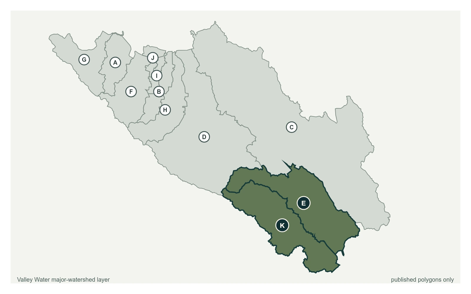
West Little Llagas below Edmundson Ave at 37.1114, -121.6440, exactly as positioned in Valley Water's sensor feed. Valley Water publishes Llagas, Uvas as a major watersheds here. The eleven published boundaries do not line up exactly with the five watershed groupings used here, and not every named creek has one.
Stream gauge
2.97 ft
Captured April 28, 2026 at 8:15 AM PT
Sensor ID 5117
37.1114, -121.6440
Included in Valley Water's flood watch, carries a forecast model
Reporting
What Floods at Each Level
These descriptions are Valley Water's own, quoted exactly as published for this gauge.
Threshold 1 · 7 ft(113 cfs)
4.03 ft above the current reading
Watch. Historical nuisance flooding along creek and roadways possible. Monitor Watsonville Road and Monterey Road. New flood control project constructed in 2025 that will change conditions.
Valley Water, threshold 1 description for West Little Llagas below Edmundson Ave
Threshold 3 · 9.5 ft(218 cfs)
6.53 ft above the current reading
Overbanking at Llagas Road and Llagas Creek continues north easterly along Llagas Road toward Hale Avenue. Possible overtopping near Wright Avenue and Hale Avenue. Homes against the creek, south of W Main Avenue and along Monterey Road are at risk. Rural areas downstream of Watsonville Road at risk for overland flow coming from the creek. Homes to the south of W Edmundson Avenue possibly at risk.
Valley Water, threshold 3 description for West Little Llagas below Edmundson Ave
Places This Gauge Covers
Streets and landmarks named in the threshold descriptions above.