
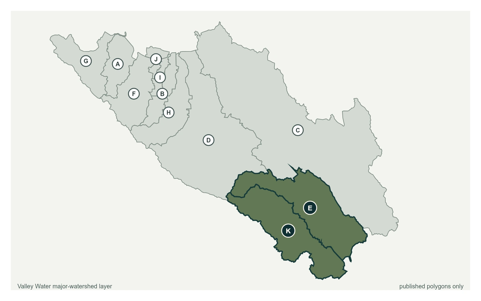
Little Arthur Creek at Redwood
Reading 1.16 ft and 0 cfs. Valley Water publishes no flood threshold for this location.
- Stream gauge
1.16 ft
Captured July 28, 2026 at 4:30 PM PT
- Sensor ID 5065
- 37.0281, -121.6594
- Not a flood watch sensor
- Reporting
Flood Thresholds
Valley Water publishes no flood thresholds for this sensor. It is monitored for water supply and stream conditions rather than for flood warning.
Sensor Notes
Data collection began on Nov. 19, 1965 and discontinued on October 11, 2011. Station operation resumed operation on January 20, 2021 to current.
Valley Water, sensor notes for Little Arthur Creek at Redwood