
New website by Stoa. Not the official Valley Water website.

Pajaro watershed

Pacheco Creek near Dunneville (USGS)

Reading 1.53 ft and 0 cfs. Valley Water publishes no flood threshold for this location.
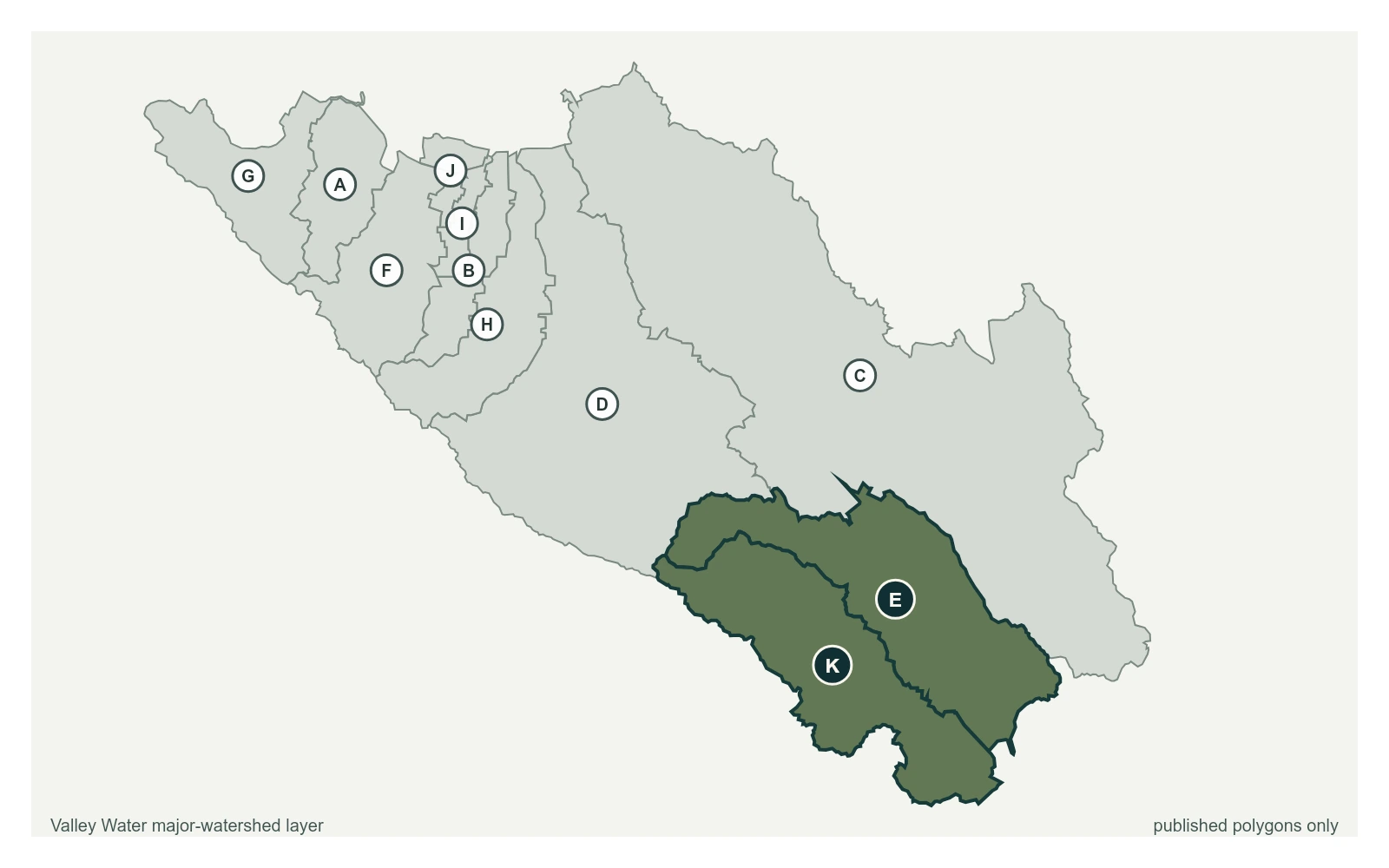
Pacheco Creek near Dunneville (USGS) plotted at latitude 36.9797 and longitude -121.3800 over Valley Water's published major-watershed layer.
Pacheco Creek near Dunneville (USGS) at 36.9797, -121.3800, exactly as positioned in Valley Water's sensor feed. Llagas, Uvas are the published polygons whose names match this portal group. The eleven published polygons do not exactly match the portal's five sensor groups and do not provide a boundary for every named creek.
  • Stream gauge

1.53 ft

Captured July 28, 2026 at 4:15 PM PT

  • Sensor ID 5081, USGS 11153000
  • 36.9797, -121.3800
  • Not a flood watch sensor
  • Reporting

Flood Thresholds

Valley Water publishes no flood thresholds for this sensor. It is monitored for water supply and stream conditions rather than for flood warning.

Sensor Notes

Operated by USGS

Valley Water, sensor notes for Pacheco Creek near Dunneville (USGS)