Threshold 1 · 8 ft (1,076 cfs)
5.24 ft above the current reading
Possible flooding to occur. Upstream low-flow crossings at Miller and RV Park should be closed.
Valley Water, threshold 1 description for Uvas Creek at W Luchessa Ave
 Surface Water Data Portal
Readings as of July 28, 2026 at 4:53 PM PT · not current conditions
Reading 2.76 ft and 0.15 cfs. That is 5.24 feet below the first flood threshold.
2.76 ft
Captured July 28, 2026 at 4:30 PM PT
These descriptions are Valley Water's own, quoted exactly as published for this gauge.
5.24 ft above the current reading
Possible flooding to occur. Upstream low-flow crossings at Miller and RV Park should be closed.
Valley Water, threshold 1 description for Uvas Creek at W Luchessa Ave
9.24 ft above the current reading
Minor argricultural flooding may begin downstream of Hwy 25. Flooding begins upstream of US-101 near Monterey Frontage Road. Flow travels southward across Mesa Rd. Soap Lake area likely has widespread rural flooding along the Pajaro River.
Valley Water, threshold 2 description for Uvas Creek at W Luchessa Ave
16.44 ft above the current reading
US-101 flooded just north of Bolsa Road and floodwaters will eventually move eastward across the highway. Monterey Road onramps flooded. Uvas Creek overbanks upstream of the RxR tracks near Bolsa Road. Flow travels along the west side of the tracks southward, overtopping CA-25 and inudating the US-101 / CA-25 ramp.
Valley Water, threshold 3 description for Uvas Creek at W Luchessa Ave
21.24 ft above the current reading
Widespread flooding of Gilroy south of Princevale Drain (Parallel to W 10th Street). Highway 25 flooded at the US-101 interchange, as well as toward the east.
Valley Water, threshold 4 description for Uvas Creek at W Luchessa Ave
Streets and landmarks named in the threshold descriptions above.
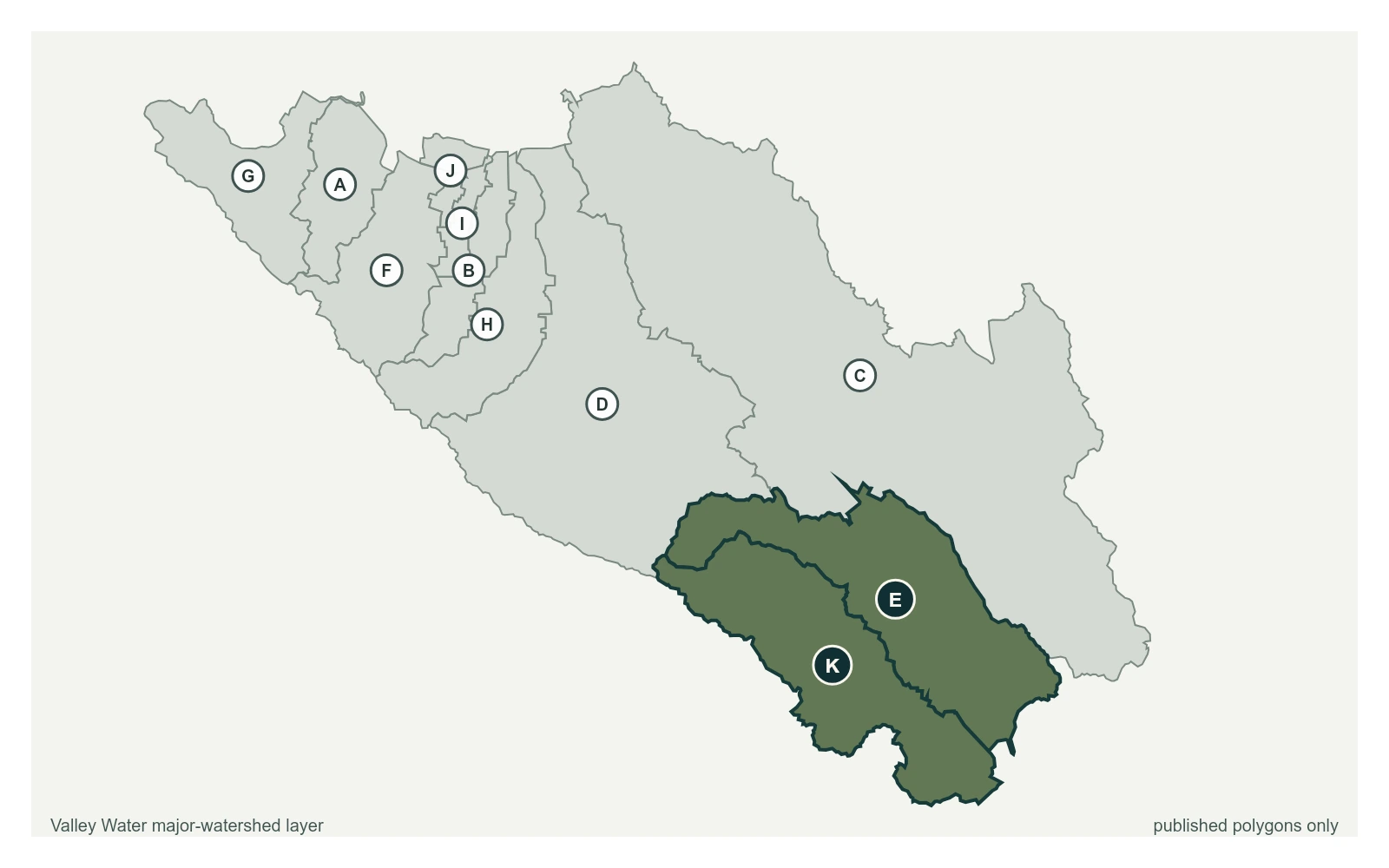
Where this gauge sits on Uvas Creek.
Uvas Creek below Uvas Reservoir
1.82 ft · 14.14 cfs · no published thresholdLow flow record is poor, with flows under 100cfs not recorded due to meandering channel missing measurement line. High flow records are good.
Valley Water, sensor notes for Uvas Creek at W Luchessa Ave