Named in 1 flood threshold description published by Valley Water.
What Valley Water Says Floods Here
Every quotation below is Valley Water's own text, unedited, with the captured reading and the exact distance to the first threshold that names this place.
Pajaro watershed · captured reading 2.76 ft · first named at threshold 3, 19.2 ft
At the captured reading, this creek is 16.44 feet below the level where CA-25 is named.
Flow travels along the west side of the tracks southward, overtopping CA-25 and inudating the US-101 / CA-25 ramp.
Valley Water, threshold 3 description for Uvas Creek at W Luchessa Ave
Gauge Location
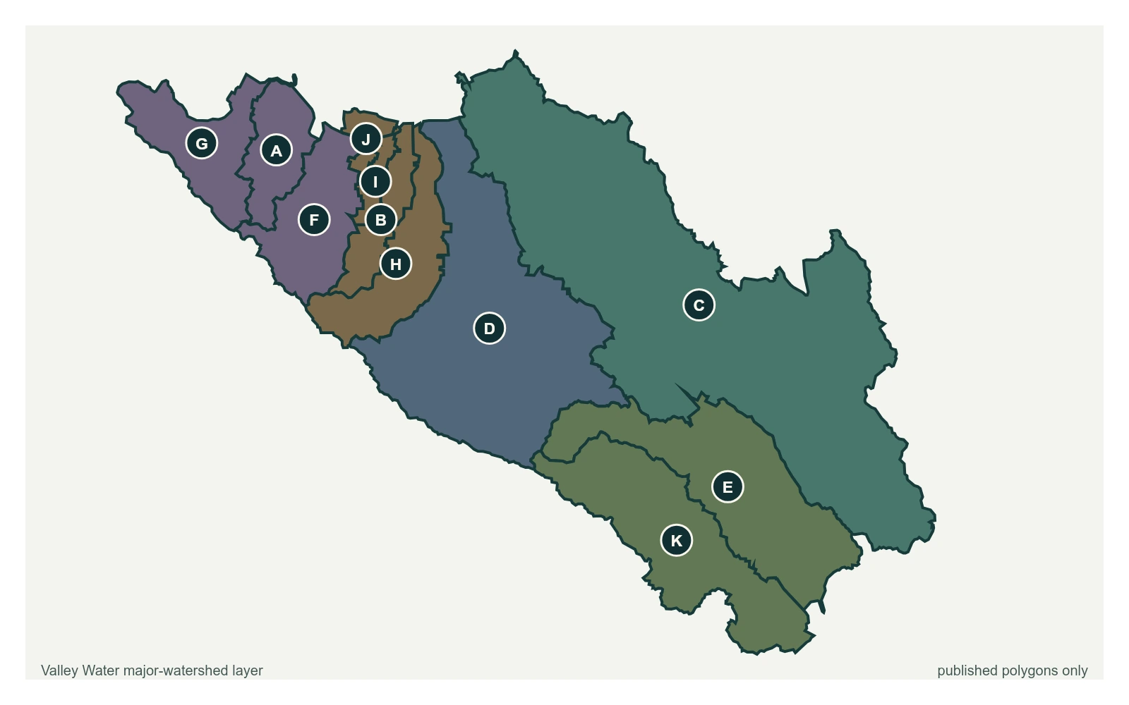
The point marks the gauge location whose published threshold text names CA-25; it does not claim a coordinate for the street or landmark. All eleven polygons in Valley Water's published major-watershed layer are shown. The eleven published boundaries do not line up exactly with the five watershed groupings used here, and not every named creek has one.
Stream gauge
A place named here is not a flood prediction. It is what Valley Water records as at risk when a creek reaches that level. For an emergency, call 911.