Threshold 1 · 4 ft
2.88 ft above the current reading
Creek getting close to overtopping Silva's Crossing.
Valley Water, threshold 1 description for Uvas Creek at Miller Avenue
 Surface Water Data Portal
Readings as of July 28, 2026 at 4:53 PM PT · not current conditions
Reading 1.12 ft and 2.6 cfs. That is 2.88 feet below the first flood threshold.
1.12 ft
Captured July 28, 2026 at 4:30 PM PT
These descriptions are Valley Water's own, quoted exactly as published for this gauge.
2.88 ft above the current reading
Creek getting close to overtopping Silva's Crossing.
Valley Water, threshold 1 description for Uvas Creek at Miller Avenue
4.88 ft above the current reading
Road (Silva's Crossing) beginning to inundate with water from Uvas Creek..
Valley Water, threshold 2 description for Uvas Creek at Miller Avenue
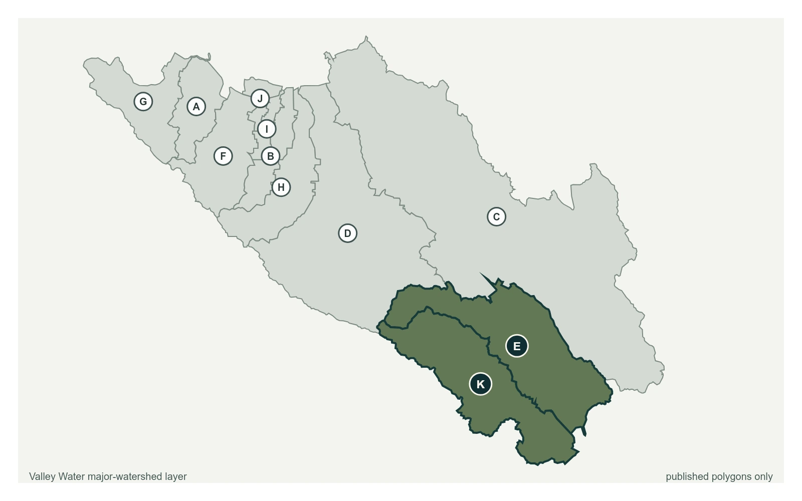
Where this gauge sits on Uvas Creek.
Uvas Creek below Uvas Reservoir
1.82 ft · 14.14 cfs · no published thresholdSensor for water rights, water supply, and operations. Due to the poor control conditions the stage discharge relationship is poor at best. Several organizations in the area monitor and clear debris from the culverts/control. The computed discharge range was limited to 100 cfs because of the poor control conditions. Upper limit for flow record is 100 cfs.
Valley Water, sensor notes for Uvas Creek at Miller Avenue