
Watershed
West Valley
San Tomas Aquino, Saratoga, Calabazas and Sunnyvale creeks drain the west side of the valley through Saratoga, Campbell, Santa Clara and Sunnyvale.
14 stream gauges · 2 rain gauges · 0 reservoirs · drains to San Francisco Bay
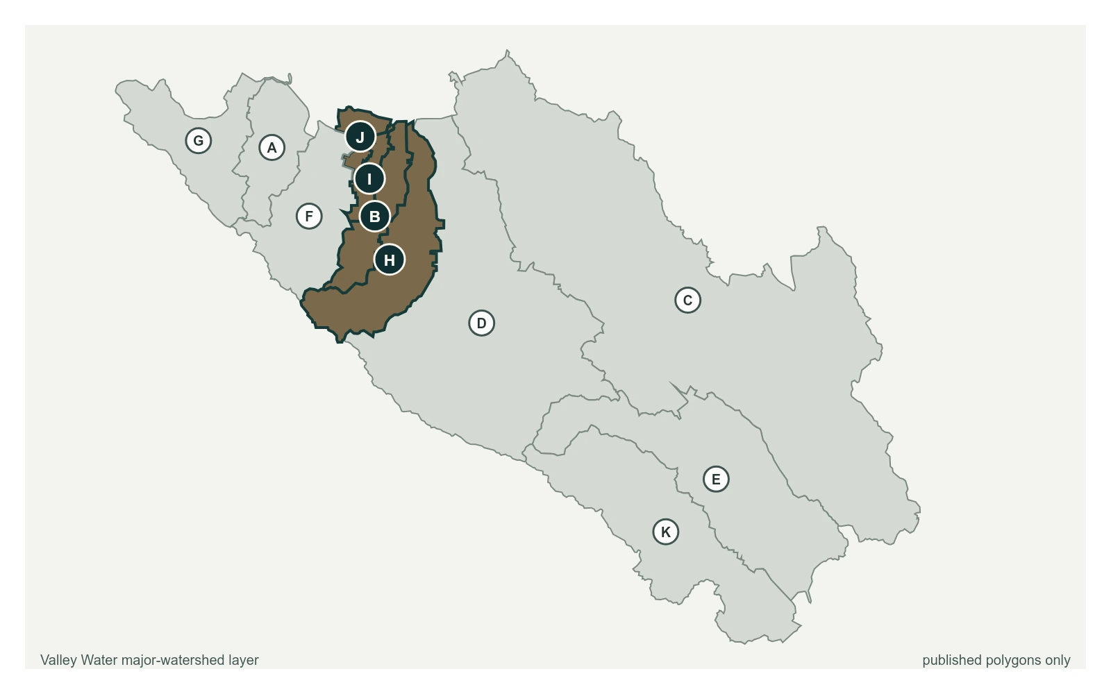
- Stream gauge
- Rain gauge
- San Francisquito
- Adobe
- Permanente
- Sunnyvale West
- Sunnyvale East
- Calabazas
- San Tomas
- Guadalupe River
- Coyote
- Uvas
- Llagas
Stream Gauges, Upstream to Bay
Each creek is drawn top to bottom in the order the water runs. The bar beside each gauge is filled to its captured stage on that gauge's own local scale; the dashed rules across it are the flood thresholds Valley Water publishes for that location.
Calabazas Creek
2 gauges, ordered south to north down the creek
Calabazas Creek above Rainbow Ave
0.98 ft · 0 cfs · no published threshold- 1.11 ft · 0.25 cfs · no published threshold
San Tomas Creek
2 gauges, ordered south to north down the creek
San Tomas Creek at UPRR near Quito Rd
2.30 ft · 0 cfs · no published thresholdSan Tomas Creek above Williams Rd
0.51 ft · 0 cfs · 5.29 ft below threshold 1
Saratoga Creek
2 gauges, ordered south to north down the creek
Saratoga Creek at Saratoga (USGS)
2.08 ft · 1.27 cfs · no published thresholdSaratoga Creek at Pruneridge Ave
0.61 ft · 0 cfs · no published threshold
Sunnyvale East Channel
2 gauges, ordered south to north down the creek
Sunnyvale East Channel at Bayshore Frontage Rd
1.49 ft · 2.29 cfs · 4.51 ft below threshold 1Sunnyvale East Channel at Baylands Park (Stage Only)
4.96 ft · 0 cfs · no published threshold
Other Gauges Here
Rain Gauges Here
| Gauge | Last hour | Last 24 hours | Season |
|---|---|---|---|
| Valley Christian | 0.00 in | 0.00 in | 42.05 in |
| West Yard | 0.00 in | 0.00 in | 15.71 in |