Threshold 1 · 12 ft (2,850 cfs)
8.02 ft above the current reading
Flood watch
Valley Water, threshold 1 description for San Tomas Aquino Creek at Mission College Blvd
 Surface Water Data Portal
Readings as of July 28, 2026 at 4:53 PM PT · not current conditions
Reading 3.98 ft and 3.18 cfs. That is 8.02 feet below the first flood threshold.
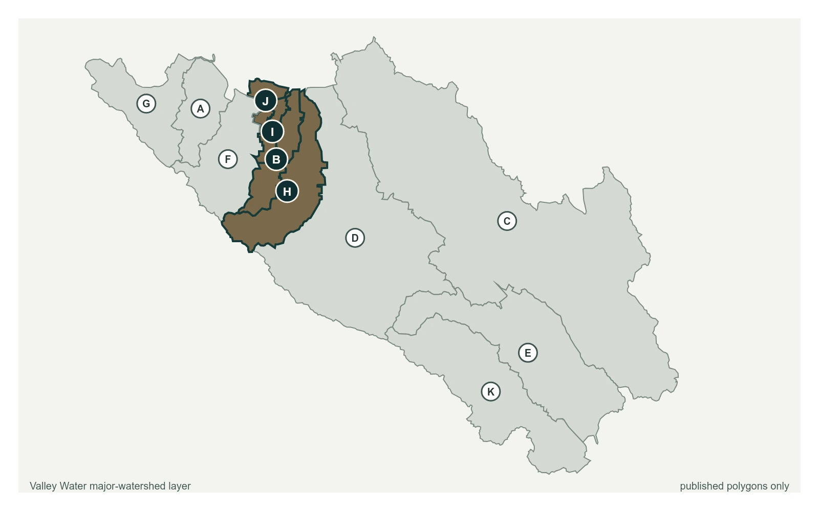
3.98 ft
Captured July 28, 2026 at 4:30 PM PT
These descriptions are Valley Water's own, quoted exactly as published for this gauge.
8.02 ft above the current reading
Flood watch
Valley Water, threshold 1 description for San Tomas Aquino Creek at Mission College Blvd
15.52 ft above the current reading
Possible overtopping upstream of Agnew Rd
Valley Water, threshold 2 description for San Tomas Aquino Creek at Mission College Blvd
Sensor is high flow (50cfs+) Record is considered fair to poor due to the lack of discharge measurements coupled with dynamic vegetation growth.
Valley Water, sensor notes for San Tomas Aquino Creek at Mission College Blvd