Threshold 1 · 6 ft (400 cfs)
4.51 ft above the current reading
Action Stage. Possible Flooding to Occur
Valley Water, threshold 1 description for Sunnyvale East Channel at Bayshore Frontage Rd
 Surface Water Data Portal
Readings as of July 28, 2026 at 4:53 PM PT · not current conditions
Reading 1.49 ft and 2.29 cfs. That is 4.51 feet below the first flood threshold.
1.49 ft
Captured July 28, 2026 at 4:40 PM PT
These descriptions are Valley Water's own, quoted exactly as published for this gauge.
4.51 ft above the current reading
Action Stage. Possible Flooding to Occur
Valley Water, threshold 1 description for Sunnyvale East Channel at Bayshore Frontage Rd
5.01 ft above the current reading
West levee begins to overtop immediately North of Caribbean Drive into drainage ditch.
Valley Water, threshold 2 description for Sunnyvale East Channel at Bayshore Frontage Rd
6.51 ft above the current reading
Levees immediately downstream and upstream of Caribbean Drive at risk of overtopping. Minimal flooding/ponding in Twin Creek Sports Complex and businesses south of Caribbean Dr. Area is also influenced by tides. Duane Ave to Wolfe Rd - east bank begins to overtop, causing localized ponding in the parking lot located east of the creek.
Valley Water, threshold 3 description for Sunnyvale East Channel at Bayshore Frontage Rd
8.01 ft above the current reading
Channel overtopping is possible upstream of Evelyn on the east bank, Wolfe Road, along the east bank upstream of Duane, for a short reach on both banks between Tasman and US-101, and immediately upstream and downstream of Caribbean Drive. Flooding of major streets near the channel alignment, including Caribbean Drive, Tasman Drive, Fair Oaks Avenue, Wolfe Road, Ahwanee Avenue, Evelyn Avenue, Kifer Road, and Central Expressway. Possible shallow sheet flow across Hwy 101. Flooding of businesses, homes and neighborhood streets occurs north of Evelyn Drive, extending north to Hwy 237, between Fair Oaks Ave to the west and Lawrence Expressway to the east. North of Hwy 237, flooding occurs on both sides of the channel, affecting Twin Creeks Ball Park and Baylands Park.
Valley Water, threshold 4 description for Sunnyvale East Channel at Bayshore Frontage Rd
Streets and landmarks named in the threshold descriptions above.
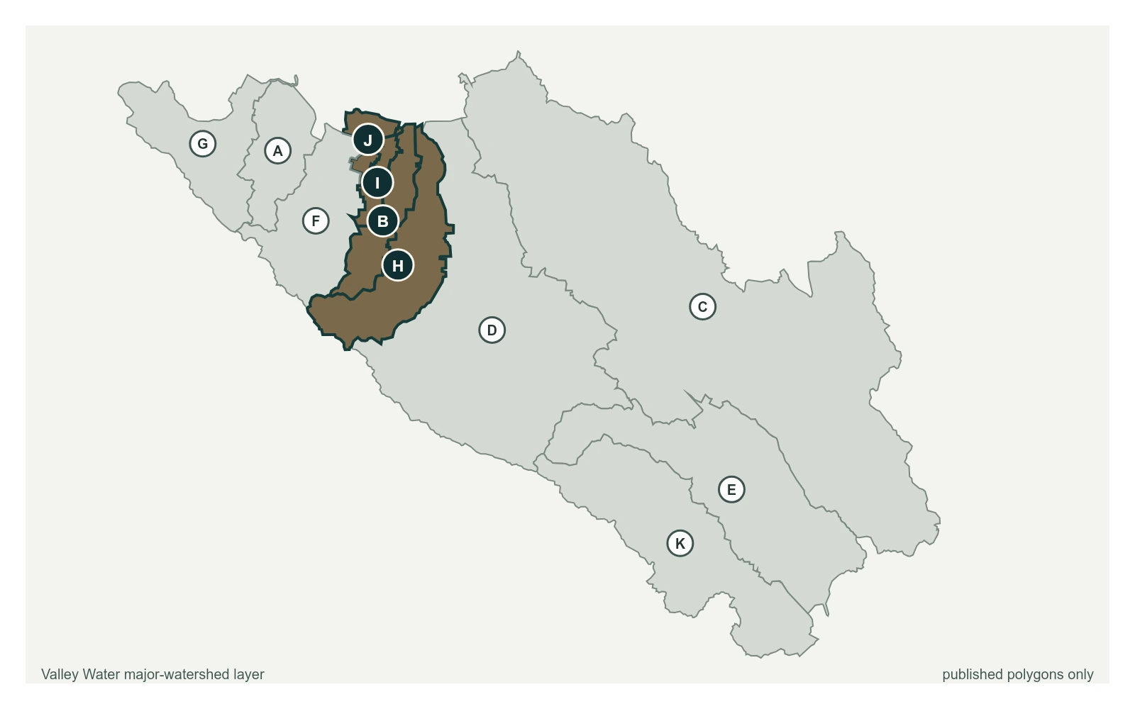
Where this gauge sits on Sunnyvale East Channel.
Sunnyvale East Channel at Bayshore Frontage Rd
1.49 ft · 2.29 cfs · 4.51 ft below threshold 1Sunnyvale East Channel at Baylands Park (Stage Only)
4.96 ft · 0 cfs · no published thresholdRecord should be considered poor due to the lack of high flow measurements. Orifice was moved upstream of the gaging bridge in late WY2016. Ground Water discharge into the stream causes the water level to fluctuate making it difficult to attach a gage height to discharge measurements. Gage converted to high flow only in WY2013. Sensor is for flood operations. Only flows above 50cfs are recorded.
Valley Water, sensor notes for Sunnyvale East Channel at Bayshore Frontage Rd