Threshold 1 · 4.5 ft
2.49 ft above the current reading
Flow in channel may cause heavy debris blockage at the trash rack.
Valley Water, threshold 1 description for El Camino Storm Drain at Willow Ave (Stage Only)
 Surface Water Data Portal
Readings as of July 28, 2026 at 4:53 PM PT · not current conditions
Reading 2.01 ft and 0 cfs. That is 2.49 feet below the first flood threshold.
2.01 ft
Captured July 28, 2026 at 4:45 PM PT
These descriptions are Valley Water's own, quoted exactly as published for this gauge.
2.49 ft above the current reading
Flow in channel may cause heavy debris blockage at the trash rack.
Valley Water, threshold 1 description for El Camino Storm Drain at Willow Ave (Stage Only)
6.99 ft above the current reading
Overbanking on south side of channel into Buttercup Terrace.
Valley Water, threshold 2 description for El Camino Storm Drain at Willow Ave (Stage Only)
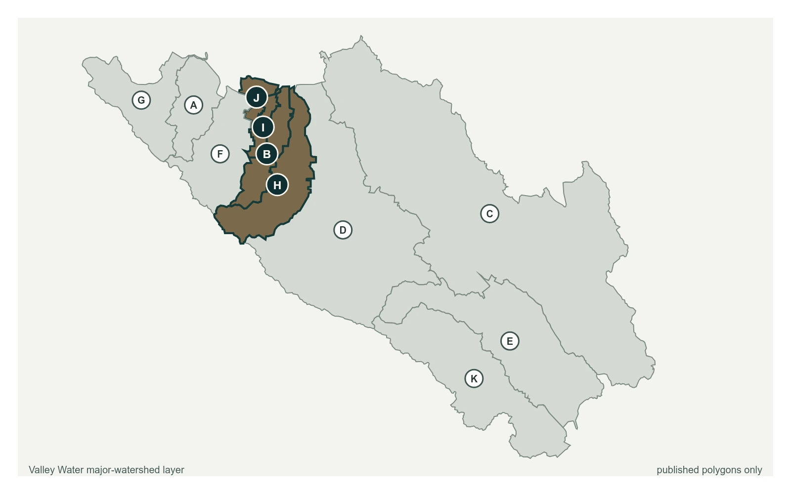
Streets and landmarks named in the threshold descriptions above.
Stage only sensor used for flood alarms from debris collecting on trash rack.
Valley Water, sensor notes for El Camino Storm Drain at Willow Ave (Stage Only)