
Saratoga Creek at Saratoga (USGS)
Reading 2.08 ft and 1.27 cfs. Valley Water publishes no flood threshold for this location.
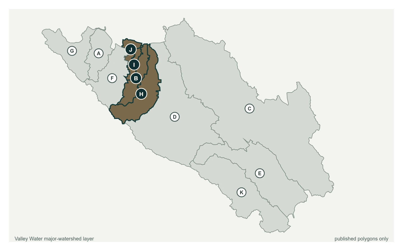
- Stream gauge
2.08 ft
Captured July 28, 2026 at 4:15 PM PT
- Sensor ID 5096, USGS 11169500
- 37.2543, -122.0390
- Not a flood watch sensor
- Reporting
Flood Thresholds
Valley Water publishes no flood thresholds for this sensor. It is monitored for water supply and stream conditions rather than for flood warning.
Upstream and Downstream
Where this gauge sits on Saratoga Creek.
Saratoga Creek at Saratoga (USGS)
2.08 ft · 1.27 cfs · no published thresholdSaratoga Creek at Pruneridge Ave
0.61 ft · 0 cfs · no published threshold
Sensor Notes
Sensor is operated by USGS
Valley Water, sensor notes for Saratoga Creek at Saratoga (USGS)