Threshold 1 · 5.8 ft (1,611 cfs)
5.29 ft above the current reading
Flood Watch
Valley Water, threshold 1 description for San Tomas Creek above Williams Rd
 Surface Water Data Portal
Readings as of July 28, 2026 at 4:53 PM PT · not current conditions
Reading 0.51 ft and 0 cfs. That is 5.29 feet below the first flood threshold.
0.51 ft
Captured July 28, 2026 at 4:32 PM PT
These descriptions are Valley Water's own, quoted exactly as published for this gauge.
5.29 ft above the current reading
Flood Watch
Valley Water, threshold 1 description for San Tomas Creek above Williams Rd
5.69 ft above the current reading
Overbanking possible near Williams Road, Payne Avenue, West Hamilton Avenue, and Campbell Avenue, causing street flooding. Possible overbanking onto San Tomas Expressway between Homestead Rd and Forbes Ave, where the underground culvert daylights for a short stretch.
Valley Water, threshold 2 description for San Tomas Creek above Williams Rd
5.89 ft above the current reading
Spills upstream of Willliams Road move toward the west and move northward along Boynton Avenue, ponding along I-280. Worst flooding east of Boynton High School. Overbanking upstream of Homestead Rd spread along San Tomas Expressway moves northward and spreads into surrounding neighborhoods. If Saragota Creek has substantial flows as well, overbanking on the east bank is possible between US-101 and Scott Blvd.
Valley Water, threshold 3 description for San Tomas Creek above Williams Rd
6.19 ft above the current reading
San Tomas Expwy flooded, with water moving northward under the I-280 viaduct toward Homestead. Water sheet flows along roads toward Pruneridge Golf Course. Extensive flooding stemming from the daylighted culvert upstream of Homestead Rd. Areas east of Kiely Blvd and west of Scott Blvd are at risk. Floodwaters may continue to move northward, bounded by San Tomas and Scott Blvd, crossing the Caltrain tracks toward US-101. If Saragota Creek has substantial flows as well, overbanking will occur on the east bank between US-101 and Scott Blvd, bounded by the creek and San Tomas Expwy, inundating the office park.
Valley Water, threshold 4 description for San Tomas Creek above Williams Rd
Streets and landmarks named in the threshold descriptions above.
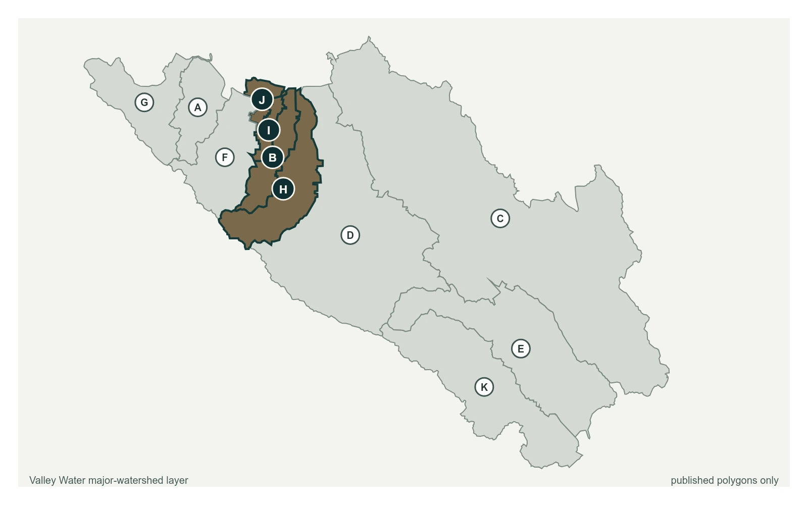
Where this gauge sits on San Tomas Creek.
San Tomas Creek at UPRR near Quito Rd
2.30 ft · 0 cfs · no published thresholdSan Tomas Creek above Williams Rd
0.51 ft · 0 cfs · 5.29 ft below threshold 1Sensor operated for water rights, water supply, flood protection, operations and environmental monitoring. Turnout 44P of the Stevens Creek pipeline is upstream of station. Recharge overflow from the Page ponds also upstream of station. Smith Creek also enters San Tomas Creek above station. Station is normally dry during summer months. Low flows are difficult to measure because of the wide, concrete channel and slow velocities. High flows above 1,000cfs become very turbulent and accuracy above this value is questionable.
Valley Water, sensor notes for San Tomas Creek above Williams Rd