Reading 2.15 ft and 2.15 cfs. That is 3.85 feet below the first flood threshold.
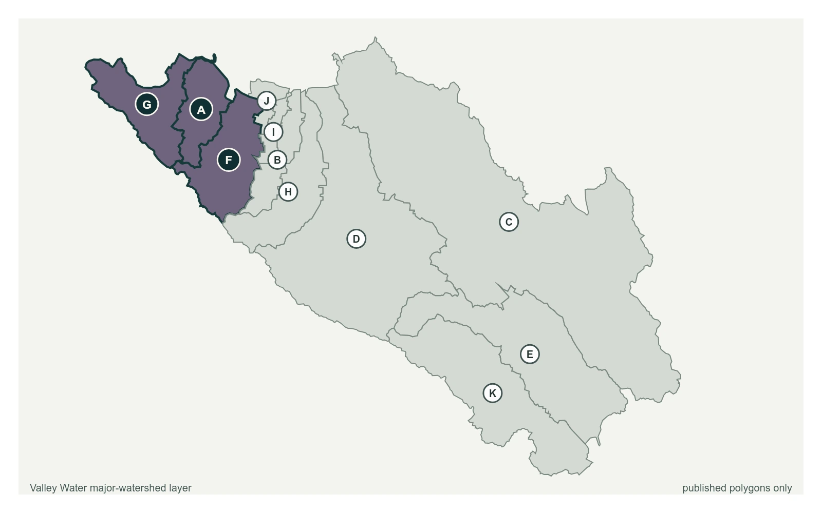
Stevens Creek below Stevens Creek Reservoir at 37.3059, -122.0730, exactly as positioned in Valley Water's sensor feed. Valley Water publishes San Francisquito, Adobe, Permanente as a major watersheds here. The eleven published boundaries do not line up exactly with the five watershed groupings used here, and not every named creek has one.
Stream gauge
2.15 ft
Captured July 28, 2026 at 4:30 PM PT
Sensor ID 5044
37.3059, -122.0730
Included in Valley Water's flood watch, carries a forecast model
Reporting
What Floods at Each Level
These descriptions are Valley Water's own, quoted exactly as published for this gauge.
Threshold 1 · 6 ft(1,100 cfs)
3.85 ft above the current reading
Possible flooding along Florence Dr and along Deep Cliff and Blackberry Farms Golf Courses, as well as overbanking upstream of Stevens Creek Blvd.
Valley Water, threshold 1 description for Stevens Creek below Stevens Creek Reservoir
Threshold 2 · 7 ft(1,500 cfs)
4.85 ft above the current reading
Area near McClellan Ranch Preserve may flood upstream of McClellan Road, overflowing the road and surrounding low areas. Some houses and streets possibly flooded on Florence Dr., Creston Dr., Phar Lap Dr., Creekside Ct., and Clearwood Ct.
Valley Water, threshold 2 description for Stevens Creek below Stevens Creek Reservoir
Threshold 3 · 9.5 ft(3,000 cfs)
7.35 ft above the current reading
Homes between I-280 and Stevens Creek Blvd at risk of structure damage due to flooding on the streets and throughout the neighborhood within the floodplain.
Valley Water, threshold 3 description for Stevens Creek below Stevens Creek Reservoir
Places This Gauge Covers
Streets and landmarks named in the threshold descriptions above.