Reading 2.18 ft and 0 cfs. That is 6.82 feet below the first flood threshold.
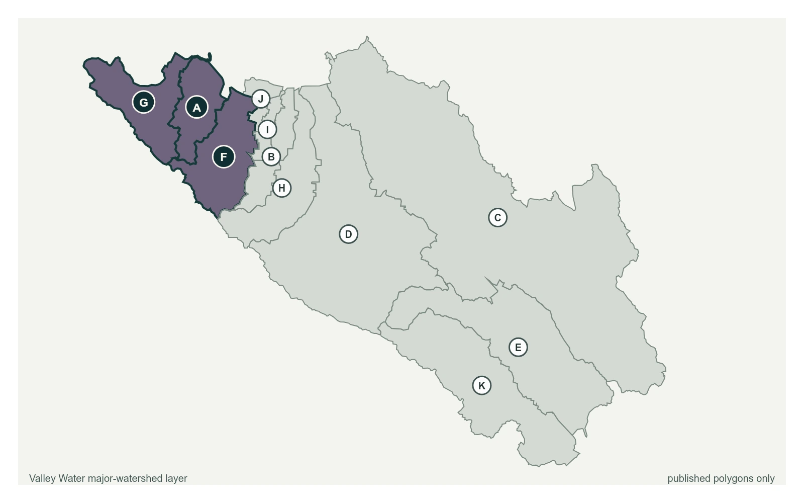
Permanente Creek at Rancho San Antonio Park at 37.3329, -122.0880, exactly as positioned in Valley Water's sensor feed. Valley Water publishes San Francisquito, Adobe, Permanente as a major watersheds here. The eleven published boundaries do not line up exactly with the five watershed groupings used here, and not every named creek has one.
Stream gauge
2.18 ft
Captured July 28, 2026 at 4:30 PM PT
Sensor ID 5120
37.3329, -122.0880
Included in Valley Water's flood watch
Reporting
What Floods at Each Level
These descriptions are Valley Water's own, quoted exactly as published for this gauge.
Threshold 1 · 9 ft(530 cfs)
6.82 ft above the current reading
The weir at Rancho San Antonio South Basin is overtopped and starts spilling into detention basins as designed
Valley Water, threshold 1 description for Permanente Creek at Rancho San Antonio Park
Threshold 3 · 11.5 ft(1,250 cfs)
9.32 ft above the current reading
Very high flows. Check downstream gages for impacts. High likelihood for potential flooding
Valley Water, threshold 3 description for Permanente Creek at Rancho San Antonio Park