Threshold 1 · 6 ft (167 cfs)
1.76 ft above the current reading
Watch. Culvert debris can adversely affect capacity at King Rd, Mabury Rd and Educational Park Drive.
Valley Water, threshold 1 description for Upper Penitencia Creek at Piedmont Rd
 Surface Water Data Portal
Readings as of July 28, 2026 at 4:53 PM PT · not current conditions
Reading 4.24 ft and 0 cfs. That is 1.76 feet below the first flood threshold.
4.24 ft
Captured July 28, 2026 at 4:30 PM PT
These descriptions are Valley Water's own, quoted exactly as published for this gauge.
1.76 ft above the current reading
Watch. Culvert debris can adversely affect capacity at King Rd, Mabury Rd and Educational Park Drive.
Valley Water, threshold 1 description for Upper Penitencia Creek at Piedmont Rd
2.76 ft above the current reading
Initial spill south of King Rd, apartment complexes and residential homes near Lundy/King Rd and Berryessa Bart station and its surround areas are at risk. Flooding spread southward into neighborhood streets putting surrounding residential homes at risk. Flea market is at risk of flooding. Flood water can spread further southward and move onto commercial parcels south of Mabury Rd. Commodore neighborhood also at risk.
Valley Water, threshold 2 description for Upper Penitencia Creek at Piedmont Rd
4.76 ft above the current reading
Flooding may occur along Penitencia Creek Road with overbanking occurring at multiple locations, mostly spilling southward upstream of Capitol Avenue. The Commodore neighborhood may experience flooding. Neighborhood south of Educational Park Drive floods. Significant overbanking occurs on both sides of Upper Penitencia Creek throughout if flood increases. Widespread flooding occurs as flood wave expands, sheet flowing along roads to both the north and the south, ponding against I-680.
Valley Water, threshold 3 description for Upper Penitencia Creek at Piedmont Rd
6.26 ft above the current reading
Sustained flooding would cause floodwaters to move north westerly towards Capitol and I-680, as well as south westerly toward McKee Road. I-680 at risk of flooding under the McKee and Alum Rock interchanges. Downstream of I-680, floodwaters move southwards toward Lower Silver Creek, and northwards following parallel to Coyote Creek, south of Lundy Avenue. Water may move further north toward Milpitas, crossing Montague Expwy and following Capitol Avenue toward I-880.
Valley Water, threshold 4 description for Upper Penitencia Creek at Piedmont Rd
Streets and landmarks named in the threshold descriptions above.
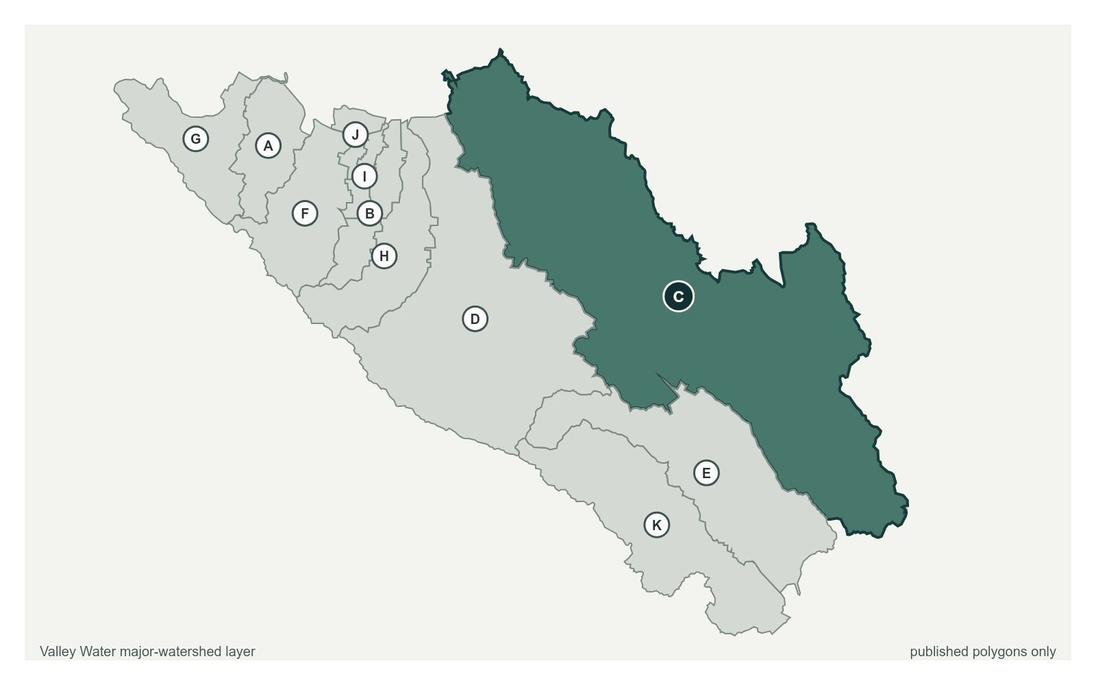
Where this gauge sits on Upper Penitencia Creek.
Upper Penitencia Creek below Educational Park Drive
3.43 ft · 0 cfs · no published thresholdUpper Penitencia Creek at Piedmont Rd
4.24 ft · 0 cfs · 1.76 ft below threshold 1Upper Penitencia Creek at Dorel Dr
6.93 ft · 0.02 cfs · no published thresholdThis sensor is maintained for water supply and flood control purposes. January 2023 high flows destroyed the original gage location (5001) and subsequently moved the forecast and threshold monitoring for this sensor upstream to sensor 5083 and Dorel Drive until 2024. Gage was rebuilt as 5001_1 about 60' upstream of Piedmont bridge in 2024 and has resumed functions as the primary forecast and threshold sensor. Flow is influenced by Cherry Flat Reservoir, upstream irrigation, in-stream recharge, and diversions into Penitencia Ponds. This gage has had a persistent issue with sediment burying the orifice due to the high sediment loads coming from the hills, causing inaccurate gage height record. The channel upstream of the weir was excavated in 2006 and 2010 to remove sediment. To address the persistent orifice burial issue in December of 2019, the orifice line was extended to a portion of the channel that may be less prone to deposition.
Valley Water, sensor notes for Upper Penitencia Creek at Piedmont Rd