
New website by Stoa. Not the official Valley Water website.

Streets and landmarks

Mabury Road

Named in 2 flood threshold descriptions published by Valley Water.

What Valley Water Says Floods Here

Every quotation below is Valley Water's own text, unedited, with the captured reading and the exact distance to the first threshold that names this place.

Upper Penitencia Creek at Piedmont Rd

Coyote watershed · captured reading 4.24 ft · first named at threshold 1, 6 ft

At the captured reading, this creek is 1.76 feet below the level where Mabury Road is named.

Culvert debris can adversely affect capacity at King Rd, Mabury Rd and Educational Park Drive.

Valley Water, threshold 1 description for Upper Penitencia Creek at Piedmont Rd

Flood water can spread further southward and move onto commercial parcels south of Mabury Rd.

Valley Water, threshold 2 description for Upper Penitencia Creek at Piedmont Rd
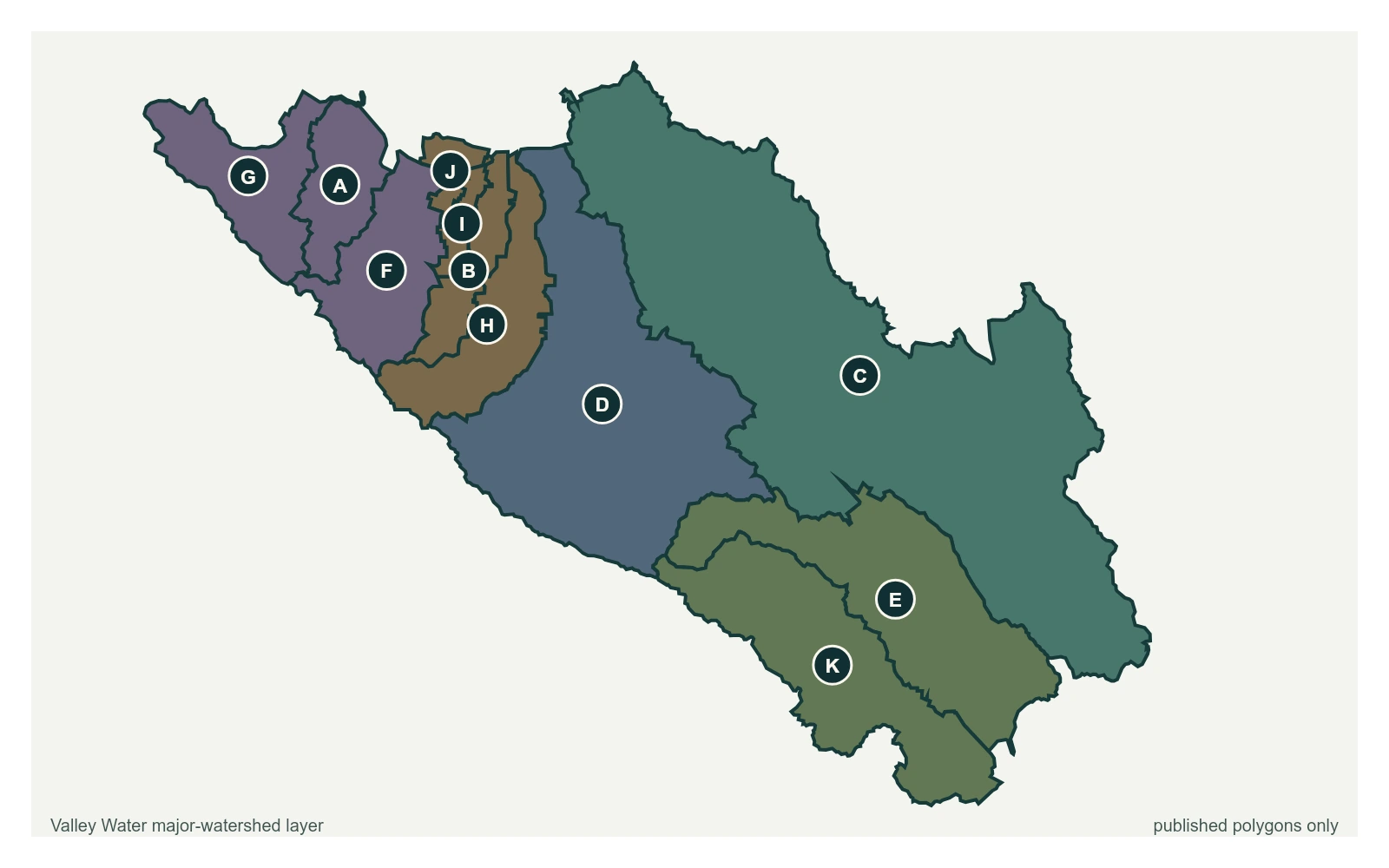
Gauge Location

1 stream gauge whose Valley Water threshold descriptions name Mabury Road.
The point marks the gauge location whose published threshold text names Mabury Road; it does not claim a coordinate for the street or landmark. All eleven polygons in Valley Water's published major-watershed layer are shown. The eleven published boundaries do not line up exactly with the five watershed groupings used here, and not every named creek has one.
  • Stream gauge

A place named here is not a flood prediction. It is what Valley Water records as at risk when a creek reaches that level. For an emergency, call 911.

Get an alert when one of these gauges crosses a threshold