
Coyote Ck below Coyote Ranch Rd
Reading -1.90 ft and 0 cfs. Valley Water publishes no flood threshold for this location.
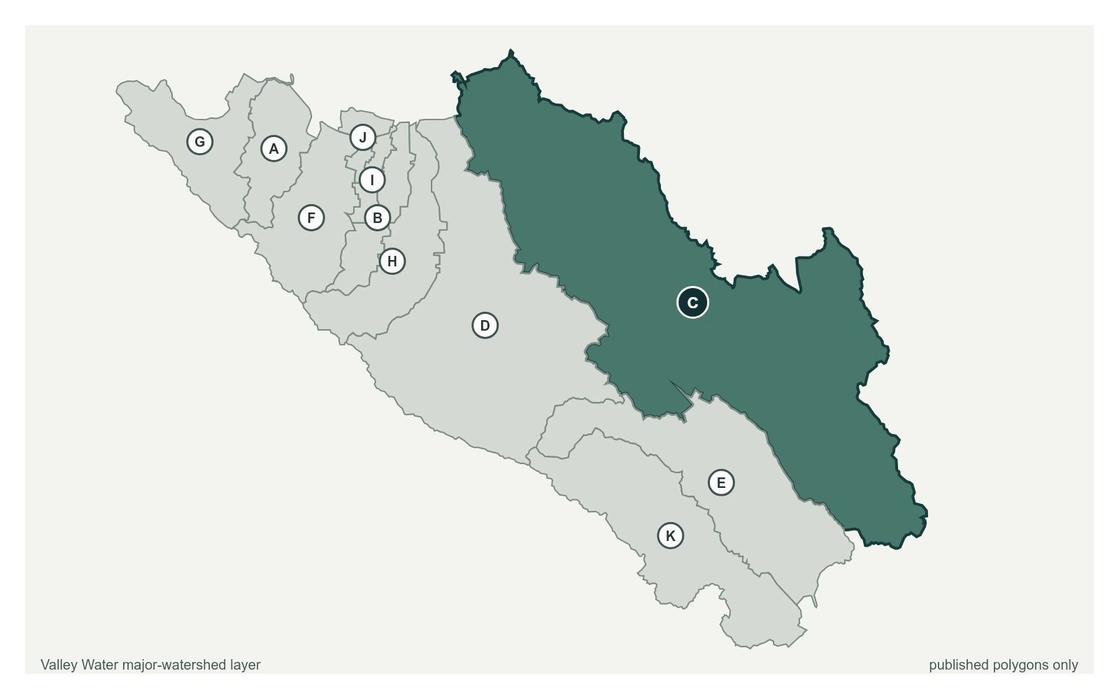
- Stream gauge
-1.90 ft
Captured July 28, 2026 at 4:30 PM PT
- Sensor ID 5007
- 37.2178, -121.7400
- Not a flood watch sensor
- Reporting
Flood Thresholds
Valley Water publishes no flood thresholds for this sensor. It is monitored for water supply and stream conditions rather than for flood warning.
Sensor Notes
Low Flow gage for Water Supply and Operations. Gage moved in July 2012 to a location approximately 135 ft. downstream of bridge location originally established on May, 05, 1988. A previous site was located at Metcalf Rd. Discharge calculation is capped at 220cfs due to backwater influence from downstream culvert.
Valley Water, sensor notes for Coyote Ck below Coyote Ranch Rd