
The newest issue of The Tripod
The Tripod, Fall 2026
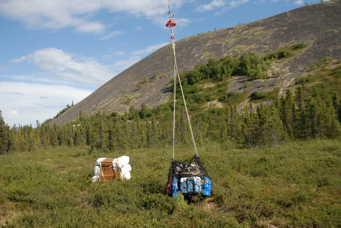
- Unalakleet volunteers haul cabin materials
- Iditarod ‘Trail Breakers’ clear extreme trees
- Maintaining rainforest trails
- Board seats open for nominations
Seward to Nome
Traversing from Seward to Nome, explore the history of the route and the adventure it provides to this day throughout Alaska.
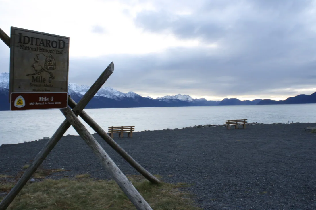
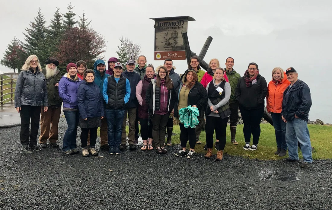
Mile 0 · Seward
The Iditarod National Historic Trail was designated by Congress as a National Historic Trail in 1978 to commemorate the last great American gold rush. It is a part of the National Trails System, which includes National Historic and National Scenic Trails across America.
The INHT is a system of trails. Some of those trails first connected Alaska Native villages. Others opened up Alaska for the gold rush. Together they celebrate Alaska's history and dog mushing legacy. They also continue to be vital for travel and recreation across Alaska today.
Seward to Nome in three regions
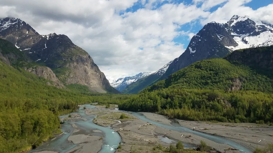 Seward to Knik
Southcentral
From the ice-free port at Seward over the Kenai and Chugach Mountains to the old outfitting town of Knik, the stretch of the trail you can reach by road, rail and bike path.
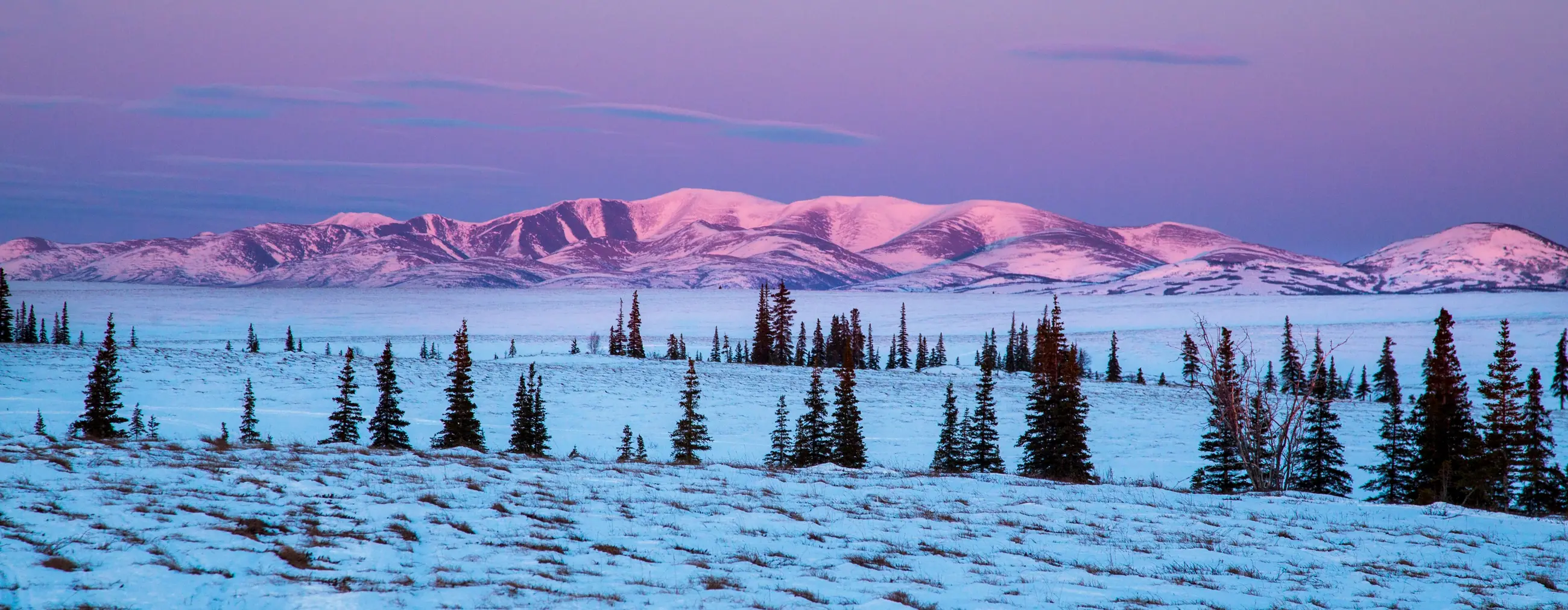 Skwentna to Kaltag
Interior/Rivers
Over the Alaska Range at Rainy Pass to McGrath, the goldfields around Iditarod and Flat, and the Yukon River at Kaltag: winter country beyond the road system, reached by plane and, in winter, by trail.
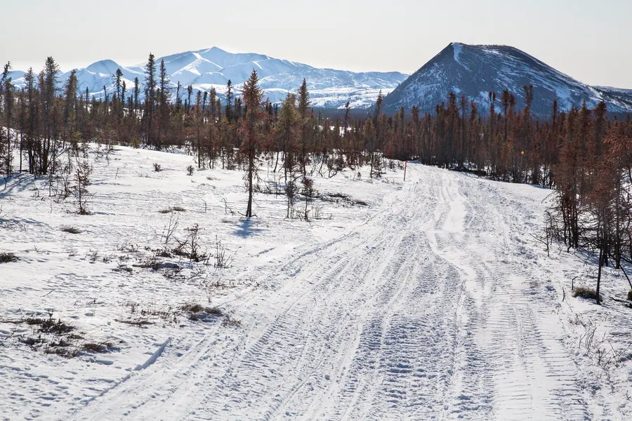 Unalakleet to Nome
Bering Sea Coast
Down the Kaltag Portage to Norton Sound and along the coast, village to village, to the beaches at Nome that were once filled with gold.
Multiple uses of the INHT
The Iditarod Trail is primarily a winter trail and many sections of the Trail are barely usable in the summer. Locals rely on rivers for inter-village transportation instead.
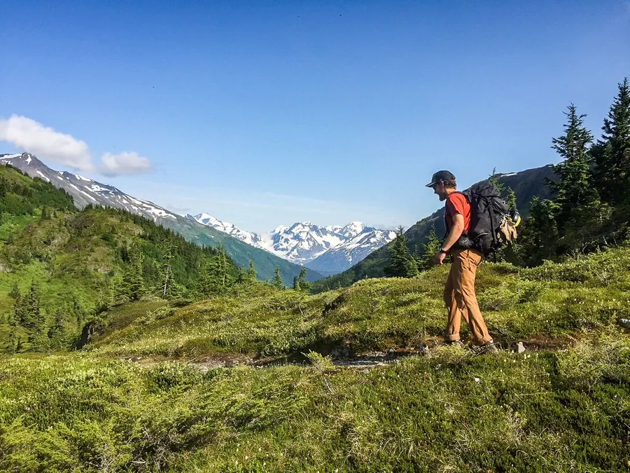 Hike or Backpack
Summer
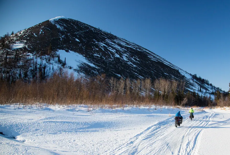 Bike
Summer and Winter
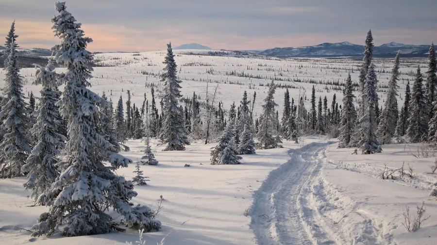 Ski or Skijor
Winter
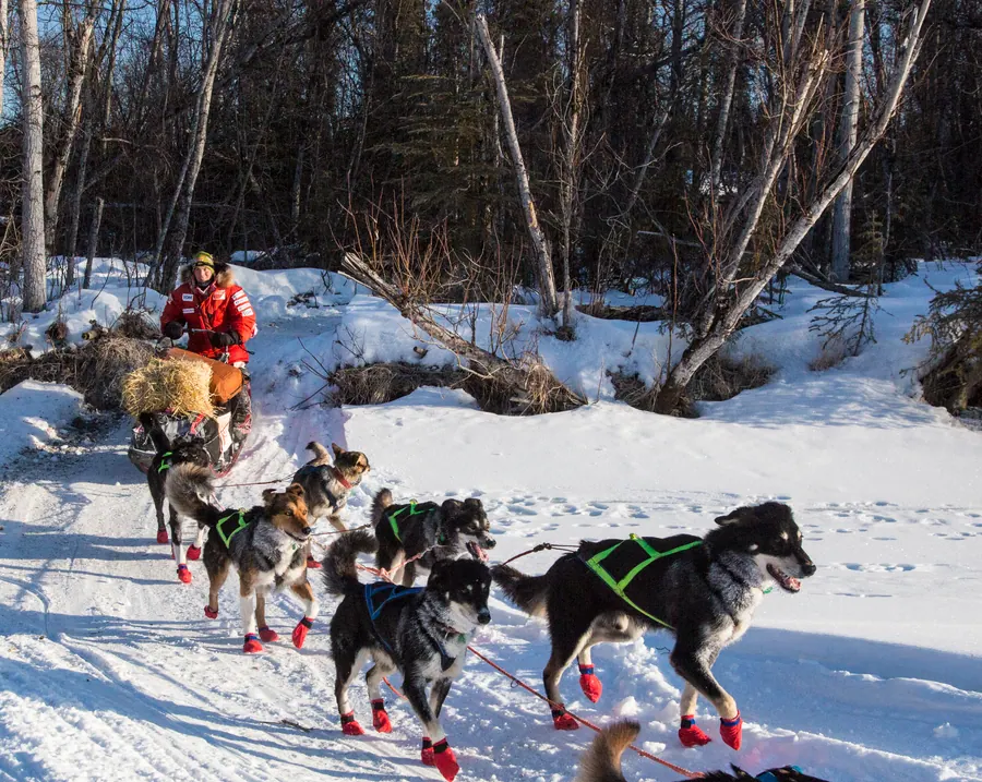 Mush a Dog Team
Winter
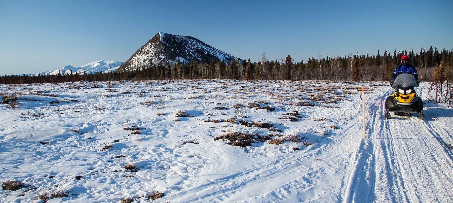 Snowmachine
Winter
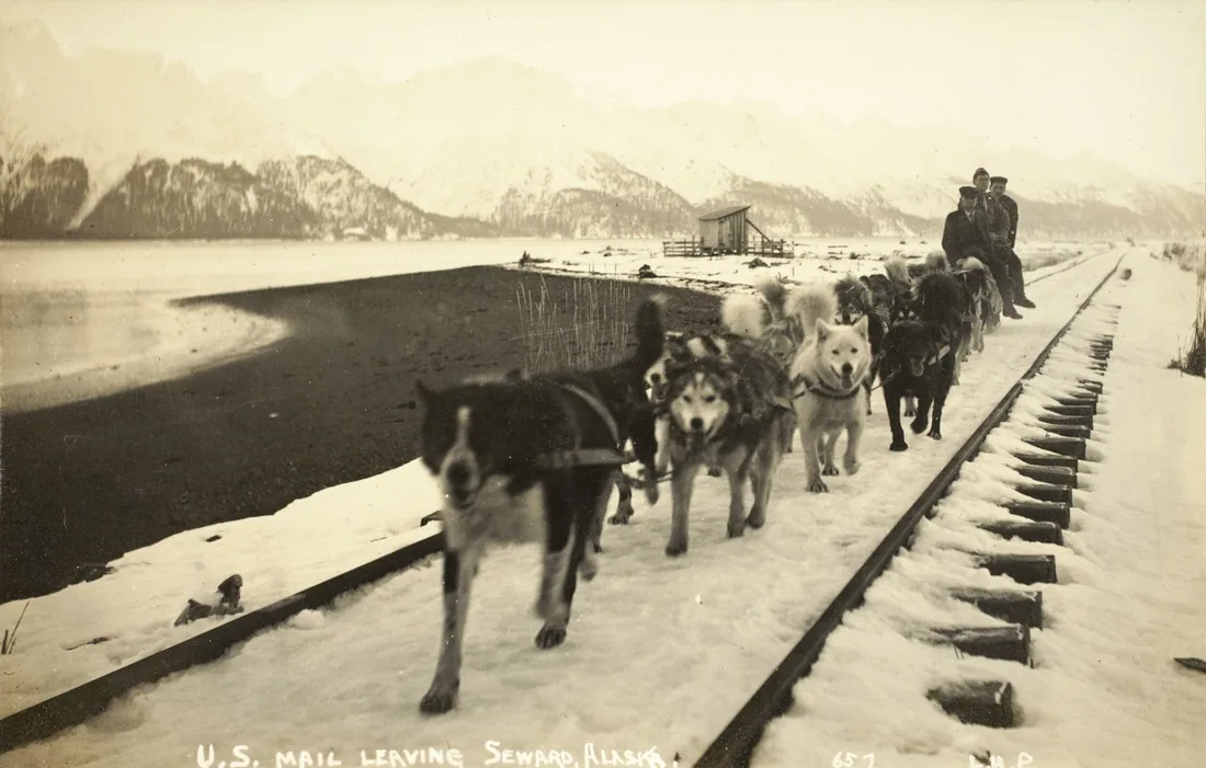 Ride the Railroad
Summer
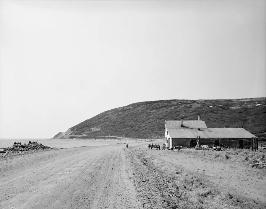 Drive
Summer
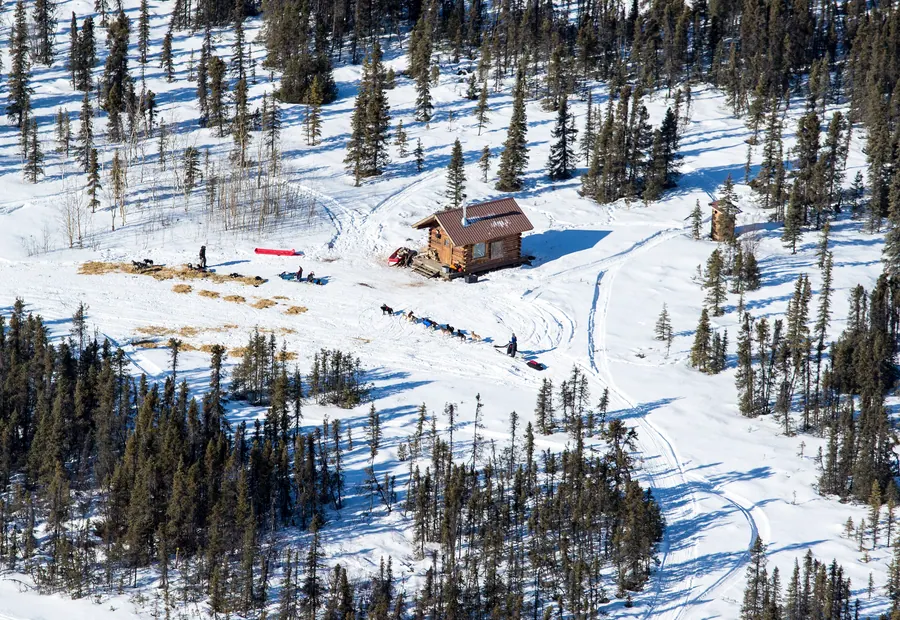 Fly In
Summer and Winter
Summer · 9 places
The trail is at its best on foot in Southcentral, where Crow Pass, Johnson Pass and the Seward waterfront are summer walks and backpacking trips.
Walking to Nome in summer is not a trip anyone recommends: north of Knik the trail crosses hundreds of miles of swamp, tussocks and permafrost bogs, which is why travelers in the gold-rush years took river steamers in summer.
Start with Seward: Walk the first mile of the trail along Resurrection Bay from Mile 0.
Summer and Winter · 6 places
Paved paths follow the trail in Seward, Girdwood and Anchorage in summer; in winter, fat bikes ride the snow, and the human-powered races run as far as McGrath and Nome.
Start with Seward: Ride the paved bike path along Resurrection Bay.
Winter · 2 places
The Iditarod is a winter trail, and skis are one of the oldest ways over it: Ship Creek to Indian is best done on skis, and on the coast skiers and skijorers travel village to village.
Start with Girdwood: Ski the winter trails around Girdwood.
Winter · 7 places
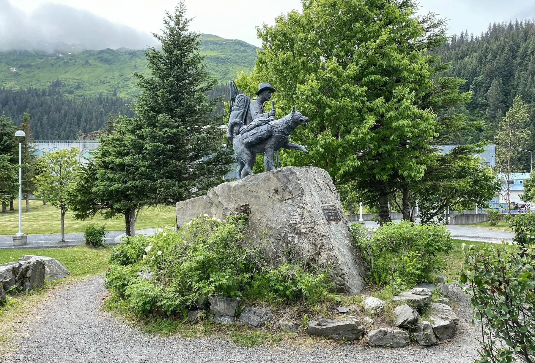
Dog teams carried the gold and the mail, and they still run the trail every winter, from the Ceremonial Start in Anchorage to the finish in Nome.
Start with Knik: See the Alaska Sled Dog Mushers Hall of Fame at the Knik Museum.
Winter · 5 places
Snowmachines carry most winter travel between the villages today, and the trail’s public shelter cabins sit along the routes they run.
Start with Skwentna: Travel the winter trail to the Skwentna Crossing shelter cabin.
Summer · 2 places
The Alaska Railroad follows the main route of the historic trail from Seward into the roadless Kenai Mountains, with whistle stops for hiking in the Chugach National Forest.
Start with Seward: Board the Alaska Railroad, which follows the main route of the historic trail north into the Kenai Mountains.
Summer · 9 places
Much of the Seward Highway follows the historic trail, and north of Anchorage the Glenn Highway and Knik-Goose Bay Road reach the old Knik crossing; at the far end, the first 35 miles of the Nome-Council Highway are the trail itself.
Start with Seward: Seward is where the Seward Highway begins; much of the road follows the historic trail toward Anchorage.
Summer and Winter · 8 places
Beyond Knik the trail runs through the Bush, where communities are reached by plane or boat; McGrath, Unalakleet and Nome have regular flights from Anchorage.
Start with Rainy Pass: Fly into the BLM Rohn shelter cabin.
Pick a way to travel, and the places along the trail that suit it stay lit.
No matter what the time of year, be prepared. Check local conditions before you venture out.
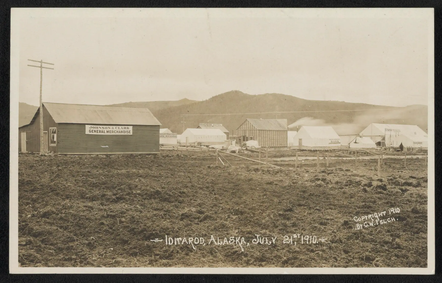
Iditarod, 1910
The Iditarod Trail, a symbol of frontier travel and once main artery of Alaska’s winter commerce, served a string of mining camps, trading posts, and other settlements founded between 1880 and 1920, during Alaska’s Gold Rush Era.
Most travelers on the Iditarod Trail did not go from trailhead to trailhead—Seward to Nome—as they did on the other trails of settlement in the American West. Instead, they mushed from the ice-free harbor of Seward to the various mining districts or used the Trail segments while traveling between mining camps and trade centers.
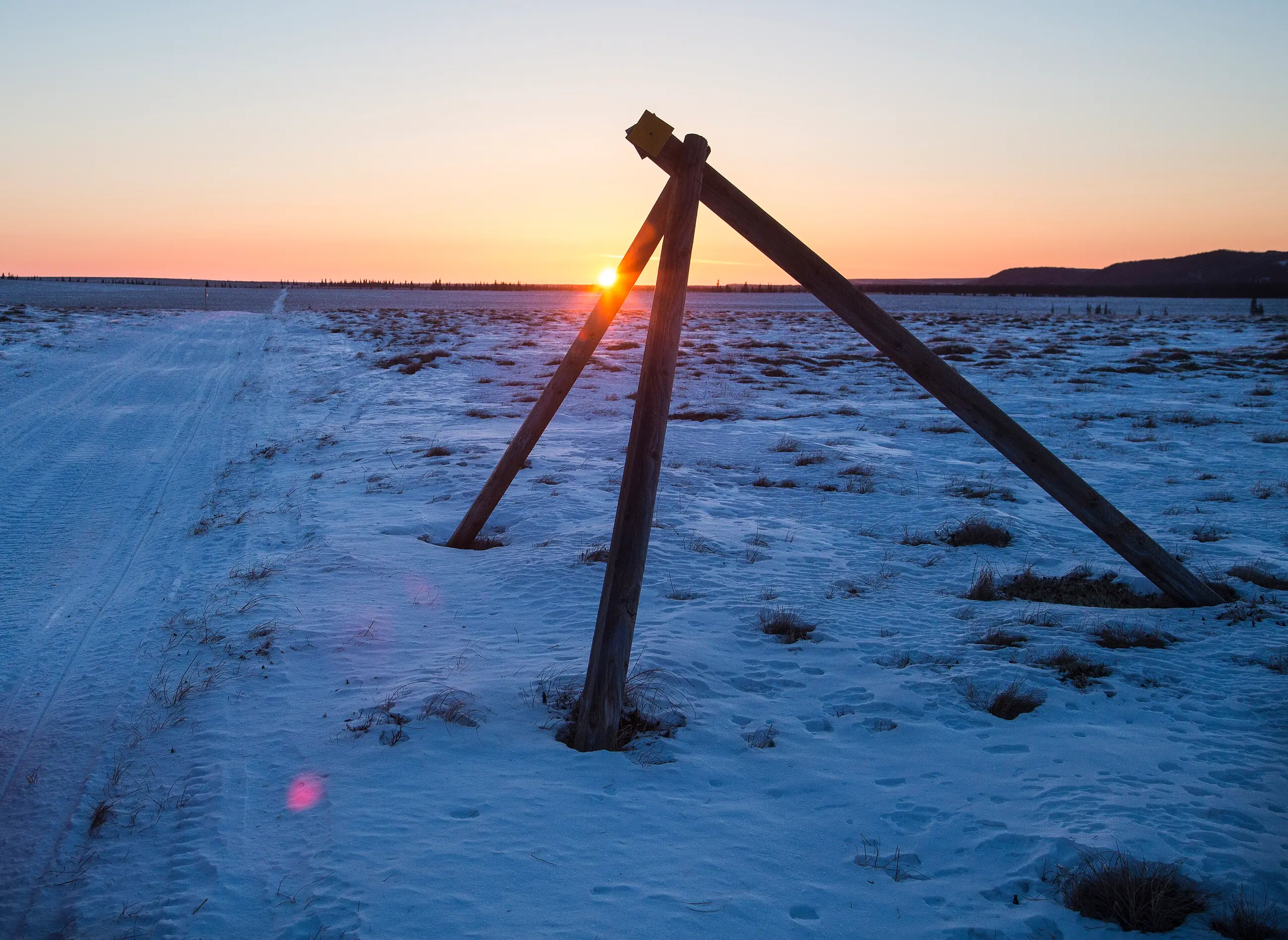
“… tripods… consisted of three sticks of timber each, two of which were eight feet long and the third ten or eleven feet long. They are so fastened together that the longest of the three sticks projects two or three feet over the others and directly above the trail.”
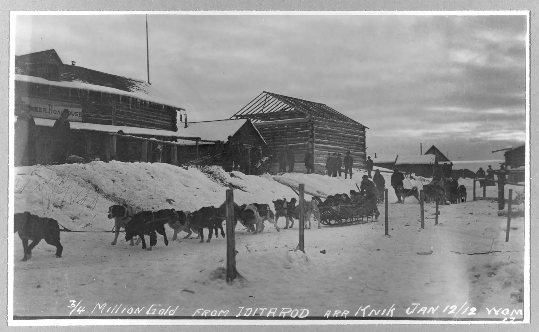
Communities in trail order
Places on connecting trails are listed beside the stop they connect to. All places, with what to see in each
Kaltag Portage · Old Woman Cabin
The Iditarod Historic Trail Alliance promotes public awareness and protection of the Iditarod National Historic Trail and its gold-rush and Alaska Native heritage.
How do we do this? By encouraging education programs and historical research to tell the story of the Trail. By assisting in the protection, improvement, maintenance and marking of the trail. And, by developing partnerships that foster stewardship commitments and support from land owners, local communities, organizations and others.
“Then, volunteers stepped up and hauled the materials to the cabin on a rainy day in mid-April. The Alliance covered equipment costs and fuel.”
New on the trail
The newest issue of The Tripod
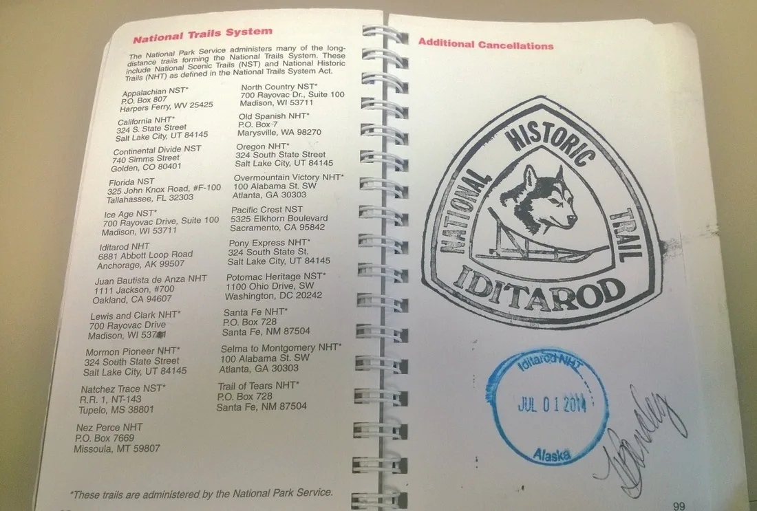
Museums, visitor centers and the Alaska Railroad carry an Iditarod National Historic Trail stamp for your Passport to Your National Parks.
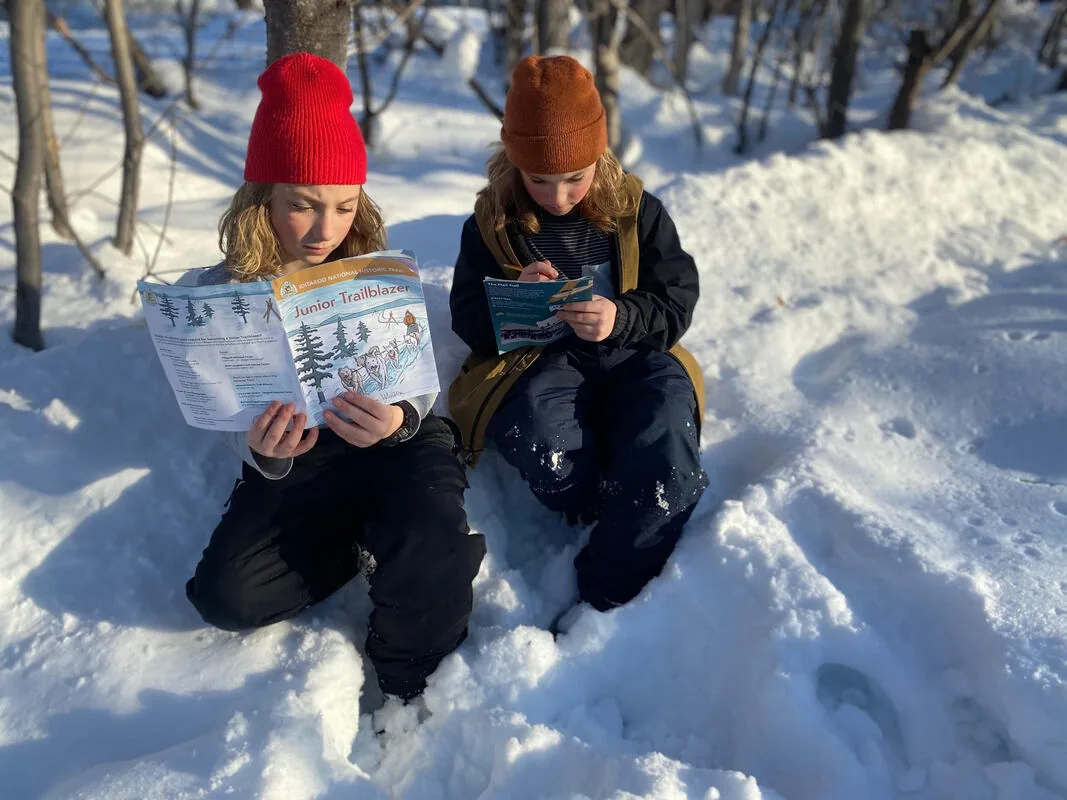
A booklet of trail activities for kids, from the Bureau of Land Management Alaska and the Chugach National Forest.
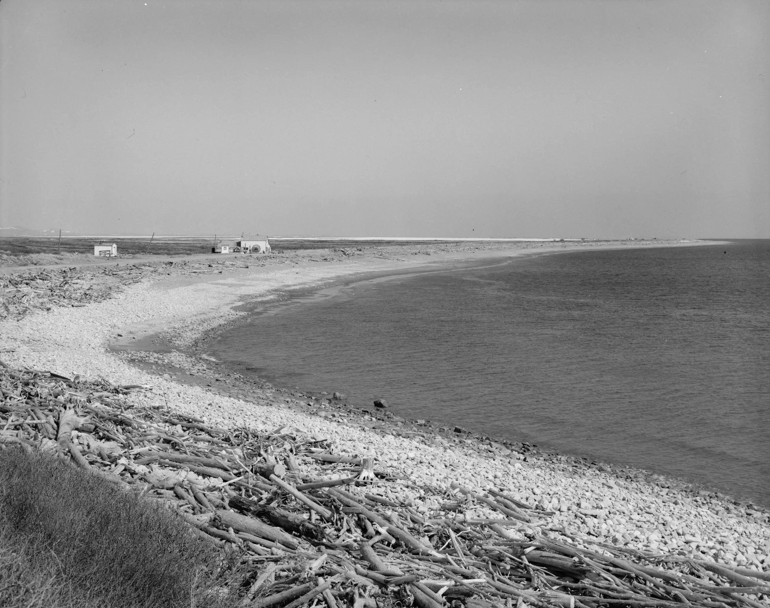
Nome · End of the trail