Multiple uses of the INHT
How Will You Travel?
The Iditarod Trail is primarily a winter trail and many sections of the Trail are barely usable in the summer. Locals rely on rivers for inter-village transportation instead.
-
Summer · 9 places
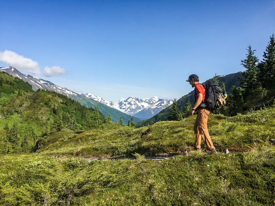
Hike or Backpack
The trail is at its best on foot in Southcentral, where Crow Pass, Johnson Pass and the Seward waterfront are summer walks and backpacking trips.
-
Summer and Winter · 6 places
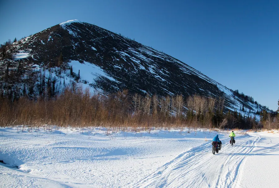
Bike
Paved paths follow the trail in Seward, Girdwood and Anchorage in summer; in winter, fat bikes ride the snow, and the human-powered races run as far as McGrath and Nome.
-
Winter · 2 places
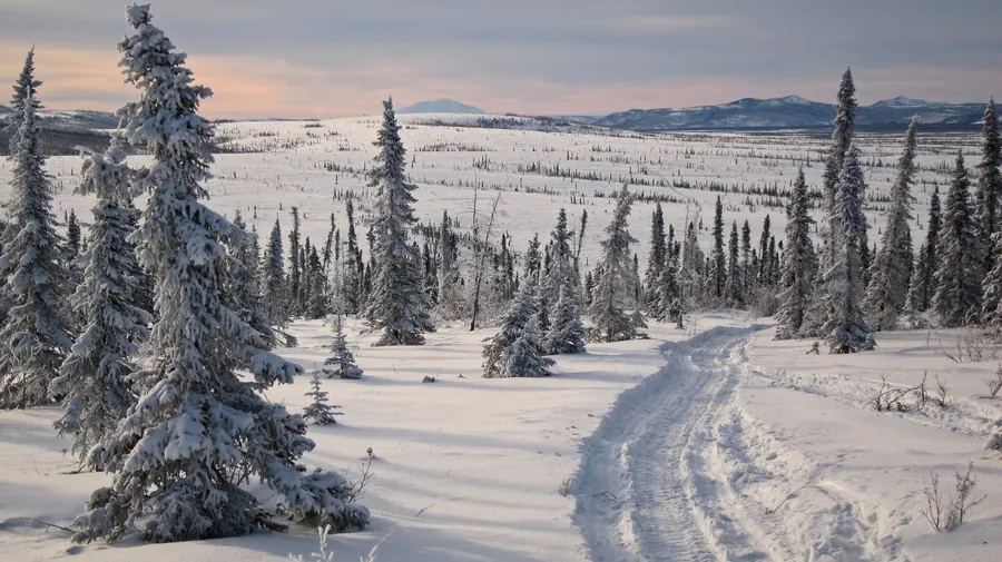
Ski or Skijor
The Iditarod is a winter trail, and skis are one of the oldest ways over it: Ship Creek to Indian is best done on skis, and on the coast skiers and skijorers travel village to village.
-
Winter · 7 places
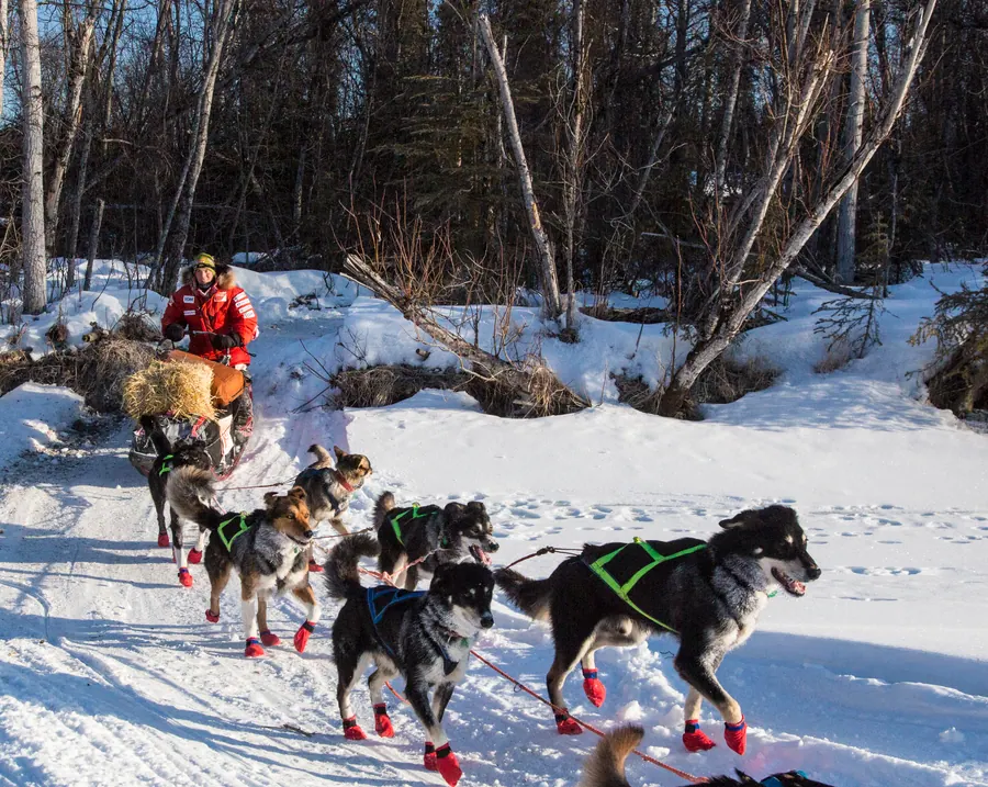
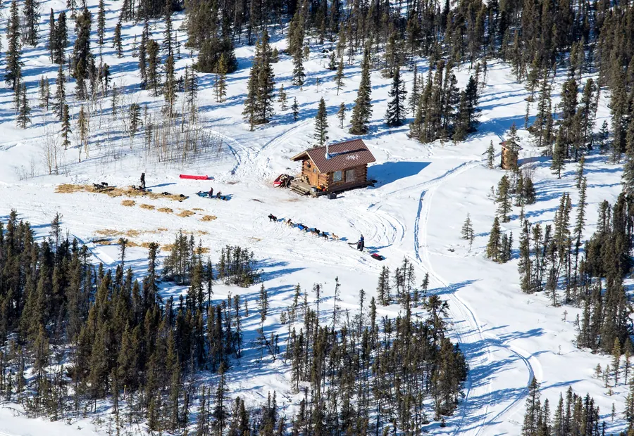
Mush a Dog Team
Dog teams carried the gold and the mail, and they still run the trail every winter, from the Ceremonial Start in Anchorage to the finish in Nome.
-
Winter · 5 places
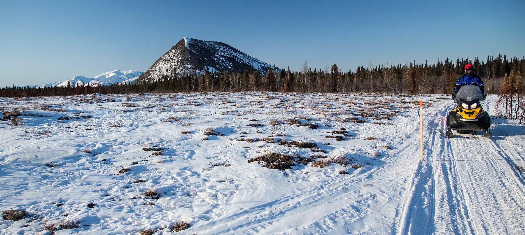
Snowmachine
Snowmachines carry most winter travel between the villages today, and the trail’s public shelter cabins sit along the routes they run.
-
Summer · 2 places
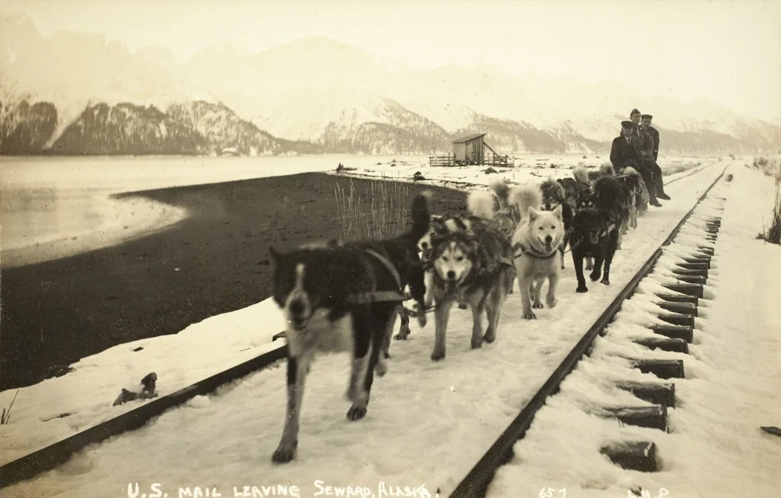
Ride the Railroad
The Alaska Railroad follows the main route of the historic trail from Seward into the roadless Kenai Mountains, with whistle stops for hiking in the Chugach National Forest.
-
Summer · 9 places
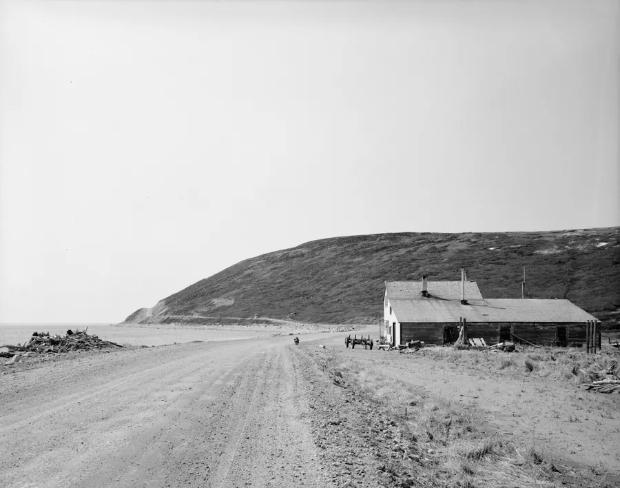
Drive
Much of the Seward Highway follows the historic trail, and north of Anchorage the Glenn Highway and Knik-Goose Bay Road reach the old Knik crossing; at the far end, the first 35 miles of the Nome-Council Highway are the trail itself.
-
Summer and Winter · 8 places
Fly In
Beyond Knik the trail runs through the Bush, where communities are reached by plane or boat; McGrath, Unalakleet and Nome have regular flights from Anchorage.
No matter what the time of year, be prepared. Check local conditions before you venture out.