Stop 13 of 17 · Interior/Rivers
Kaltag
A Koyukon Athabascan village on the Yukon River at the head of the Kaltag Portage, the old trade route over the mountains to Unalakleet.
What to See
- The Kaltag Portage, a Native trade route the Russians began using in 1843
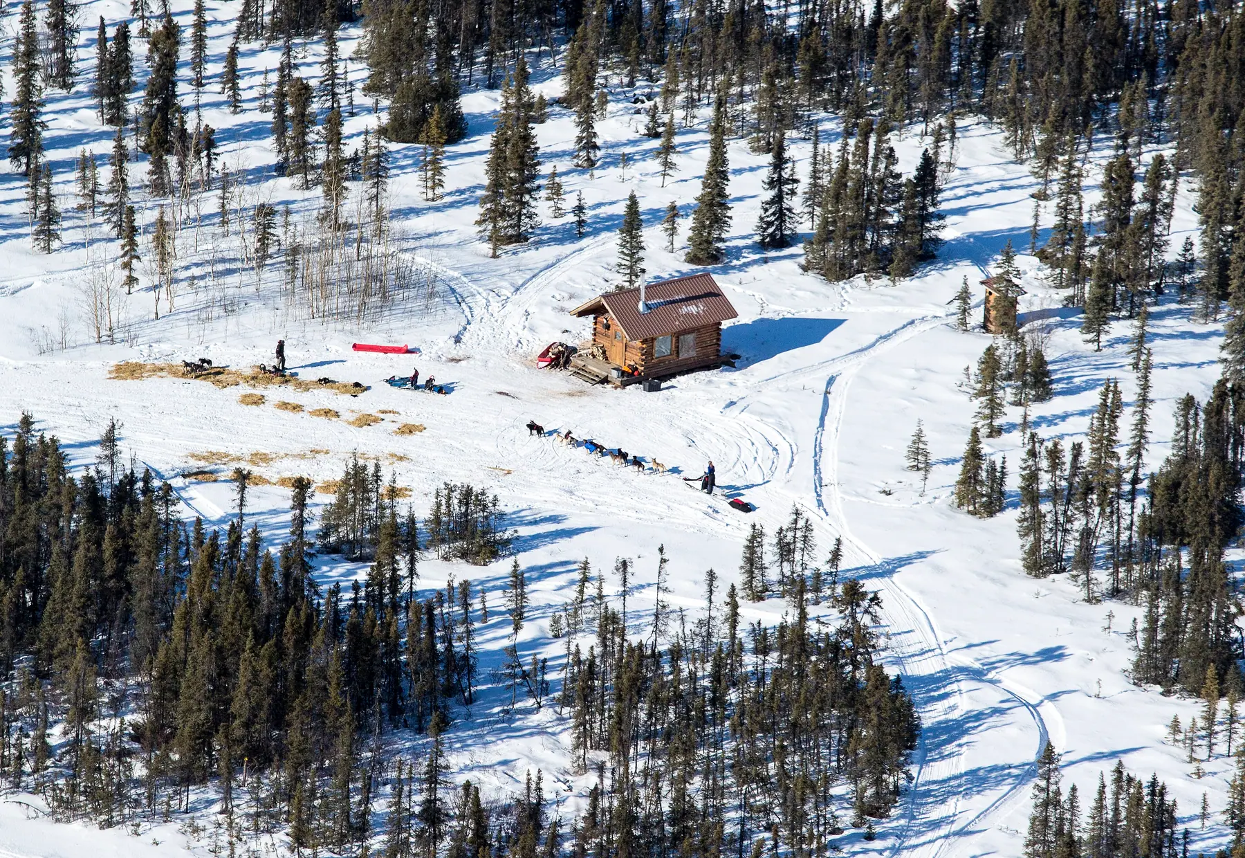
- The Old Woman shelter cabin on the portage
Ways to Travel Here
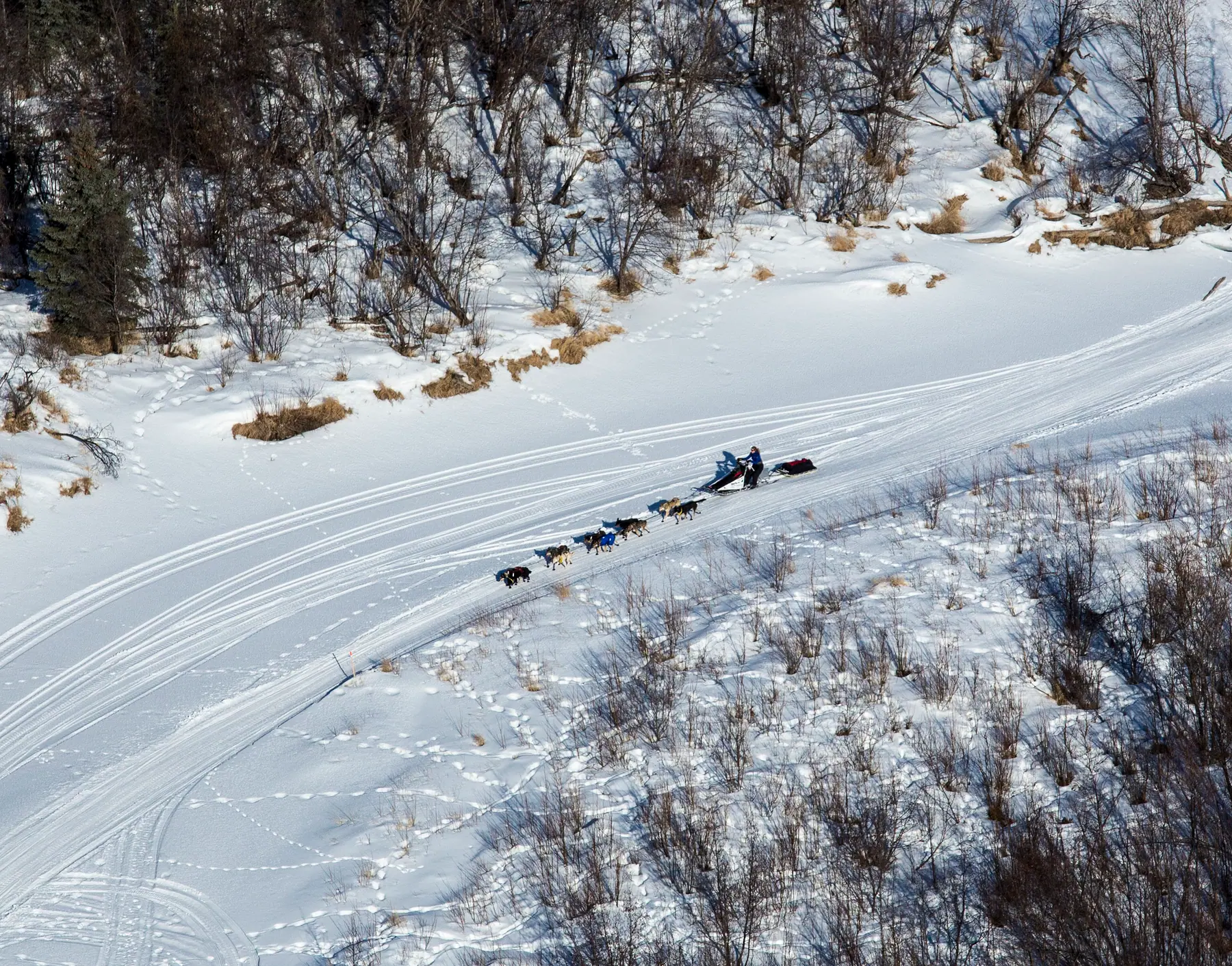
- Mush a Dog TeamTeams cross the Kaltag Portage to the coast.
- SnowmachineTravel the portage by snowmachine and stop at the Old Woman shelter cabin.
- Fly InFly in to Kaltag.
No matter what the time of year, be prepared. Check local conditions before you venture out.
History of Kaltag
Kaltag is located in Koyukon Athabascan territory, and was used as a cemetery for surrounding villages. It was located on an old portage trail which led east through the mountains to Unalakleet. The Athabascans had spring, summer, fall, and winter camps, and moved as the wild game migrated. There were 12 summer fish camps located on the Yukon River between the Koyukuk River and the Nowitna River. The village was named by Russians for the Yukon Indian named Kaltaga. A smallpox epidemic, the first of several major epidemics, struck the Koyukon in 1839. A military telegraph line was constructed along the north side of the Yukon around 1867. Missionary activity was intense along the Yukon, and a Roman Catholic Mission and school opened upriver in Nulato in 1887. Steamboats on the Yukon, which supplied gold prospectors, peaked in 1900 with 46 in operation. during 1900, food shortages and a measles epidemic struck down one-third of the Native population. Kaltag was established shortly thereafter, when survivors from three nearby seasonal villages moved to the area to regroup. A post office opened in 1903, but closed in 1904. Gold seekers left the mid-Yukon after 1906, but other mining activity, such as the Galena lead mines, began operating in 1919. As a downriver village on a major transportation route, Kaltag witnessed rapid economic change. The post office reopened in 1909 and operated until 1920. Kaltag's first school opened in 1925. The post office reopened again in 1933. The old cemetery, which was located on Front Street, caved into the River around 1937. A watering point, airport and clinic were constructed during the 1960s.
Interior/Rivers, Skwentna to Kaltag
- SkwentnaRiver crossing
The historic Alaska Road Commission shelter cabin at the Skwentna Crossing is one of the public shelter cabins between Knik and Kaltag, open in winter without a reservation.
- Rainy PassAlaska Range crossing
The trail’s way over the Alaska Range, between Puntilla Lake and the BLM’s Rohn shelter cabin.
- McGrathInterior hub
The largest community on the trail between the Alaska Range and Norton Sound, with regular flights from Anchorage, and the gateway to the ghost town of Iditarod.
- TakotnaRiver town
Founded at the farthest point a supply sternwheeler could reach on the Takotna River, and joined to the Ophir goldfields by old mining roads.
- IditarodGhost town
The boomtown that gave the trail its name: 2,000 people by August 1910 a few miles from the Christmas Day 1908 gold strike, abandoned now, on state public land.
- KaltagYukon River village
A Koyukon Athabascan village on the Yukon River at the head of the Kaltag Portage, the old trade route over the mountains to Unalakleet.
- GalenaConnecting trail · Yukon River town
A Yukon River town on the trail’s northern routes, where the community sold the Alliance’s trail products during the 2016 race to raise money for its Winter Carnival.
- Tolovana RoadhouseConnecting trail · Serum Run roadhouse
A roadhouse on the Fairbanks-to-Nome mail trail and the first transfer point of the 1925 Serum Run to Nome.