Stop 12 of 17 · Interior/Rivers
Iditarod
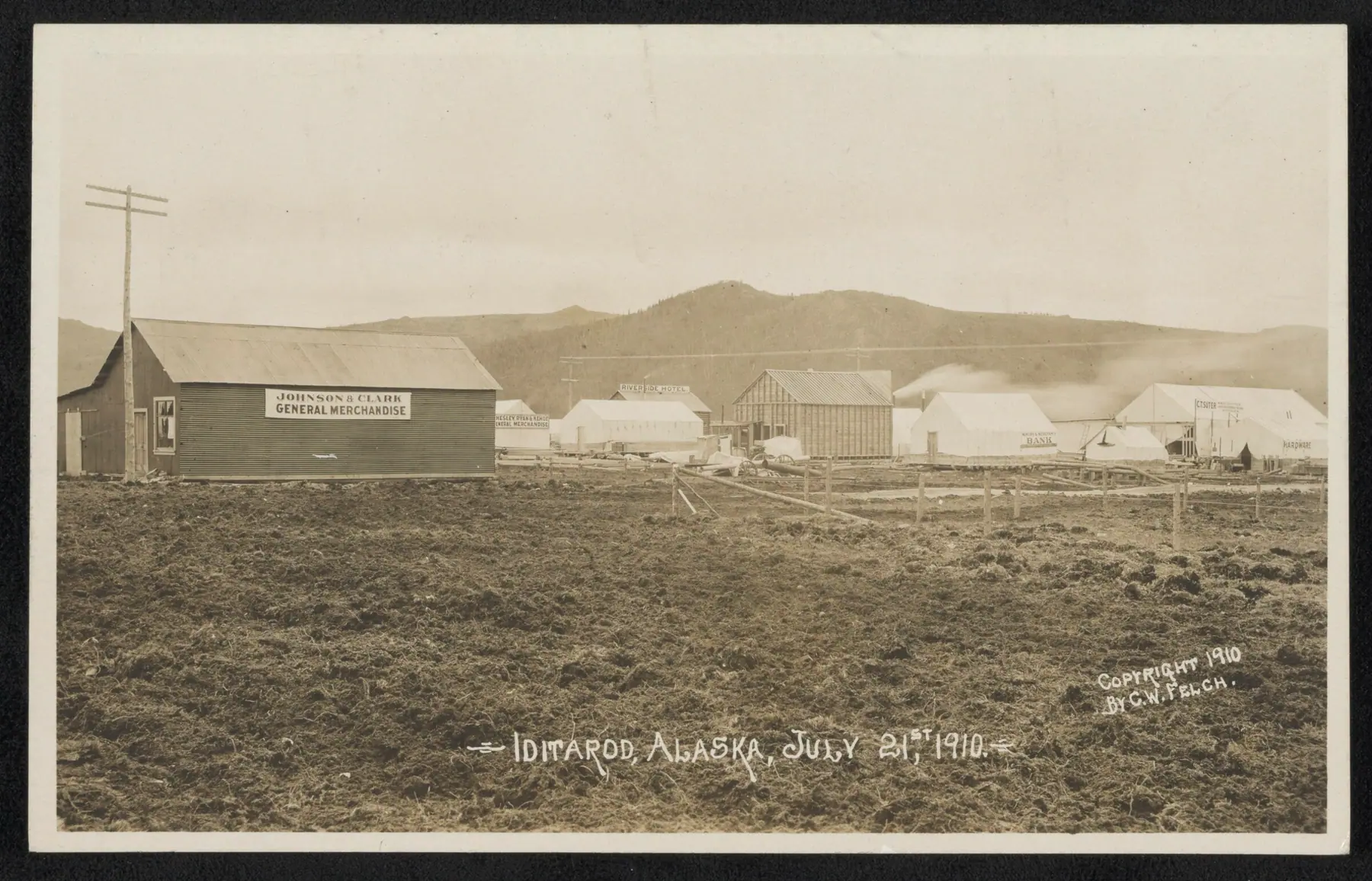
The boomtown that gave the trail its name: 2,000 people by August 1910 a few miles from the Christmas Day 1908 gold strike, abandoned now, on state public land.
What to See
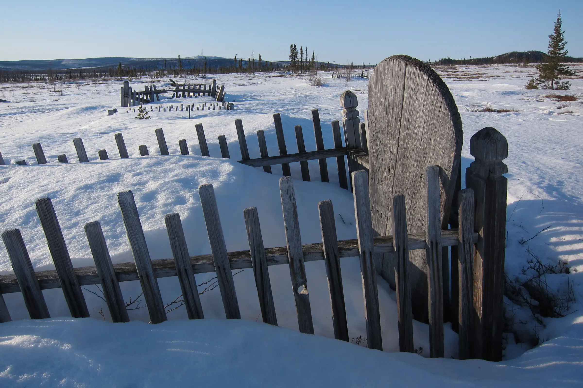
- The remains of the town, reached year round by floatplane or ski-plane charter from McGrath; removing anything from the site is prohibited by law
Ways to Travel Here
- Fly InCharter a floatplane or ski-plane from McGrath.
No matter what the time of year, be prepared. Check local conditions before you venture out.
Interior/Rivers, Skwentna to Kaltag
- SkwentnaRiver crossing
The historic Alaska Road Commission shelter cabin at the Skwentna Crossing is one of the public shelter cabins between Knik and Kaltag, open in winter without a reservation.
- Rainy PassAlaska Range crossing
The trail’s way over the Alaska Range, between Puntilla Lake and the BLM’s Rohn shelter cabin.
- McGrathInterior hub
The largest community on the trail between the Alaska Range and Norton Sound, with regular flights from Anchorage, and the gateway to the ghost town of Iditarod.
- TakotnaRiver town
Founded at the farthest point a supply sternwheeler could reach on the Takotna River, and joined to the Ophir goldfields by old mining roads.
- IditarodGhost town
The boomtown that gave the trail its name: 2,000 people by August 1910 a few miles from the Christmas Day 1908 gold strike, abandoned now, on state public land.
- KaltagYukon River village
A Koyukon Athabascan village on the Yukon River at the head of the Kaltag Portage, the old trade route over the mountains to Unalakleet.
- GalenaConnecting trail · Yukon River town
A Yukon River town on the trail’s northern routes, where the community sold the Alliance’s trail products during the 2016 race to raise money for its Winter Carnival.
- Tolovana RoadhouseConnecting trail · Serum Run roadhouse
A roadhouse on the Fairbanks-to-Nome mail trail and the first transfer point of the 1925 Serum Run to Nome.