Stop 9 of 17 · Interior/Rivers
Rainy Pass
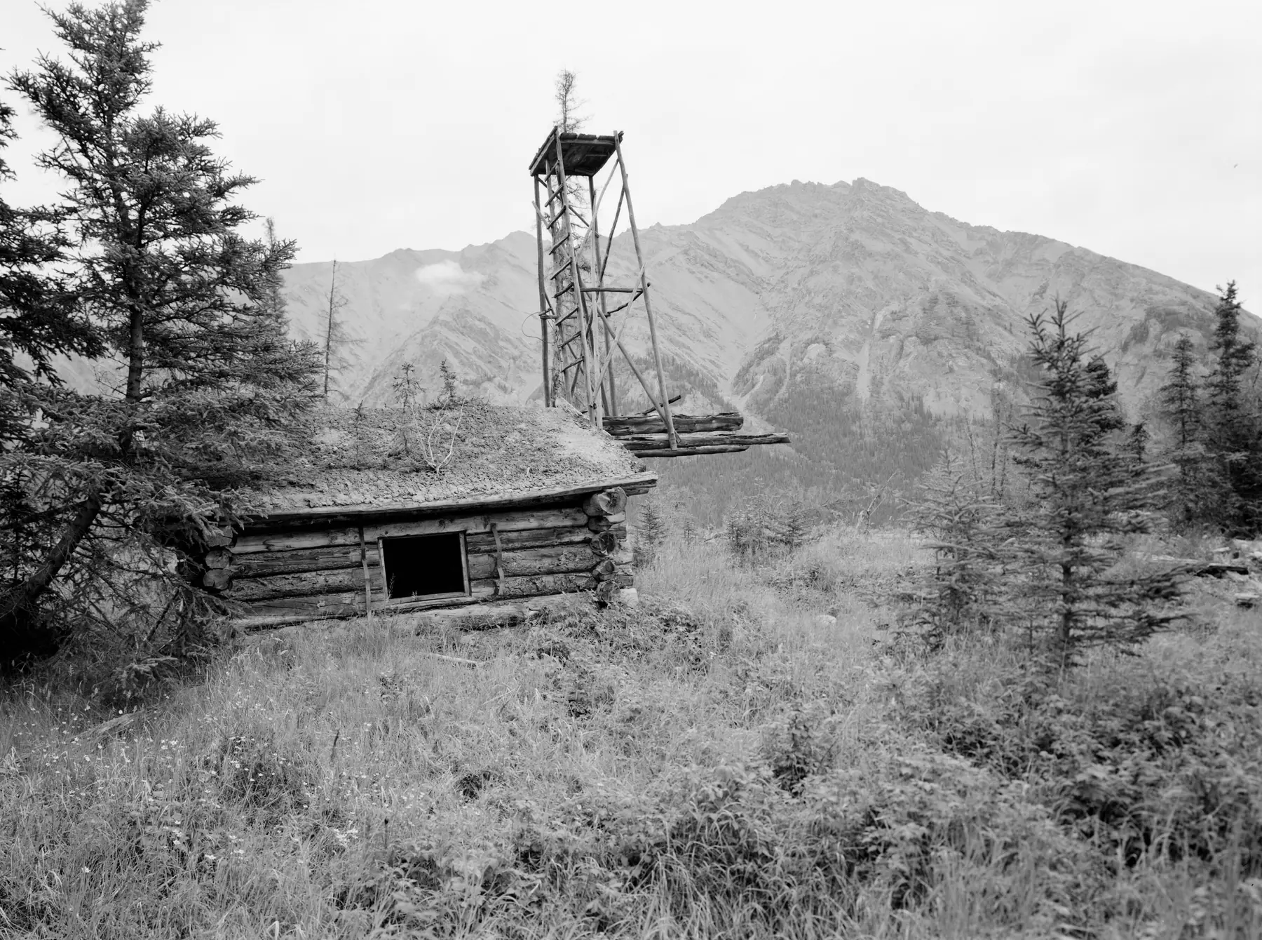
The trail’s way over the Alaska Range, between Puntilla Lake and the BLM’s Rohn shelter cabin.
What to See
- A 30-mile backpacking route over Rainy Pass between the Rohn shelter cabin and a floatplane pickup near Puntilla Lake
- The Rohn shelter cabin, kept by the Bureau of Land Management
Ways to Travel Here
- Hike or BackpackFly into the Rohn shelter cabin and backpack 30 miles over Rainy Pass to a floatplane pickup near Puntilla Lake.
- Fly InFly into the BLM Rohn shelter cabin.
No matter what the time of year, be prepared. Check local conditions before you venture out.
History of Rainy Pass
Susitna-Rainy Pass Trail From the townsite of Susitna on the Susitna River, this 128-mile-long route heads northwest, following the west side of the Yentna River on the north side of Beluga Mountain, then crossing the Skwentna River to follow its northern side. At the mouth of Happy River, the route turns north, following the river¹s eastern limit to Rainy Pass. The route is shown on USGS Tyonek C-2, C-3, D-3, D-4, D-5, D-6 and D-7, and on Talkeetna A-5 and A-6 maps. The DOT Trails Inventory locates it on map 70 (Tyonek quadrangle) as trail 1, and on map 81 (Talkeetna quadrangle) as trail 20. In ARC documents, it is referenced as route 20B. A portion of the Iditarod Trail, the Susitna-Rainy Pass stretch was a winter trail suitable for dog teams. After it was abandoned as a mail trail, the ARC continued to maintain it because it provided access to potential mines. Historical documentation includes ARC annual reports, a Territorial Road Commission report, USGS bulletins, postal service correspondence, newspaper accounts, and miscellaneous maps.
Interior/Rivers, Skwentna to Kaltag
- SkwentnaRiver crossing
The historic Alaska Road Commission shelter cabin at the Skwentna Crossing is one of the public shelter cabins between Knik and Kaltag, open in winter without a reservation.
- Rainy PassAlaska Range crossing
The trail’s way over the Alaska Range, between Puntilla Lake and the BLM’s Rohn shelter cabin.
- McGrathInterior hub
The largest community on the trail between the Alaska Range and Norton Sound, with regular flights from Anchorage, and the gateway to the ghost town of Iditarod.
- TakotnaRiver town
Founded at the farthest point a supply sternwheeler could reach on the Takotna River, and joined to the Ophir goldfields by old mining roads.
- IditarodGhost town
The boomtown that gave the trail its name: 2,000 people by August 1910 a few miles from the Christmas Day 1908 gold strike, abandoned now, on state public land.
- KaltagYukon River village
A Koyukon Athabascan village on the Yukon River at the head of the Kaltag Portage, the old trade route over the mountains to Unalakleet.
- GalenaConnecting trail · Yukon River town
A Yukon River town on the trail’s northern routes, where the community sold the Alliance’s trail products during the 2016 race to raise money for its Winter Carnival.
- Tolovana RoadhouseConnecting trail · Serum Run roadhouse
A roadhouse on the Fairbanks-to-Nome mail trail and the first transfer point of the 1925 Serum Run to Nome.