Threshold 1 · 6 ft (1,414 cfs)
3.97 ft above the current reading
Low flow crossings across Coyote Creek will be inundated.
Valley Water, threshold 1 description for Coyote Creek at Madrone (USGS)
 Surface Water Data Portal
Readings as of July 28, 2026 at 4:53 PM PT · not current conditions
Reading 2.03 ft and 12 cfs. That is 3.97 feet below the first flood threshold.
2.03 ft
Captured July 28, 2026 at 4:30 PM PT
These descriptions are Valley Water's own, quoted exactly as published for this gauge.
3.97 ft above the current reading
Low flow crossings across Coyote Creek will be inundated.
Valley Water, threshold 1 description for Coyote Creek at Madrone (USGS)
4.97 ft above the current reading
Flooding to low lying businesses northwest of Berryessa Road and Coyote Creek. Horse Ranch opposite the Rock Springs Neighborhood at risk of flooding. Watson Park and Coyote Creek Trail at Selma Park begins to flood. Homes in the creek along Arroyo Way and 17th Street northwest of East William Street begin to flood. Flooding to businesses northwest of Berryessa Road and Coyote Creek.
Valley Water, threshold 2 description for Coyote Creek at Madrone (USGS)
6.97 ft above the current reading
Apartments that back onto Coyote Creek at the intersection of Keyes Street and South 12th Street begin to flood lower level garages. Watson and Selma Parks flooding. Homes along Arroyo Way and 17th Streets, and homes northwest of William Street and the creek flood. Flooding beings at Willams Street Park, Happy Hollow Zoo and Kelley Park. Berryessa Road is at risk of localized street flooding, with business northwest of Berryessa Road and Coyote Creek flooding. If creek waters rise further: Sycamore Avenue accessing the Boys Ranch Detention Facility at risk of inundation. Low areas in Happy Hollow Zoo affecting structures and animals flood. Olinder school begins to flood. Watson, Selma, Kelley, and William Street Parks are flooding. Low areas of Roosevelt Park are flooded. Woodborough Drive starts to become innundated. A few homes located in the RV storage lot south of Maybury Drive may flood. Businesses northwest and southwest of Berryessa Road and Coyote Creek flood.
Valley Water, threshold 3 description for Coyote Creek at Madrone (USGS)
8.97 ft above the current reading
Sycamore Avenue accessing the Boys Ranch Detention Facility flooded. Selma Park inundated and overflows into Olinder Neighborhood, with minor flooding at Olinder School. William Street Park is inundated. Watson Park inundated and begins to flood Monfernio Drive. RV Storage lot north of US-101 flooded. Flooding in the offices and industrial areas north and south of Berryessa Road west of the creek. The floodwall on the south side of Golden Wheel and South Bay Mobile Home Parks begin to overtop. If Creek rises further: Adjacent Malaguerra Avenue intersections inundated. Flooding to Kelley Park and Happy Hollow Zoo. Rock Springs neighborhood levee may be overtopped. Apartments that back onto Coyote Creek at the intersection of Keyes Street and South 12th Street may flood at lower levels.
Valley Water, threshold 4 description for Coyote Creek at Madrone (USGS)
Streets and landmarks named in the threshold descriptions above.
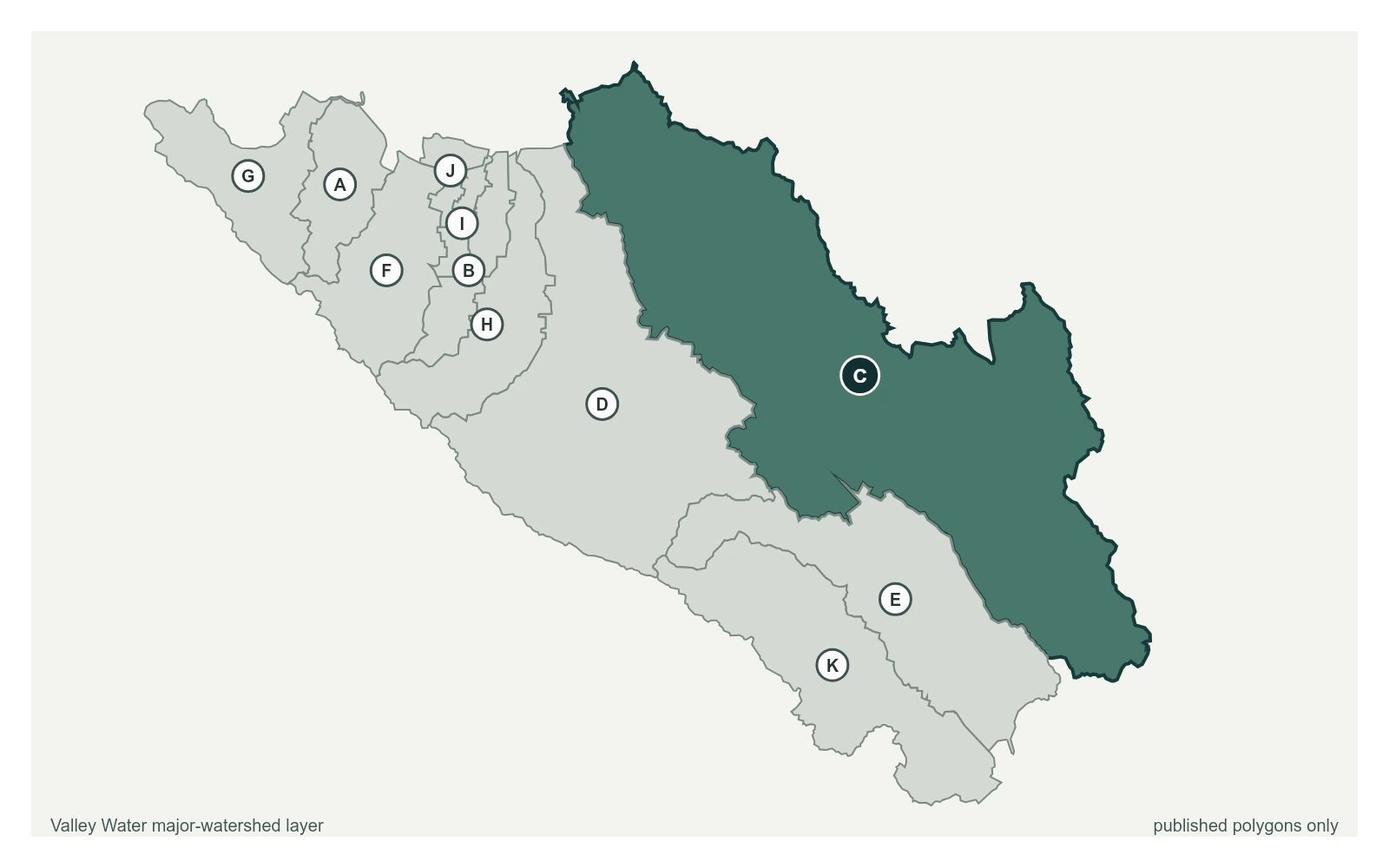
Where this gauge sits on Coyote Creek.
Coyote Creek above Coyote Reservoir (USGS)
3.29 ft · 0 cfs · no published thresholdCoyote Creek below Coyote Reservoir (USGS)
4.60 ft · 6.1 cfs · no published thresholdCoyote Creek below Anderson Reservoir
3.73 ft · 3.87 cfs · no published thresholdCoyote Creek at Madrone (USGS)
2.03 ft · 12 cfs · 3.97 ft below threshold 1Coyote Creek above Metcalf Road
5.91 ft · 0.6 cfs · no published thresholdCoyote Creek below Coyote Perc Pond
0.00 ft · 0 cfs · no published thresholdCaptures outflow from both the spillway and outlet of Anderson Reservoir. SCVWD transferred operations to USGS in February of 2022. Data before this point is available upon request from SCVWD.
Valley Water, sensor notes for Coyote Creek at Madrone (USGS)