Threshold 1 · 14.5 ft (2,370 cfs)
9.51 ft above the current reading
Watch.
Valley Water, threshold 1 description for Coyote Creek at CA-237 (USGS)
 Surface Water Data Portal
Readings as of July 28, 2026 at 4:53 PM PT · not current conditions
Reading 4.99 ft and 9.53 cfs. That is 9.51 feet below the first flood threshold.
4.99 ft
Captured July 28, 2026 at 4:00 PM PT
These descriptions are Valley Water's own, quoted exactly as published for this gauge.
9.51 ft above the current reading
Watch.
Valley Water, threshold 1 description for Coyote Creek at CA-237 (USGS)
10.51 ft above the current reading
Watson Park begins to flood.
Valley Water, threshold 2 description for Coyote Creek at CA-237 (USGS)
13.01 ft above the current reading
Watson Park inundated. Banks are overtopped at Charcot Ave with flooding along Paragon Drive. Higher flows may result in overland flows northwest of Watson Park and northeast of Charcot Ave toward Montague Expressway.
Valley Water, threshold 3 description for Coyote Creek at CA-237 (USGS)
Streets and landmarks named in the threshold descriptions above.
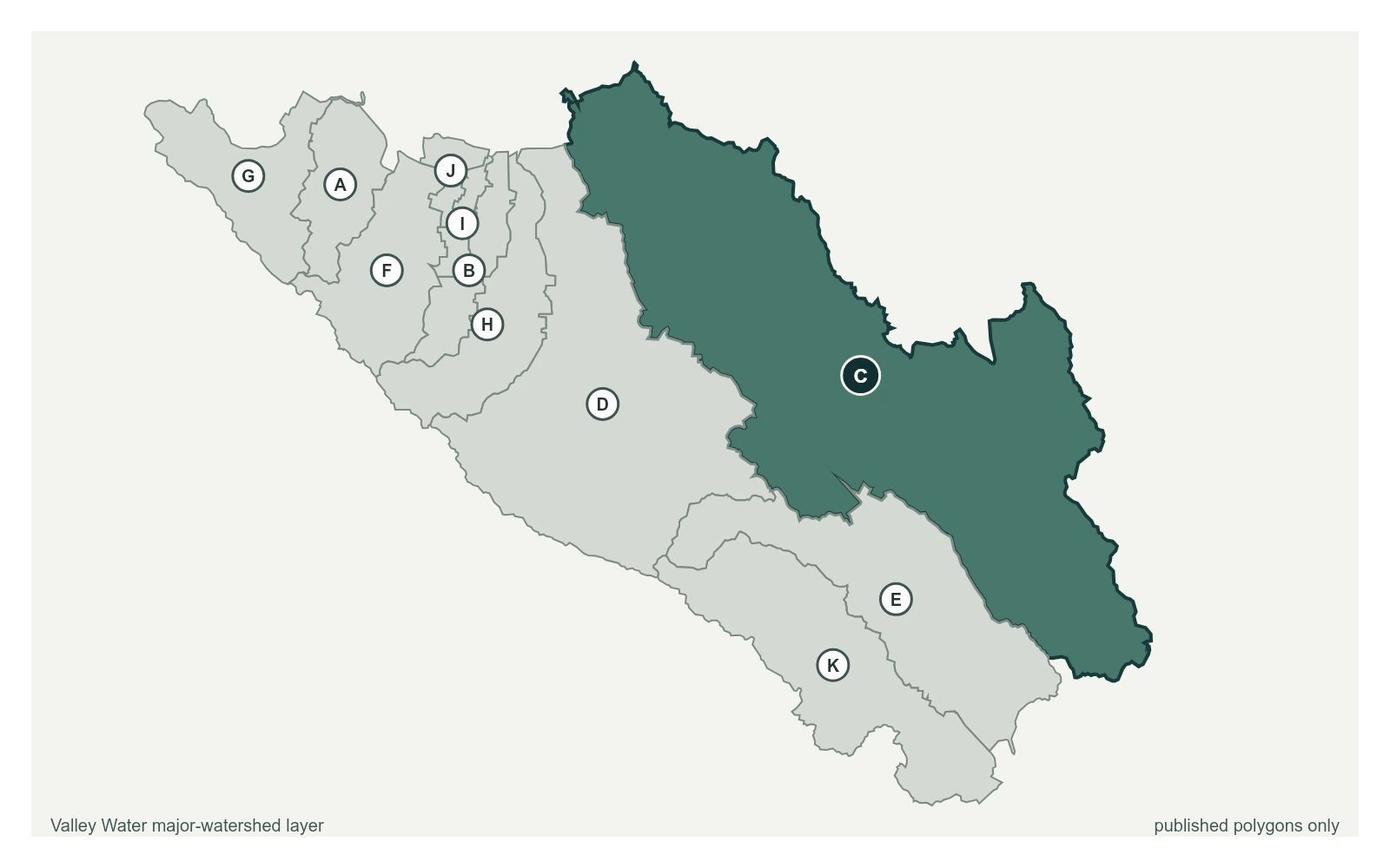
Where this gauge sits on Coyote Creek.
Coyote Creek above Coyote Reservoir (USGS)
3.29 ft · 0 cfs · no published thresholdCoyote Creek below Coyote Reservoir (USGS)
4.60 ft · 6.1 cfs · no published thresholdCoyote Creek below Anderson Reservoir
3.73 ft · 3.87 cfs · no published thresholdCoyote Creek at Madrone (USGS)
2.03 ft · 12 cfs · 3.97 ft below threshold 1Coyote Creek above Metcalf Road
5.91 ft · 0.6 cfs · no published thresholdCoyote Creek below Coyote Perc Pond
0.00 ft · 0 cfs · no published thresholdSensor is operated by USGS
Valley Water, sensor notes for Coyote Creek at CA-237 (USGS)