Threshold 1 · 8 ft (1,475 cfs)
6.89 ft above the current reading
Low flow crossings across Coyote Creek will be inundated.
Valley Water, threshold 1 description for Coyote Creek at Edenvale
 Surface Water Data Portal
Readings as of July 28, 2026 at 4:53 PM PT · not current conditions
Reading 1.11 ft and 0 cfs. That is 6.89 feet below the first flood threshold.
1.11 ft
Captured July 28, 2026 at 4:30 PM PT
These descriptions are Valley Water's own, quoted exactly as published for this gauge.
6.89 ft above the current reading
Low flow crossings across Coyote Creek will be inundated.
Valley Water, threshold 1 description for Coyote Creek at Edenvale
11.59 ft above the current reading
Selma Park inundated and overflows into Olinder Neighborhood, with minor flooding at Olinder School. William Street Park is inundated. Watson Park inundated and begins to flood Monferino Drive. If creek rises further: flooding to Kelley Park and Happy Hollow Zoo and risk of overtopping at Charcot Ave. Rock Springs levee may be overtopped. Apartments that back onto Coyote Creek at the intersection of Keyes Street and S 12th Street may flood at lower levels.
Valley Water, threshold 3 description for Coyote Creek at Edenvale
Streets and landmarks named in the threshold descriptions above.
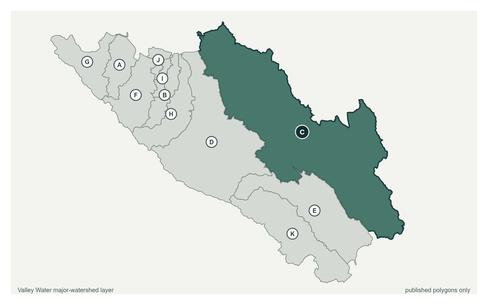
Where this gauge sits on Coyote Creek.
Coyote Creek above Coyote Reservoir (USGS)
3.29 ft · 0 cfs · no published thresholdCoyote Creek below Coyote Reservoir (USGS)
4.60 ft · 6.1 cfs · no published thresholdCoyote Creek below Anderson Reservoir
3.73 ft · 3.87 cfs · no published thresholdCoyote Creek at Madrone (USGS)
2.03 ft · 12 cfs · 3.97 ft below threshold 1Coyote Creek above Metcalf Road
5.91 ft · 0.6 cfs · no published thresholdCoyote Creek below Coyote Perc Pond
0.00 ft · 0 cfs · no published thresholdPrior to the 02/21/17 storm, the low to medium flow control was a concrete broad-crested trapezoidal weir; high flow is the heavily vegetated channel. During the 02/21/17 storm, the channel filled in with sediment, resulting in the low to medium flow control being a gravel bar 75 feet below the gage. As the year progressed, the gravel bar control became increasingly vegetated. Record is poor due to an altered control, channel vegetation, and poor measurement sections.
Valley Water, sensor notes for Coyote Creek at Edenvale