New website by Stoa. Not the official Valley Water website.

Streets and landmarks

Selma Park

Named in 5 flood threshold descriptions published by Valley Water.

The Gauge Relationship

Every quotation below is Valley Water's own text, unedited. The captured reading and exact distance to the first threshold that names this place come before the map, so the resident answer is not hidden behind geography.

Coyote Creek at Edenvale

Coyote watershed · captured reading 1.11 ft · first named at threshold 3, 12.7 ft

At the captured reading, this creek is 11.59 feet below the level where Selma Park is named.

Selma Park inundated and overflows into Olinder Neighborhood, with minor flooding at Olinder School.

Valley Water, threshold 3 description for Coyote Creek at Edenvale

Coyote Creek at Madrone (USGS)

Coyote watershed · captured reading 2.03 ft · first named at threshold 2, 7 ft

At the captured reading, this creek is 4.97 feet below the level where Selma Park is named.

Watson Park and Coyote Creek Trail at Selma Park begins to flood.

Valley Water, threshold 2 description for Coyote Creek at Madrone (USGS)

Selma Park inundated and overflows into Olinder Neighborhood, with minor flooding at Olinder School.

Valley Water, threshold 4 description for Coyote Creek at Madrone (USGS)

Fisher Creek at Laguna Ave (Not Real-Time)

Coyote watershed · captured reading 0.29 ft

The captured reading cannot be compared to this threshold.

Selma Park and Willam Street Park flooding.

Valley Water, threshold 3 description for Fisher Creek at Laguna Ave (Not Real-Time)

Selma Park inundated and overflows into Olinder Neighborhood, with minor flooding at Olinder School.

Valley Water, threshold 4 description for Fisher Creek at Laguna Ave (Not Real-Time)

Gauge Location

3 stream gauges whose Valley Water threshold descriptions name Selma Park.
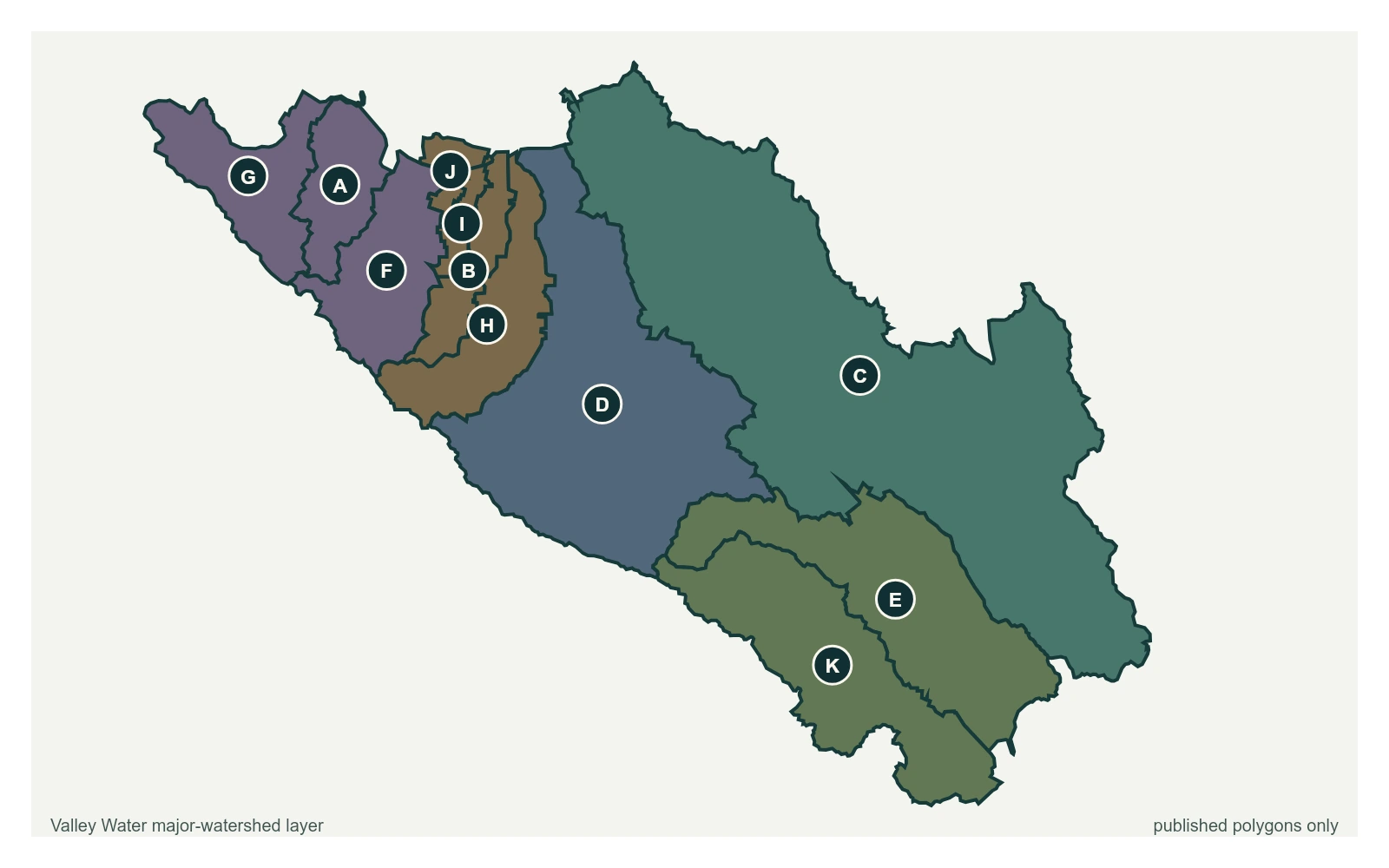
The point marks the gauge locations whose published threshold text names Selma Park; it does not claim a coordinate for the street or landmark. All eleven polygons in Valley Water's published major-watershed layer are shown. The eleven published polygons do not exactly match the portal's five sensor groups and do not provide a boundary for every named creek.
  • Stream gauge

A place named here is not a flood prediction. It is what Valley Water records as at risk when a creek reaches that level. For an emergency, call 911.

Get an alert when one of these gauges crosses a threshold