Threshold 1 · 25 ft (3,092 cfs)
21.39 ft above the current reading
Watch.
Valley Water, threshold 1 description for Coyote Creek at William St
 Surface Water Data Portal
Readings as of July 28, 2026 at 4:53 PM PT · not current conditions
Reading 3.61 ft and 1.73 cfs. That is 21.39 feet below the first flood threshold.
3.61 ft
Captured July 28, 2026 at 4:30 PM PT
These descriptions are Valley Water's own, quoted exactly as published for this gauge.
21.39 ft above the current reading
Watch.
Valley Water, threshold 1 description for Coyote Creek at William St
24.39 ft above the current reading
Selma Olinder Park inundated. William Street Park begins to flood.
Valley Water, threshold 2 description for Coyote Creek at William St
28.89 ft above the current reading
Selma Olinder Park inundated and overflows into Olinder Neighborhood. Minor flooding at Olinder School. William Street Park is inundated. Higher flows will result in significant flooding along William Street and Olinder Neighborhood.
Valley Water, threshold 3 description for Coyote Creek at William St
Streets and landmarks named in the threshold descriptions above.
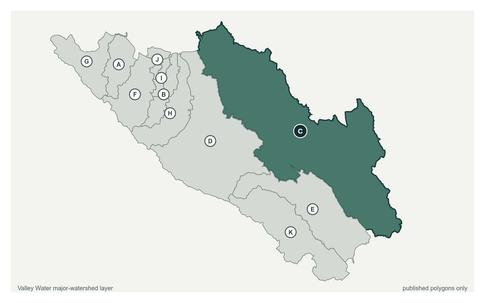
Where this gauge sits on Coyote Creek.
Coyote Creek above Coyote Reservoir (USGS)
3.29 ft · 0 cfs · no published thresholdCoyote Creek below Coyote Reservoir (USGS)
4.60 ft · 6.1 cfs · no published thresholdCoyote Creek below Anderson Reservoir
3.73 ft · 3.87 cfs · no published thresholdCoyote Creek at Madrone (USGS)
2.03 ft · 12 cfs · 3.97 ft below threshold 1Coyote Creek above Metcalf Road
5.91 ft · 0.6 cfs · no published thresholdCoyote Creek below Coyote Perc Pond
0.00 ft · 0 cfs · no published thresholdThis sensor is high flow only (50cfs+) and is sensitive to vegetation growth in the channel.
Valley Water, sensor notes for Coyote Creek at William St