Threshold 1 · 14.5 ft (3,780 cfs)
11.38 ft above the current reading
Flood Watch. Increased vegetation growth and or debris may bring creek to flood stage.
Valley Water, threshold 1 description for Guadalupe River at Alma Ave (Stage Only)
 Surface Water Data Portal
Readings as of July 28, 2026 at 4:53 PM PT · not current conditions
Reading 3.12 ft and 0 cfs. That is 11.38 feet below the first flood threshold.
3.12 ft
Captured July 28, 2026 at 4:30 PM PT
These descriptions are Valley Water's own, quoted exactly as published for this gauge.
11.38 ft above the current reading
Flood Watch. Increased vegetation growth and or debris may bring creek to flood stage.
Valley Water, threshold 1 description for Guadalupe River at Alma Ave (Stage Only)
14.38 ft above the current reading
River begins to overtop upstream of Alma Avenue Bridge into the Elks Lodge, spilling north, as well as near the RxR on the east bank.
Valley Water, threshold 2 description for Guadalupe River at Alma Ave (Stage Only)
15.38 ft above the current reading
River continues to overtop upstream of Alma Avenue Bridge into the Elks Lodge, spilling north along Lelong Street. Alma Avenue/CA87 viaduct is flooded. Creek overbanks west near Minnesota Avenue downstream of Alma Avenue. Properties upstream of the old UPRR alignment in the Northern Cross Neighborhood also at risk.
Valley Water, threshold 3 description for Guadalupe River at Alma Ave (Stage Only)
16.38 ft above the current reading
Flooding continues to spill near Alma Avenue, flowing northward and crossing east under Willow Street and Alma Avenue viaducts, continuing to flow north. Overbanking occurs at Atlanta Avenue just upstream of CA-87. The Willow Glen Neighborhood bounded by Willow Street and Minnesota Avenue sees overland flooding. Overbanking occurs in various locations between Alma Avenue and Willow Glen Way. Potential flooding on Ross and Canoas creeks due to high backwater caused by Guadalupe River.
Valley Water, threshold 4 description for Guadalupe River at Alma Ave (Stage Only)
Streets and landmarks named in the threshold descriptions above.
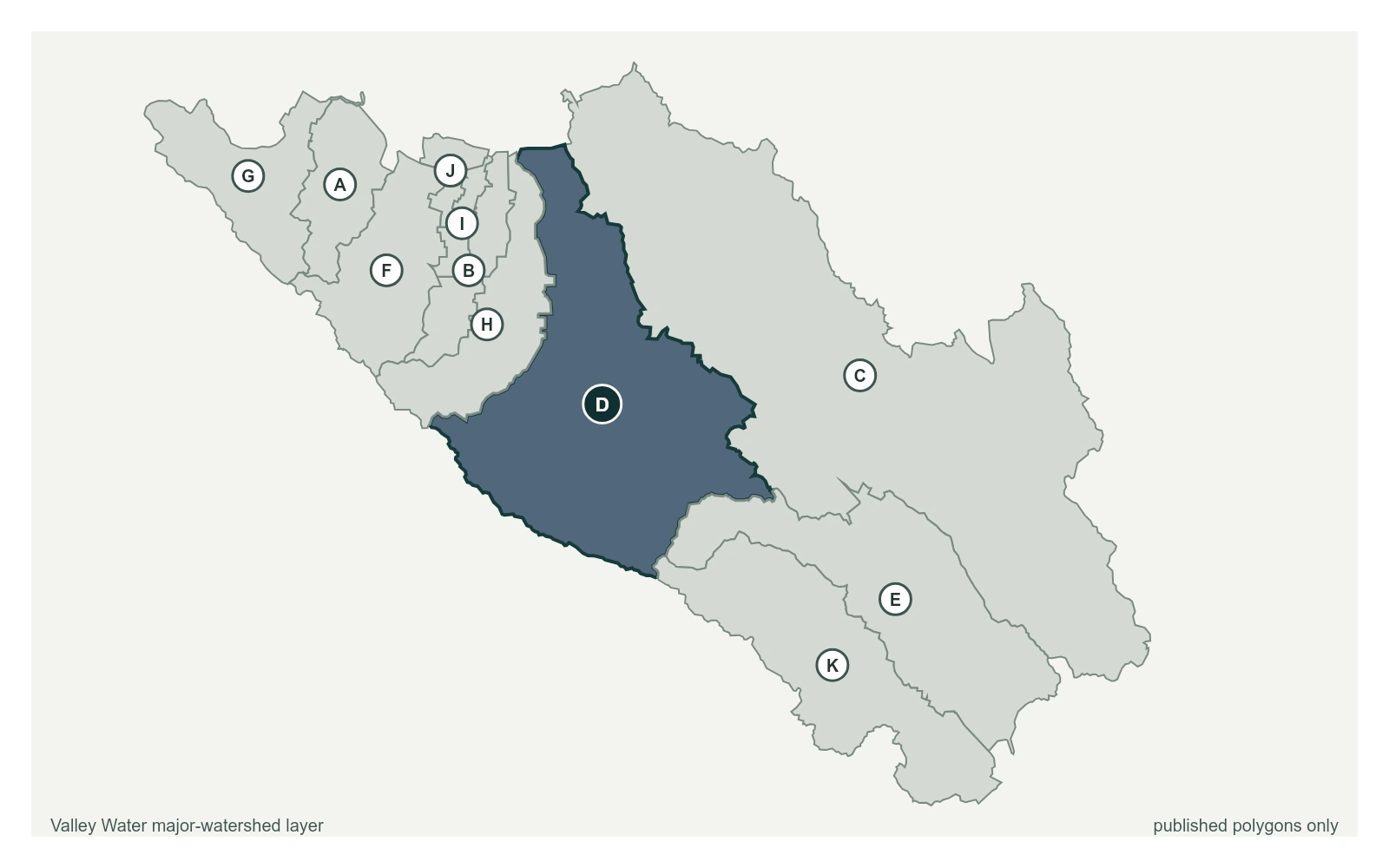
Where this gauge sits on Guadalupe River.
Guadalupe River at Alamitos Fish Ladder
1.60 ft · 5.8 cfs · no published thresholdGuadalupe River above Almaden Expwy
2.34 ft · 1.86 cfs · 6.66 ft below threshold 1Guadalupe River at Alma Ave (Stage Only)
3.12 ft · 0 cfs · 11.38 ft below threshold 1Guadalupe River at US-101 (USGS)
5.12 ft · 27.5 cfs · 11.88 ft below threshold 1Guadalupe River at Montague Expwy (Stage Only)
10.44 ft · 0 cfs · no published thresholdGuadalupe River at Gold St (Stage Only)
4.76 ft · 0 cfs · no published thresholdSensor is stage only for flood warning purposes.
Valley Water, sensor notes for Guadalupe River at Alma Ave (Stage Only)