Named in 6 flood threshold descriptions published by Valley Water.
What Valley Water Says Floods Here
Every quotation below is Valley Water's own text, unedited, with the captured reading and the exact distance to the first threshold that names this place.
Guadalupe watershed · captured reading 2.34 ft · first named at threshold 2, 10.5 ft
At the captured reading, this creek is 8.16 feet below the level where Alma Avenue is named.
River begins to overtop upstream of Alma Avenue Bridge into the Elks Lodge, spilling north, as well as near the RxR on the east bank.
Valley Water, threshold 2 description for Guadalupe River above Almaden Expwy
River continues to overtop upstream of Alma Avenue Bridge into the Elks Lodge, spilling north along Lelong Street.
Valley Water, threshold 3 description for Guadalupe River above Almaden Expwy
Flooding continues to spill near Alma Avenue, flowing northward and crossing east under Willow Street and Alma Avenue viaducts, continuing to flow north.
Valley Water, threshold 4 description for Guadalupe River above Almaden Expwy
Guadalupe watershed · captured reading 3.12 ft · first named at threshold 2, 17.5 ft
At the captured reading, this creek is 14.38 feet below the level where Alma Avenue is named.
River begins to overtop upstream of Alma Avenue Bridge into the Elks Lodge, spilling north, as well as near the RxR on the east bank.
Valley Water, threshold 2 description for Guadalupe River at Alma Ave (Stage Only)
River continues to overtop upstream of Alma Avenue Bridge into the Elks Lodge, spilling north along Lelong Street.
Valley Water, threshold 3 description for Guadalupe River at Alma Ave (Stage Only)
Flooding continues to spill near Alma Avenue, flowing northward and crossing east under Willow Street and Alma Avenue viaducts, continuing to flow north.
Valley Water, threshold 4 description for Guadalupe River at Alma Ave (Stage Only)
Gauge Location
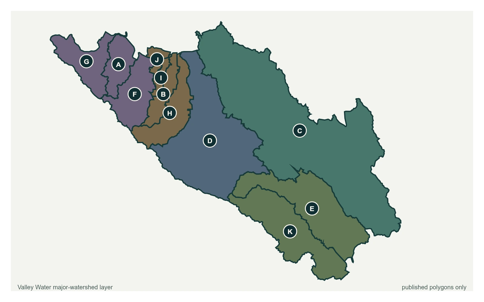
The point marks the gauge locations whose published threshold text names Alma Avenue; it does not claim a coordinate for the street or landmark. All eleven polygons in Valley Water's published major-watershed layer are shown. The eleven published boundaries do not line up exactly with the five watershed groupings used here, and not every named creek has one.
Stream gauge
A place named here is not a flood prediction. It is what Valley Water records as at risk when a creek reaches that level. For an emergency, call 911.