Reading 2.53 ft and 0 cfs. That is 4.97 feet below the first flood threshold.
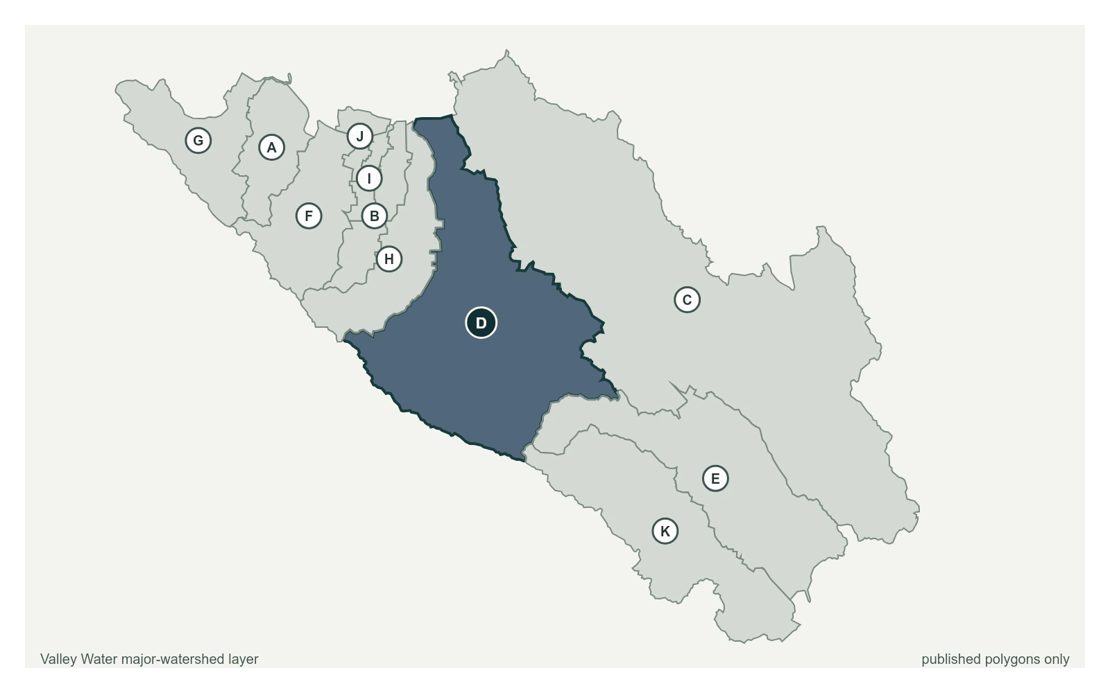
Ross Creek at Cherry Ave at 37.2631, -121.8870, exactly as positioned in Valley Water's sensor feed. Valley Water publishes Guadalupe River as a major watershed here. The eleven published boundaries do not line up exactly with the five watershed groupings used here, and not every named creek has one.
Stream gauge
2.53 ft
Captured July 28, 2026 at 4:40 PM PT
Sensor ID 5051
37.2631, -121.8870
Included in Valley Water's flood watch, carries a forecast model
Reporting
What Floods at Each Level
These descriptions are Valley Water's own, quoted exactly as published for this gauge.
Threshold 1 · 7.5 ft(634 cfs)
4.97 ft above the current reading
Creek is extremely flashy and can rise to flood stage within an hour depending on weather conditions. Creek can be heavily influenced by Guadalupe River flow is above 4,000 cfs (9' - 9.5' Stage at Almaden Expwy), causing backwater condition.
Valley Water, threshold 1 description for Ross Creek at Cherry Ave
Threshold 2 · 10 ft(1,070 cfs)
7.47 ft above the current reading
Water begins to overtop Cherry Avenue Bridge onto Montmorency Drive, and Jarvis Avenue Bridge. Storm drains back up from the creek into neighborhoods along Ross Creek.
Valley Water, threshold 2 description for Ross Creek at Cherry Ave
Threshold 3 · 11 ft(1,450 cfs)
8.47 ft above the current reading
Water begins to overbank Ross Creek to the north between Jarvis Ave and Almaden Expwy, sheet flowing north along streets.
Valley Water, threshold 3 description for Ross Creek at Cherry Ave
Threshold 4 · 12 ft(1,700 cfs)
9.47 ft above the current reading
Neighborhoods south of Hillsdale Ave and East of Jarvis Ave experience significant inundation. Waters may move past Hillsdale Ave, continuing northwards to the CA-87 and I-280 interchange. Floodwaters stay east of Cherry Avenue up to Curtner Avenue, and east of Lincoln Avenue north of Pine Street. Waters flow just east of Willow Glen Middle and High Schools, but do not inundate the schools.
Valley Water, threshold 4 description for Ross Creek at Cherry Ave
Places This Gauge Covers
Streets and landmarks named in the threshold descriptions above.