
Kirk Ditch at CA-17 (Not Real-Time)
Reading 0.00 ft and 0 cfs. Valley Water publishes no flood threshold for this location.
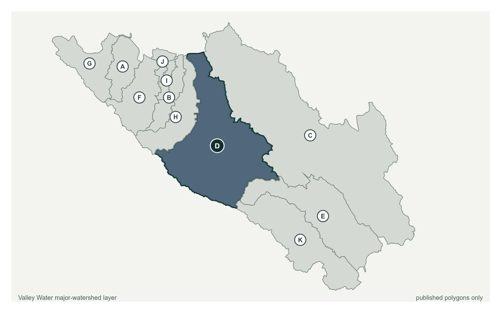
- Stream gauge
0.00 ft
Captured July 28, 2026 at 4:53 PM PT
- Sensor ID 5055_2
- 37.2624, -121.9510
- Not a flood watch sensor
- Not currently reporting
Flood Thresholds
Valley Water publishes no flood thresholds for this sensor. It is monitored for water supply and stream conditions rather than for flood warning.
Upstream and Downstream
Where this gauge sits on Kirk Ditch.
- 2.45 ft · 12.48 cfs · no published threshold
Kirk Ditch at CA-17 (Not Real-Time)
0.00 ft · 0 cfs · no published threshold
Sensor Notes
Record quality is poor. Rating requires more definition and channel is subject to extreme plant growth. Flow past the station is regulated by Kirk Ditch and the Oka Recharge Ponds. Station measures the inflow into McGlincey Ponds. Sensor does not have telemetry and is not real-time.
Valley Water, sensor notes for Kirk Ditch at CA-17 (Not Real-Time)