Reading 1.28 ft and 0 cfs. That is 8.22 feet below the first flood threshold.
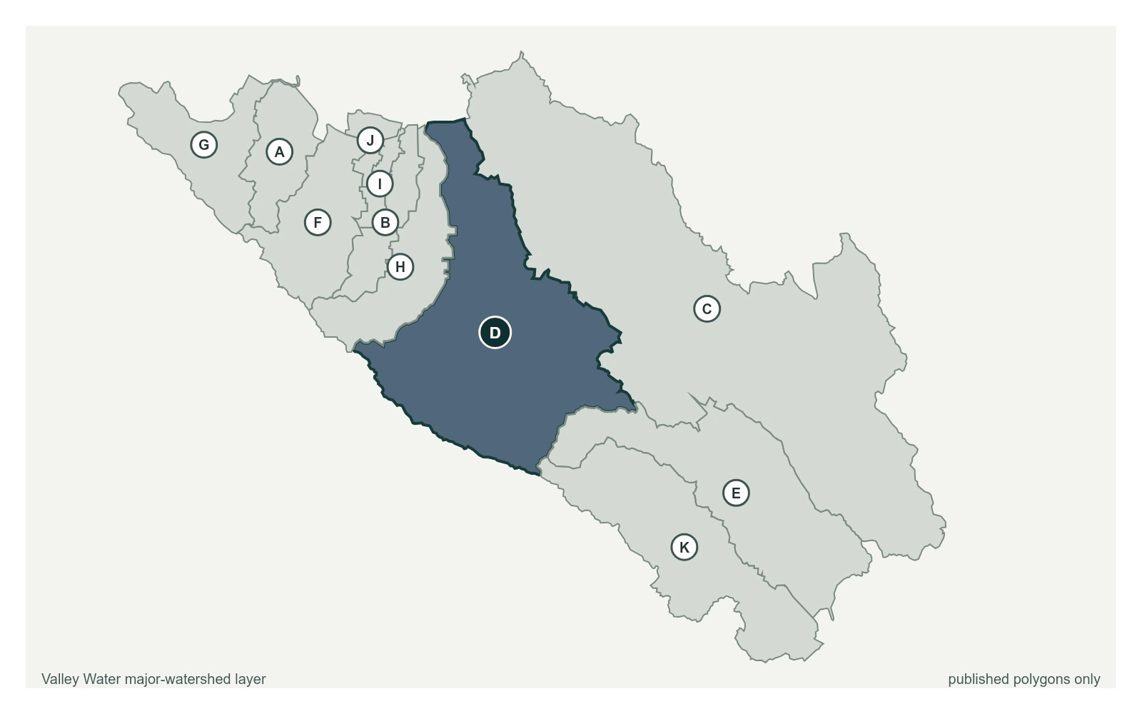
Canoas Creek at Almaden Expwy (Stage Only) at 37.2885, -121.8810, exactly as positioned in Valley Water's sensor feed. Valley Water publishes Guadalupe River as a major watershed here. The eleven published boundaries do not line up exactly with the five watershed groupings used here, and not every named creek has one.
Stream gauge
1.28 ft
Captured July 28, 2026 at 4:30 PM PT
Sensor ID 5073
37.2885, -121.8810
Included in Valley Water's flood watch
Reporting
What Floods at Each Level
These descriptions are Valley Water's own, quoted exactly as published for this gauge.
Threshold 1 · 9.5 ft
8.22 ft above the current reading
Calero Avenue and Blossom Hill Road possible weak points for debris and street flooding. Creek is heavily influenced by Guadalupe River flow is above 2,000 cfs
Valley Water, threshold 1 description for Canoas Creek at Almaden Expwy (Stage Only)
Threshold 2 · 13.5 ft
12.22 ft above the current reading
Overtopping occurs upstream of Nightingale Drive behind private residences and upstream of the culvert. Waters flow along streets to the north and south.
Valley Water, threshold 2 description for Canoas Creek at Almaden Expwy (Stage Only)
Threshold 3 · 15 ft
13.72 ft above the current reading
Significant flooding in the Canoas Garden Neighborhood. Homes to the south of Canoas Creek along Nightingale are inundated. Water flows north along streets toward Curtner and Almaden Expressway. Mill Pond at risk.
Valley Water, threshold 3 description for Canoas Creek at Almaden Expwy (Stage Only)
Threshold 4 · 16 ft
14.72 ft above the current reading
Entire Canoas Garden Neighborhood is inundated. Mill Pond Neighborhood is inundated. Area west of CA-87, South of Curtner, and East of Almaden flooded. Water travelling north of Curtner.
Valley Water, threshold 4 description for Canoas Creek at Almaden Expwy (Stage Only)
Places This Gauge Covers
Streets and landmarks named in the threshold descriptions above.