Threshold 1 · 13 ft
9.03 ft above the current reading
Possible overtopping from 237 to Ames if vegetation is heavy. Check levees.
Valley Water, threshold 1 description for Berryessa Creek above Calaveras Blvd
 Surface Water Data Portal
Readings as of July 28, 2026 at 4:53 PM PT · not current conditions
Reading 3.97 ft and 102 cfs. That is 9.03 feet below the first flood threshold.
3.97 ft
Captured July 8, 2026 at 7:45 AM PT
These descriptions are Valley Water's own, quoted exactly as published for this gauge.
9.03 ft above the current reading
Possible overtopping from 237 to Ames if vegetation is heavy. Check levees.
Valley Water, threshold 1 description for Berryessa Creek above Calaveras Blvd
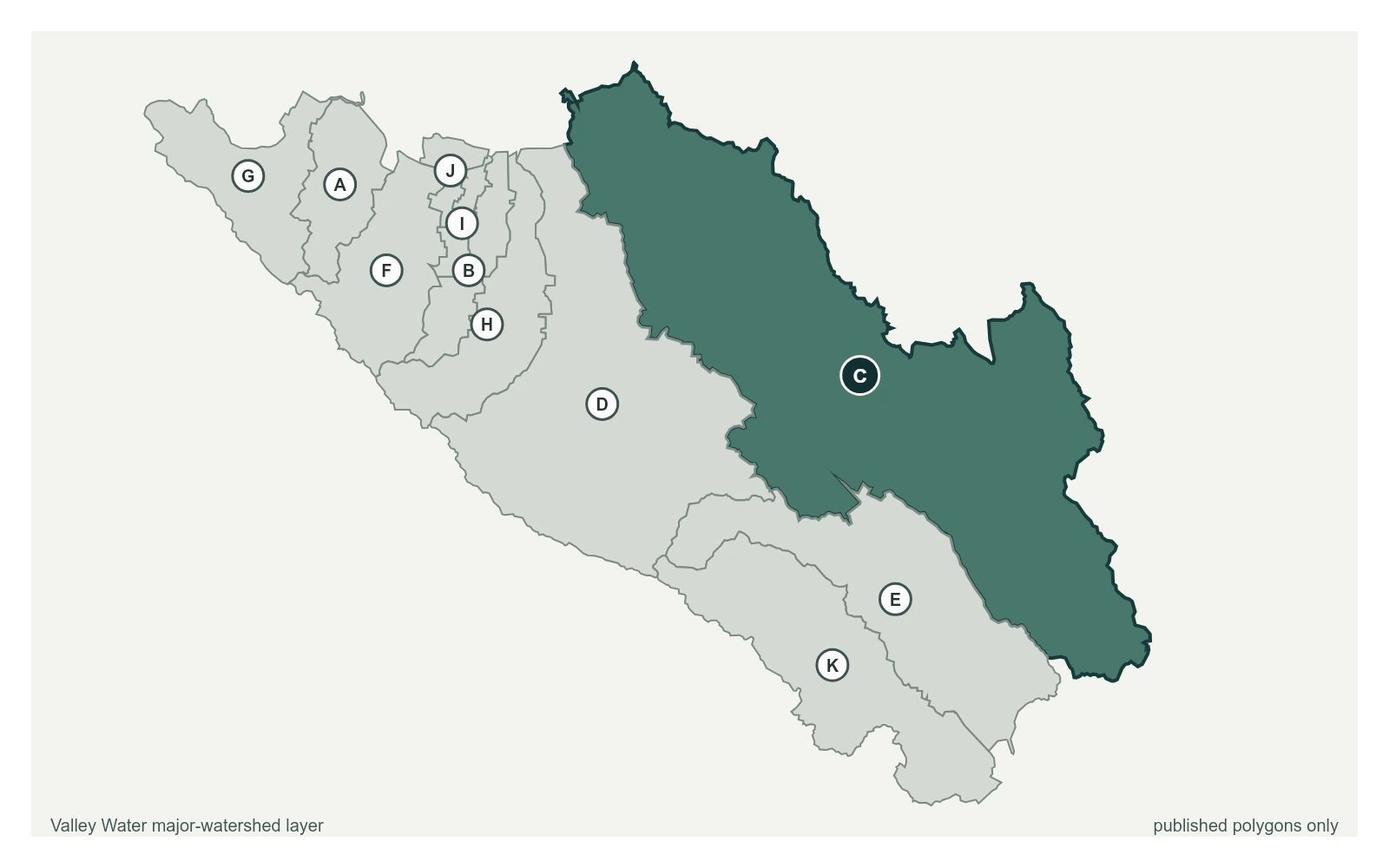
Where this gauge sits on Berryessa Creek.
Berryessa Creek at Old Piedmont Road
9.90 ft · 0 cfs · 1.10 ft below threshold 1Berryessa Creek above Calaveras Blvd
3.97 ft · 102 cfs · 9.03 ft below threshold 1Previously located near King Rd, but moved upstream due to backwater influence from Coyote Creek during high flows. Low flow cuttoff was set to 80 cfs in WY 2024 due to meandering channel.
Valley Water, sensor notes for Berryessa Creek above Calaveras Blvd