In This Issue
Text of this issue
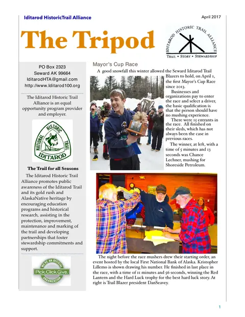
Iditarod HistoricTrail Alliance April 2017 The Tripod PO Box 2323 Seward AK 99664 IditarodHTA@gmail.com http://www.Iditarod100.org The Iditarod Historic Trail Alliance is an equal opportunity program provider and employer. The Trail for all Seasons Mayor's Cup Race A good snowfall this winter allowed the Seward Iditarod Trail Blazers to hold, on April 1, the first Mayor's Cup Race since 2013. Businesses and organizations pay to enter the race and select a driver, the basic qualification is that the person should have no mushing experience. There were 15 entrants in the race. All finished on their sleds, which has not always been the case in previous races. The winner, at left, with a time of 5 minutes and 13 seconds was Chance Lechner, mushing for Shoreside Petroleum.
The Iditarod Historic Trail Alliance promotes public awareness of the Iditarod Trail and its gold rush and AlaskaNative heritage by encouraging education programs and historical research, assisting in the protection, improvement, maintenance and marking of the trail and developing partnerships that foster stewardship commitments and support. The night before the race mushers drew their starting order, an event hosted by the local First National Bank of Alaska. Kristopher Lillemo is shown drawing his number. He finished in last place in the race, with a time of 11 minutes and 56 seconds, winning the Red Lantern and the Hard Luck trophy for the best hard luck story.
At right is Trail Blazer president DanSeavey. 1 Iditarod HistoricTrail Alliance April 2017 From the past… "Iditarod Pioneer" April 21 1917 BREAKING UP OF TRAILS ENDS CANINE USEFULNESS The imminent break-up of the trails has had the effect of greatly decreasing the value of dogs. Seldom has there been such a demand for these useful animals as during the past winter, and the value of the animals has increased accordingly. But with the approach of summer, the day of the dog is over, and until next fall dogs will be a drag on the market. It is customary for dogs to be "farmed out" during the open season, a stipulated monthly fee being paid for their upkeep. Sometimes these "farms" have been located near town, but in recent years large numbers of dogs have been taken to the Yukon, where cheap fish for feed can be obtained.
There appears to be somewhat of a rivalry thus year for the business and the competition was livened somewhat by an error in an advertisement published in The Pioneer last week, which stated that dogs would be cared for $1 per month, it should have been $3. Advertisement from the April 14, 1917 "Iditarod Pioneer" mentioned in news article above. Walking gets the feet moving, the blood moving, the mind moving. And movement is Life. Terri Guillements The Mayor's Cup Race course was a mile and a half loop through Box Canyon. Each musher had a three dog team. Dogs and sleds are provided by local mushers. There was a bonfire for spectators to warm up and roast hotdogs and marshmallows. Digital maps The Bureau of Land Management has started unveiling free digital maps that users can download to their smartphones and open in a third-party mobile app.
The app can use GPS download to their smartphones and open in a third-party mobile app. The app can use GPS technology to show the user's location on the map, even if that person is without cellphone service. The first series of digital maps were released on March 27 at blm.gov/maps. The 10 maps cover about 102 million acres of BLM managed lands and surrounding areas and have the most current geospatial data embedded. The maps include the Denali Highway, the Dalton Highway and the National Petroleum Reserve-Alaska that borders the Arctic Ocean. By June 2, the agency plans to publish a digital map for the 730 acre Campbell Tract in Anchorage. The Iditarod National Historic Trail is also a priority. BLM is not the only federal agency going digital with its maps. The U. S. Forest Service published an interactive visitor map earlier this year for lands it manages.
It shows roads, trails, trial heads, forest boundaries, land ownership, cabins and campsites. It also includes layers with information on active fires and weather warnings. 2