
Confederated Salish and Kootenai Tribes Natural Resources Department
Division of Engineering & Water Resources
The Division of Engineering & Water Resources (DEWR) was established to implement the CSKT-Montana Water Compact and support long-term stewardship and administration of Tribal water resources.
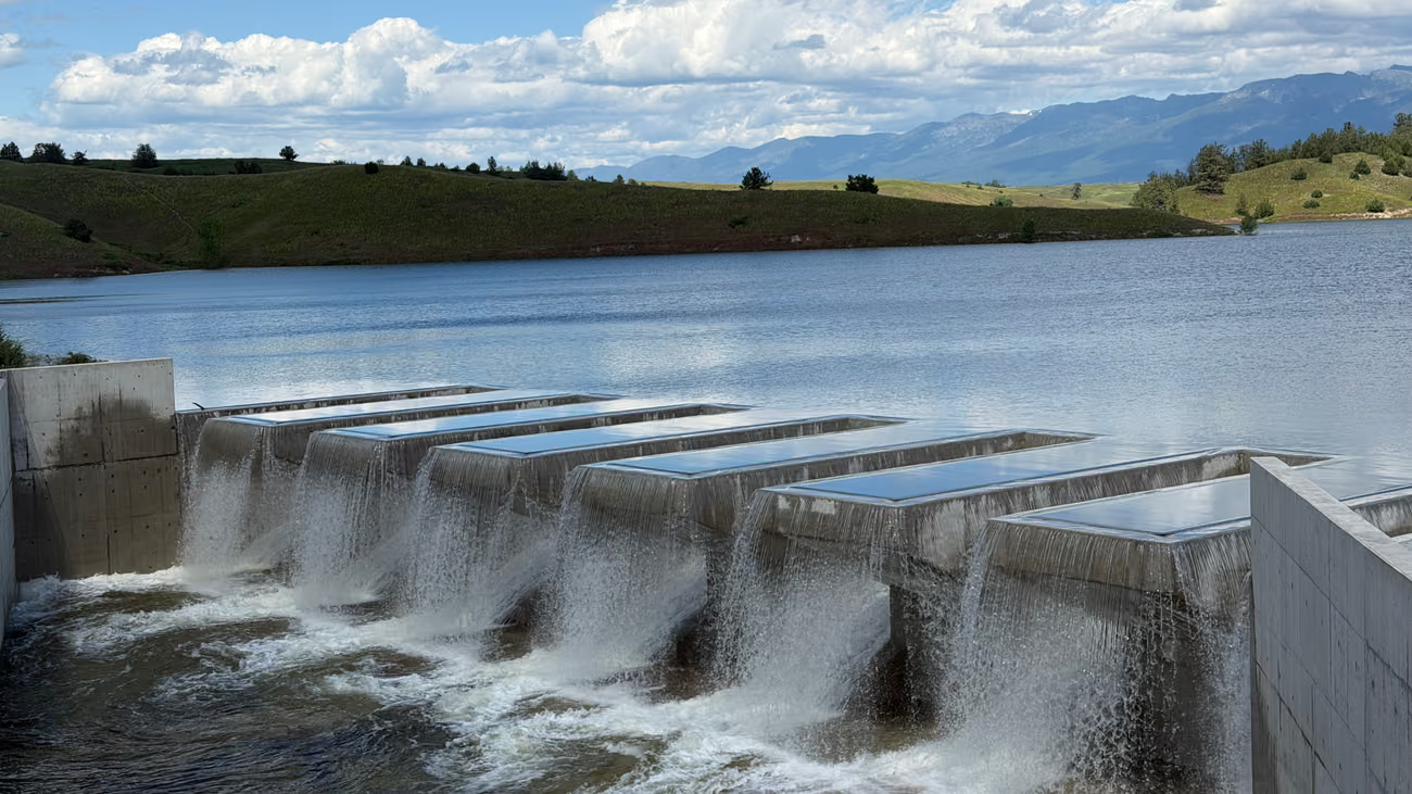
Crow Dam Water over the modernized spillway
Dated work and deadlines
On the Water Now
-
Bid
Website Redesign and Development Services
Due October 29, 2026, 4:30 p.m. MDT.
Closes October 29
-
Hiring
Hydrologist I/II/III
Closes Monday, November 16, 2026 at 5:30 p.m. (MST).
Closes November 16
-
Construction
Grace Lane Bridge
Construction through fall 2026.
Through fall 2026
-
Construction
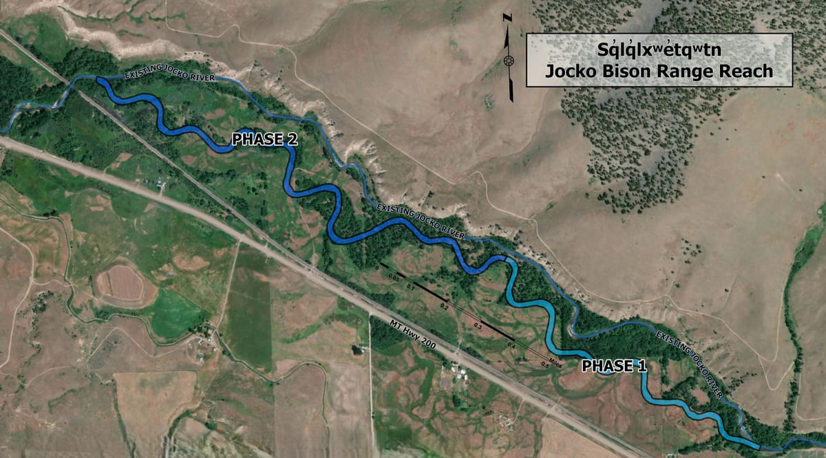
Jocko River Bison Range Reach
Phase Two – In Progress (2027)
Through 2027
-
Construction
Jocko Area Canal Conversion (Phases 5 & 6)
Anticipated to begin following the 2026 irrigation season.
From fall 2026
-
Construction
Lower Jocko J Diversion
Anticipated to begin fall of 2026.
From fall 2026
-
Road closure
Tabor Feeder Canal road
Closed now until November 2029.
Until November 2029
Nothing DEWR has posted is under way this week. Closures, construction and bid dates appear here as soon as they are posted.
Projects on the Reservation
Where the Work Is
Boundary and highways: U.S. Census Bureau. Rivers, lakes and places: U.S. Geological Survey. Data retrieved October 26, 2026.
Jocko River
North Fork Jocko and the Tabor Feeder Canal
Crow Creek and Lower Crow Reservoir
Mission Valley reservoirs and canals
Bison Range Reach Restoration
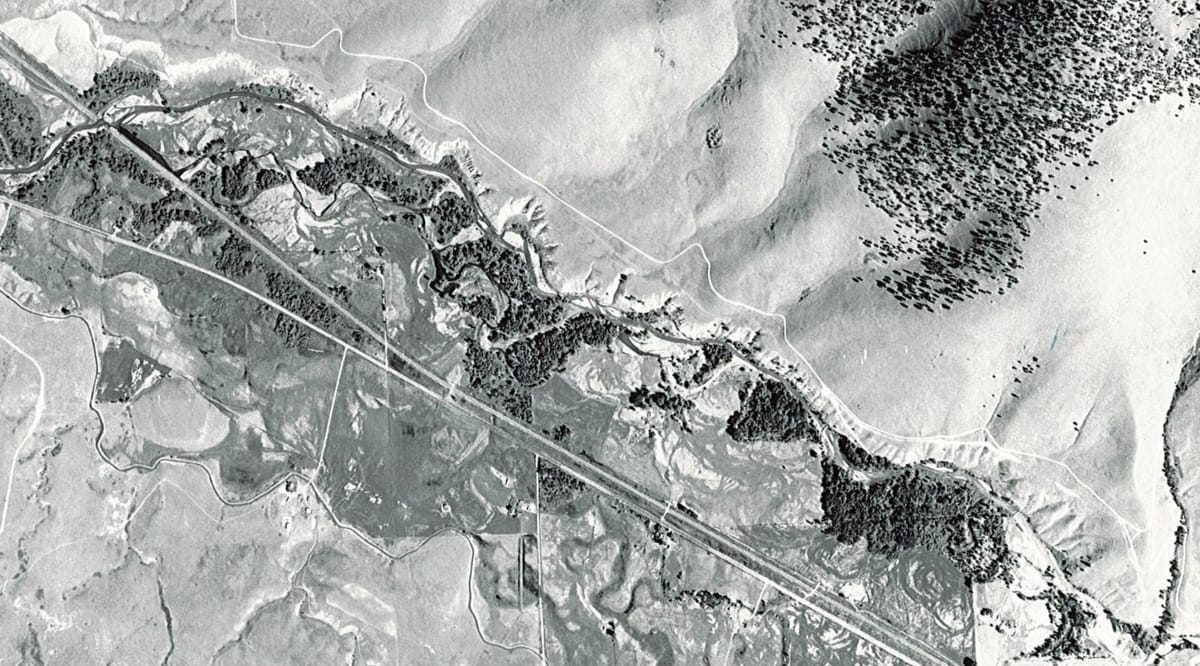
The Jocko River, 1962 and Now
The Project proposes to construct approximately 14,300 linear feet of new Jocko River channel in an historical channel alignment in the former floodplain, reclaiming approximately 12,000 feet of existing Jocko River to upland, wetland, and riparian habitats, and actively restoring the current and former floodplain.


CSKT-Montana Water Compact
The Compact
The CSKT-Montana Water Compact is a Tribal-State Federal agreement that quantifies and protects the Confederated Salish and Kootenai Tribes’ federally reserved water rights under the 1855 Hellgate Treaty. The Compact was approved by the Confederated Salish and Kootenai Tribes, the Montana Legislature, and the United States Congress, and became effective on September 17, 2021, following approval by the U.S. Secretary of the Interior.
1855
The Hellgate Treaty, under which the Compact quantifies and protects the Tribes' federally reserved water rights.
April 24, 2015
Ratification by Montana Legislature and signed by Governor Steve Bullock
December 27, 2020
Ratified by the United States Congress and signed by President Donald Trump
December 29, 2020
Approved by the Confederated Salish & Kootenai Tribes by signed Council Resolution
September 17, 2021
Compact approval and release of waivers signed by Department of Interior Secretary Deb Haaland
May 12, 2026
The Montana Water Court approved the CSKT-Montana Water Compact, marking the completion of decades of negotiation and legal proceedings.
Eight programs
What DEWR Does
DEWR works to implement the CSKT-Montana Water Compact through engineering, science, planning, construction, operations, resource management, and public engagement. Our work includes irrigation modernization, fish passage and habitat restoration, dam safety, road improvements, water rights implementation, hydrologic monitoring, and community outreach.
-
Monitoring & Measurement
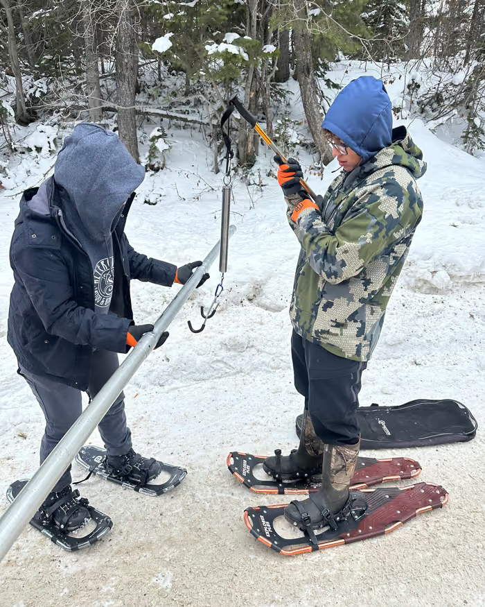
The CSKT Water Monitoring and Measurement Program quantifies snow, surface water, and groundwater resources on the Flathead Reservation. The Program also provides technical support to other Tribal programs as well as partner agencies to preserve, protect, and enhance the Reservation’s resources and ecosystems for future generations.
-
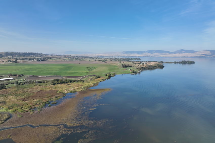
Water Management & Planning
Water is a sacred and essential resource to the inhabitants of the Flathead Indian Reservation. With many competing demands, as well as climate-related impacts, it is vital to properly manage these resources to meet the various beneficial uses. Using data-driven approaches, CSKT Water Management and Planning Program staff develop solutions to these challenges, ensuring a balance between the many water needs.
-
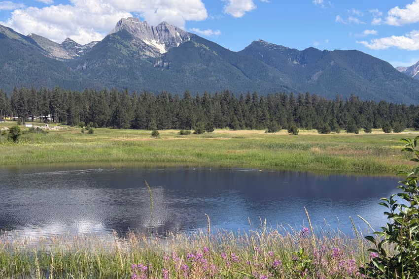
Water Rights
The Water Rights Program Mission is to protect the Tribes' inherent water rights and ensure that these rights are recognized, quantified, and preserved for future and current generations.
-
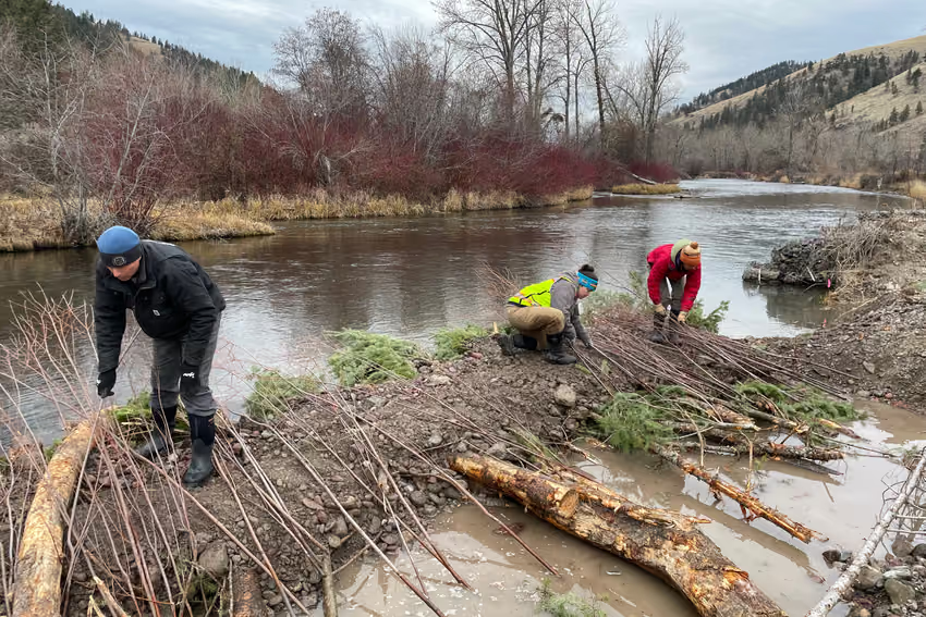
Environmental Restoration
The Restoration Program oversees and implements restoration and mitigation for historical and contemporary natural resources impacts due to the construction and operation of the Flathead Indian Irrigation Project, as specified in Section 7 of the Montana Water Rights Protection Act. The program also ensures compliance with mandatory federal and Tribal environmental regulations, such as NEPA and permitting.
-
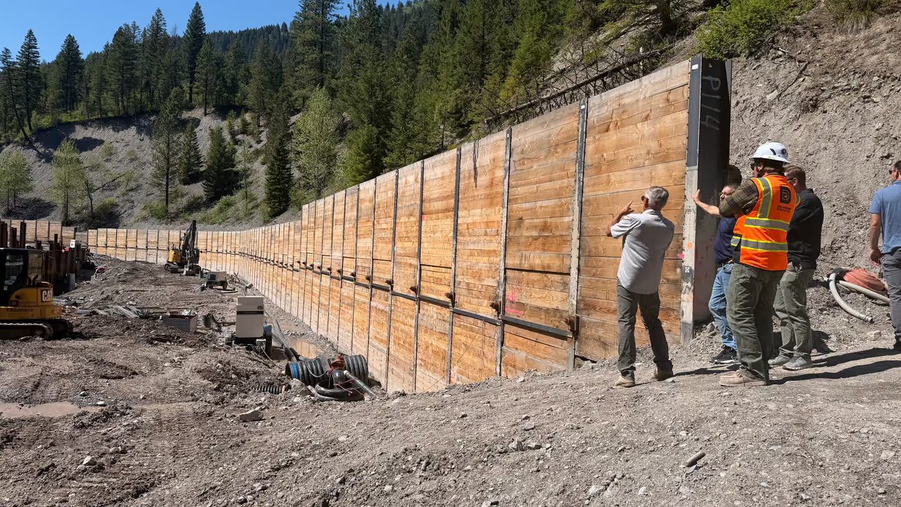
Irrigation Infrastructure
The program organizes, plans and executes rehabilitation and restoration of various elements of the Flathead Indian Irrigation Project with the goal of making the project more efficient with modernized control systems.
-
Safety of Dams
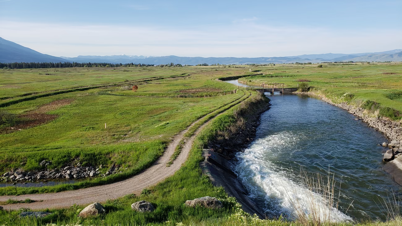
SOD oversees the Reservation’s 15 high-hazard dams with regular instrumentation data collection, inspections and performance evaluations to identify and implement maintenance activities as well as address necessary improvements leading to rehabilitation and betterment projects associated with the CSKT Water Compact.
-
Roads
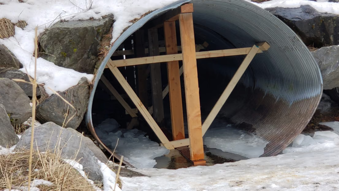
The Roads Program is responsible for the maintenance and construction of certain BIA roads within the reservation boundary. The program administers a Tribal Transportation Program in cooperation with the Federal Highway Administration which includes a Long and Short Range Tribal Transportation Plan. The BIA Road Maintenance program maintains main BIA roads and Homesite roads.
-
Information & Education
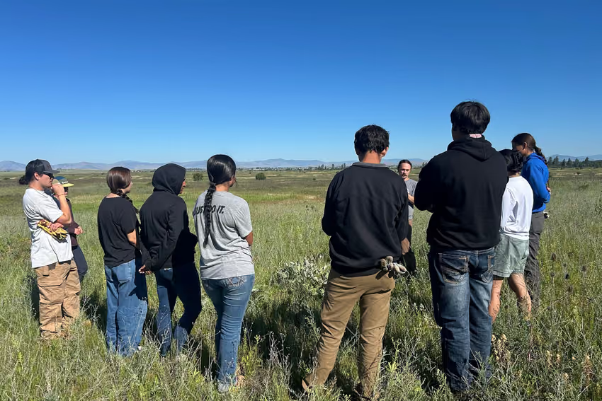
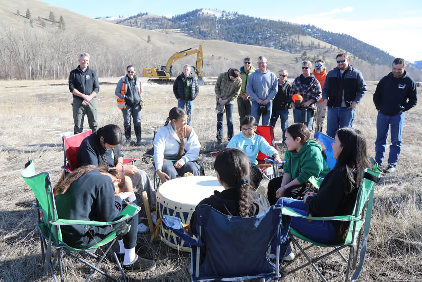
The Information and Education Program promotes the projects and initiatives of the Division of Engineering and Water Resources. The program offers support through multimedia resources including Geospatial data analysis, map making, public outreach and recruitment. The program engages with local schools, summer youth programs, colleges, universities, local organizations, working groups and committees.
Careers
The People Doing the Work
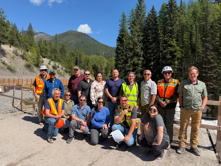
Our work matters. Every day, our team tackles complex challenges that directly affect the future of our communities, our water resources, and the landscapes we depend on. The decisions we support today shape the sustainability of our region for generations to come.
-
Hiring
Hydrologist I/II/III
Closes Monday, November 16, 2026 at 5:30 p.m. (MST).
No DEWR openings are posted right now. CSKT Personnel lists every opening with the Tribes at cskt.org/personnel.