
New website by Stoa. Not the official Valley Water website.

Guadalupe watershed

Pond A8 Stage

Reading 5.11 ft and 0 cfs. Valley Water publishes no flood threshold for this location.
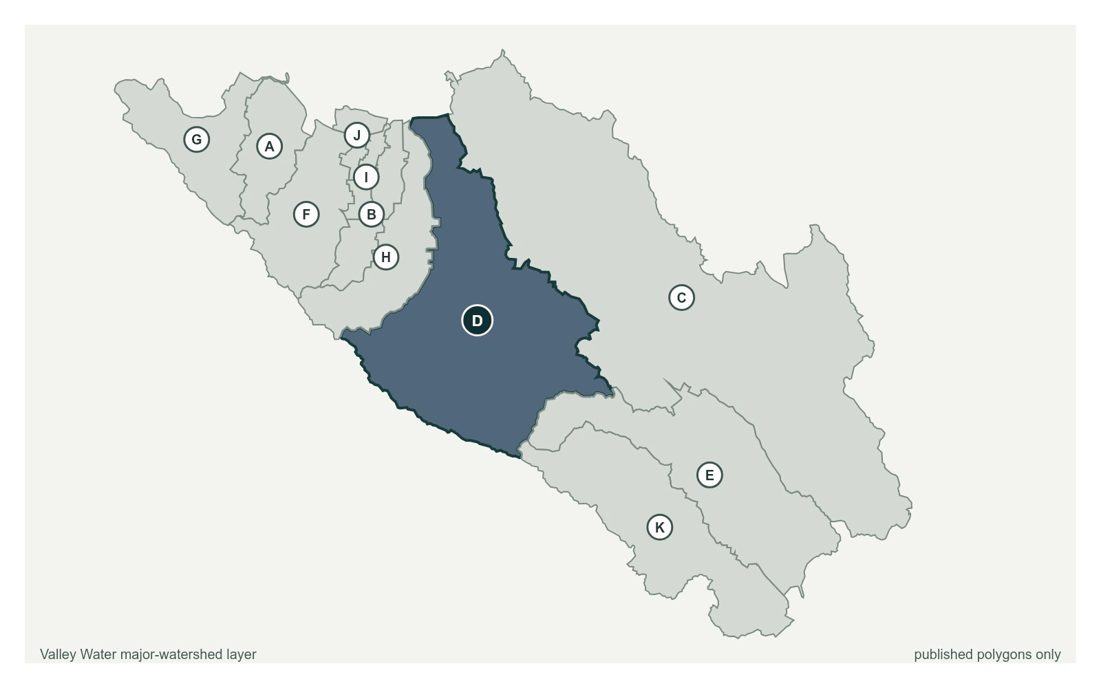
Pond A8 Stage plotted at latitude 37.4228 and longitude -121.9806 over Valley Water's published major-watershed layer.
Pond A8 Stage at 37.4228, -121.9806, exactly as positioned in Valley Water's sensor feed. Guadalupe River is the published polygon whose name matches this portal group. The eleven published polygons do not exactly match the portal's five sensor groups and do not provide a boundary for every named creek.
  • Stream gauge

5.11 ft

Captured July 28, 2026 at 4:45 PM PT

  • Sensor ID 5137
  • 37.4228, -121.9806
  • Not a flood watch sensor
  • Reporting

Flood Thresholds

Valley Water publishes no flood thresholds for this sensor. It is monitored for water supply and stream conditions rather than for flood warning.

Sensor Notes

Pond A8 Stage. To convert to NAVD88, add 0.61'.

Valley Water, sensor notes for Pond A8 Stage