
Masson Fish Ladder
Reading 3.56 ft and 0 cfs. Valley Water publishes no flood threshold for this location.
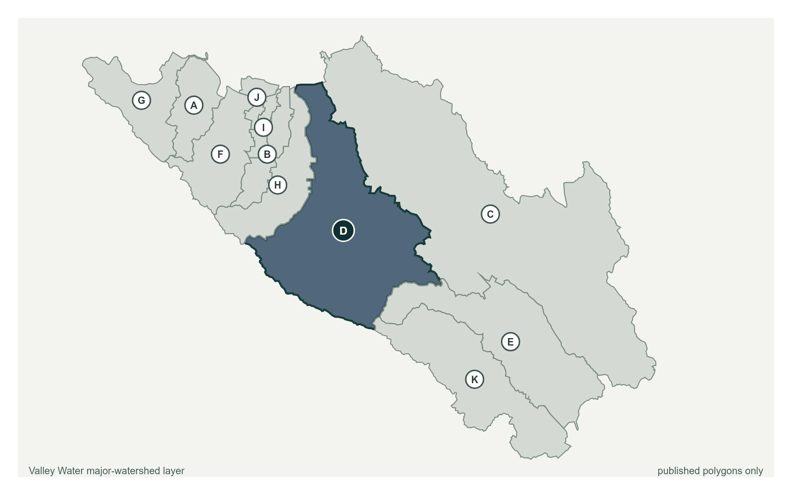
- Stream gauge
3.56 ft
Captured July 28, 2026 at 4:30 PM PT
- Sensor ID 5114
- 37.2332, -121.8990
- Not a flood watch sensor
- Reporting
Flood Thresholds
Valley Water publishes no flood thresholds for this sensor. It is monitored for water supply and stream conditions rather than for flood warning.
Sensor Notes
Record should be considered fair. At flows exceeding approximately 7.5cfs, a substantial amount of water passes over the dam rather than through the fish ladder. For this reason, flow is not calculated above 7.5 cfs and the site is appropriate for measuring low flows only.
Valley Water, sensor notes for Masson Fish Ladder