Design study · Public data portal · Indiana
See the water Indiana is measuring, right now
A statewide water data portal concept that takes federal monitoring data already being collected and makes it answer questions an ordinary resident would ask.
Concept only, built on public USGS data. Not an official State of Indiana website.
- Public data portal
- Live USGS data
- Streamflow and groundwater
- Trends
- Data downloads
Indiana Water Data Portal — concept by Stoa Works — open the working site
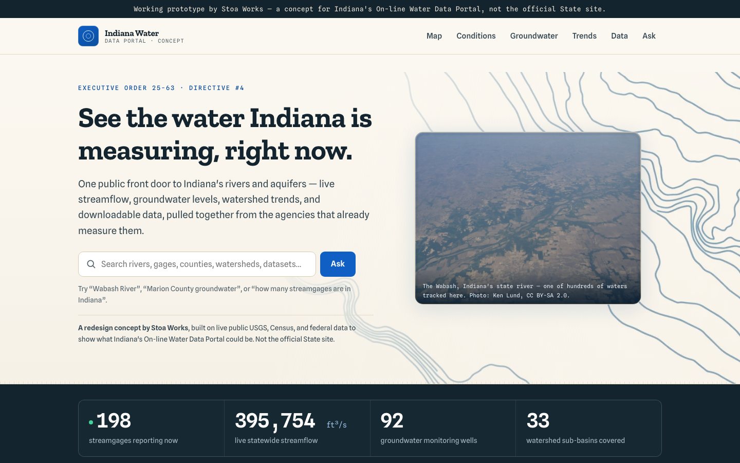
Case study overview
The problem
Federal agencies already measure streamflow and groundwater continuously across Indiana, and that data is technically public and effectively invisible. It lives behind interfaces built for hydrologists, organized by gauge identifier rather than by the county or watershed someone actually lives in. A farmer, a county official, or a resident wondering whether the aquifer is dropping has no practical route to an answer that already exists.
The approach
The portal reorganizes existing live USGS streamflow and groundwater data by the geographies people actually use — every county and watershed sub-basin — so the entry point is where you live rather than which gauge you know. Trends turn point readings into something interpretable, downloads keep the raw data available for anyone who needs it, and an answer surface handles the plain-language version of the question. Nothing new is measured; the contribution is entirely in making a public dataset usable.
The result
Twelve routes covering live streamflow and groundwater by county and sub-basin, with trends, downloads, and an answer surface.
Have something similar in mind?
Need a civic tool with this shape?
Stoa designs and ships resident-facing tools, internal workflows, and public service interfaces that stay fast, legible, and accessible from day one.