Plan by time + conditions

Make a shape for the day.

Nothing here promises an open door, a parking space, a calm lake, or a clear trail. Choose your pace. Then use the direct sources below to check what can change.

Downtown Leland along M-22 with businesses and people moving along the corridor
Downtown is an active crossing, not just a backdrop. Photo credit

Checked July 13, 2026

Adjust the map before you go.

Manitou Island access is closed for the 2026 construction season

Both island docks and villages are closed. So are all island facilities and utilities. The National Park Service expects the docks and villages to reopen in 2027. Manitou Island Transit says it will run no trips in 2026.

National Park Service access notice · Ferry operator notice

Whaleback Natural Area is temporarily closed

The Leelanau Conservancy says Whaleback has been closed since May 14, 2026. The reason is an access issue. It points visitors to nearby Clay Cliffs instead.

Current Whaleback status

Three useful scales

Pick the day you actually have.

2 hours

Trace the channel

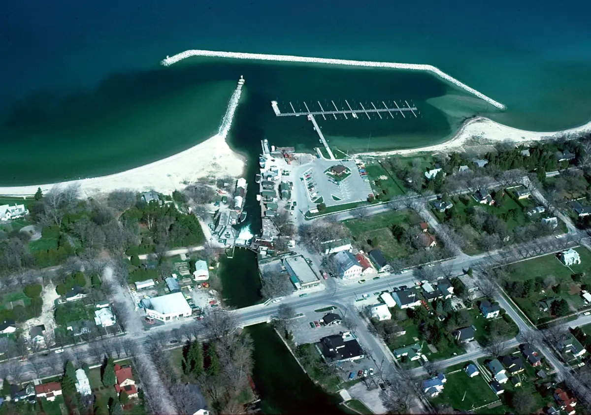
  1. Begin near the river. Find your bearings between Lake Leelanau and Lake Michigan.
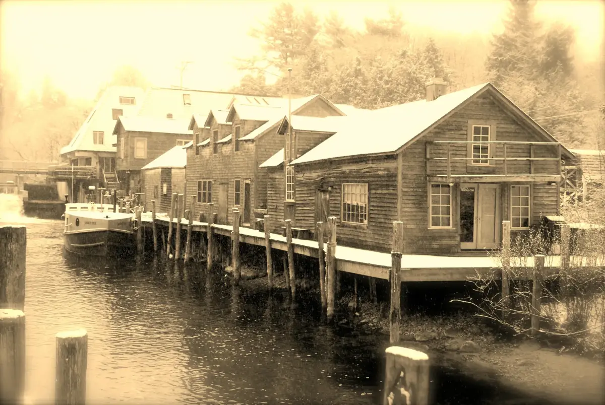
  2. Walk west toward Fishtown and the harbor. Treat the docks and fish tugs as a working place.
  3. Continue to the Lake Michigan shore if conditions are safe. Keep your group’s comfort in mind.

Before leaving: use the Chamber’s getting-here page to find your way. Follow posted signs for traffic, parking, and the waterfront.

Half a day

River, working waterfront, one deeper stop

  1. Follow the complete river route instead of rushing straight to Fishtown.
  2. Choose the Leelanau Historical Society & Museum or Leland Township Public Library. Go when that place says it is open.
  3. Leave open time for food, shops, or art. Find them through the Chamber’s live list instead of a copied list of hours.

Check first: museum visit information, library information, and the Chamber directory.

A full day

Both waters, then one careful side path

  1. Give the river crossing its own part of the day. Add the museum or library if it is open.
  2. Pause for the working-waterfront story and the Lake Michigan horizon.
  3. If you want a nature walk, do not plan on Whaleback while it is closed. Start with the Conservancy’s current Clay Cliffs page. Decide from there.

Check first: the Conservancy’s live status. Then use the property page it gives for any other trail.

Practical handoffs

Ask the keeper of each place.

Township notices, parks, permits, public services
Leland Township, hosted by Leelanau County
Businesses, events, visitor directory
Leland Chamber of Commerce
Fishtown property and visitor information
Fishtown Preservation
Manitou access and park conditions
National Park Service
Natural-area access and trail status
Leelanau Conservancy

Move at the place’s pace

Access and weather deserve a fresh check.

For mixed-mobility groups

This guide cannot verify every sidewalk, crossing, slope, waterfront surface, beach path, or restroom. It also does not track every winter condition. Contact the place responsible for a stop. Plan for rough or changing ground. Choose the shortest useful river route when needed.

For changing weather

Lake, wind, heat, cold, and shore conditions can change a plan. They can also change its safety. Check a current weather source and follow posted signs. Keep a library, museum, shop, or meal as your indoor version of the day.

For downtown movement

The Township’s current work on the corridor names safety for people on foot. It also covers sidewalks, street crossings, parking plans, and demand by season. Old travel copy cannot promise easy parking or a certain walking condition.

Check current Township information