One village · two lakes · westbound

Follow the river

Start on the inland shore. Keep the current on your left. The river runs a little more than a mile. It passes a library, a museum, a dam, downtown, and a working fishing village. Then it meets the Big Lake.

Enter at North Lake Leelanau
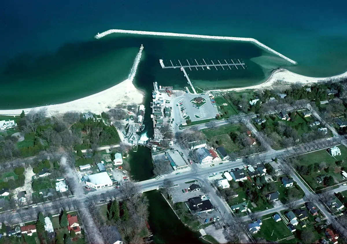
Aerial view of Leland's river channel, harbor, and Lake Michigan shoreline
Look east to west: inland lake, narrow channel, open water. U.S. Army Corps of Engineers, public domain. Photo details
  1. Inland water · begin here

    North Lake Leelanau

    Before Leland opens onto Lake Michigan, it gathers around quieter inland water. The river is the seam. Follow it west, and the village shows its shape in order.

    The Chamber's beach guide is a useful first stop for public access on both sides of the village. Check the linked source before making plans. Conditions and local details can change.

    Find the two shores in the Chamber beach guide

    Source: Leland Chamber of Commerce · visitor orientation
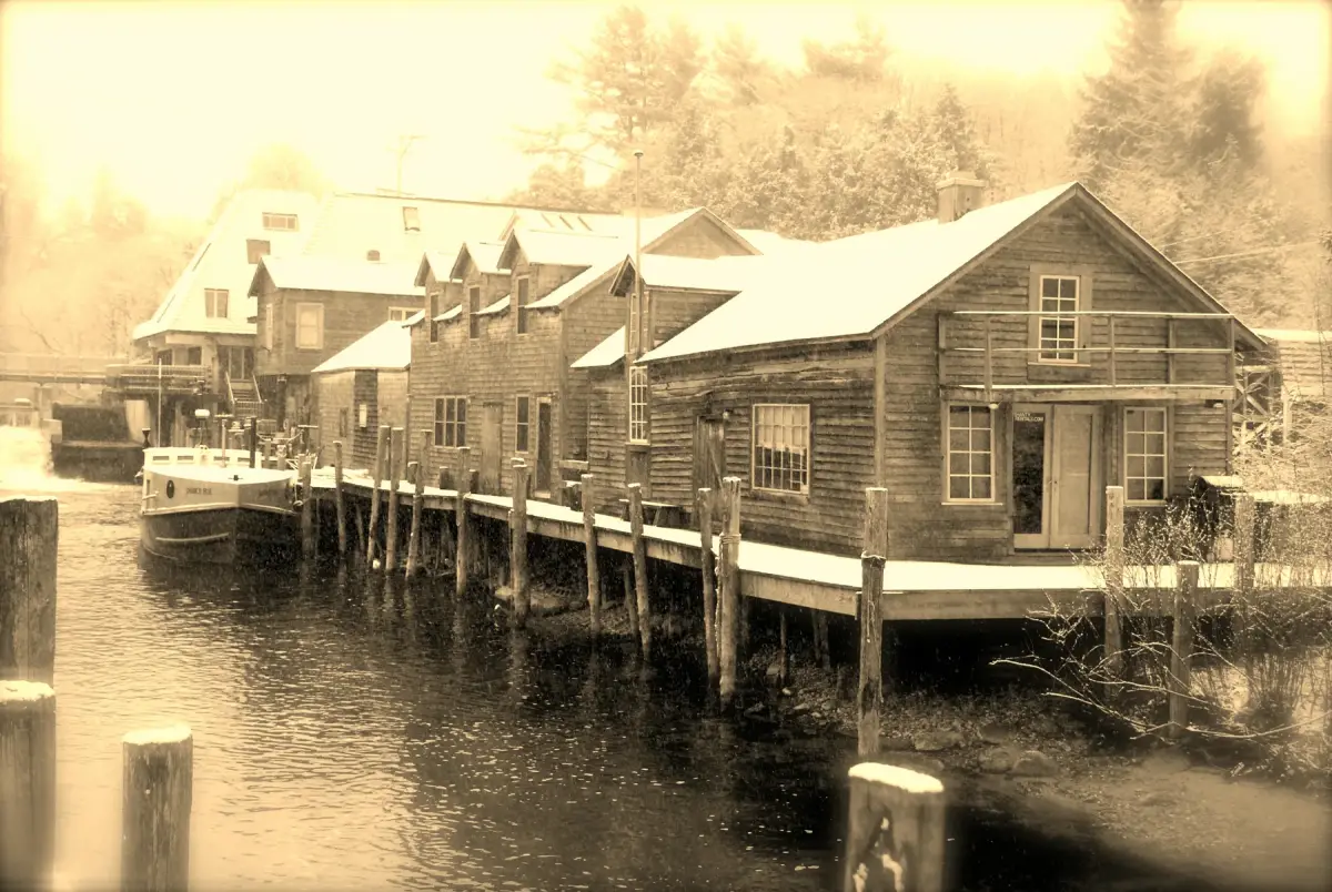
  2. The Leland River edged by snow in winter
    John Levanen · CC BY-SA 2.0 · credit

    Resources on the river

    Library and museum

    On Cedar Street, two neighbors meet the river with different jobs. The public library handles its own books, programs, catalog, and services. The historical society and museum cares for exhibits and archives. It also guides local research.

    They share a campus, not an identity. Use each institution's own site for current visiting details.

    Sources: Leland Township Public Library; Leelanau Historical Society & Museum

  3. The channel tightens

    Dam and downtown

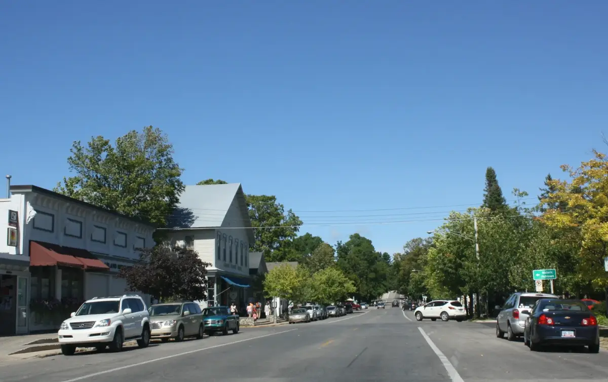
    At the dam, water and village streets come close together. M-22 and the bridge cross this tight center. Storefronts, people on foot, and the westbound river share it.

    For public notices, Township services, permits, or meeting information, leave the visitor guide behind and use the Township's official page.

    Go to official Leland Township information

    Source: Leland Township, hosted by Leelanau County

    People and vehicles along M-22 in downtown Leland
    Royalbroil · CC BY-SA 3.0 · credit
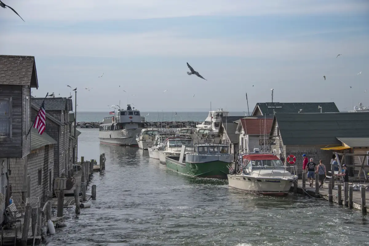
  4. Weathered shanties, docks, boats, and people along the working Fishtown waterfront
    Richard Hurd · CC BY 2.0 · credit

    Working water · not a stage set

    Fishtown still works

    The shanties and docks are famous, but the work matters more than the shape. Fishtown Preservation says it owns and runs the Janice Sue and Joy. They are Great Lakes commercial fish tugs. Their work helps keep commercial fishing heritage alive.

    This is a living waterfront. Fishing, preservation, charter boats, small businesses, and visitors share the same narrow river edge.

    Source: Fishtown Preservation Society

  5. Lakeward threshold

    The harbor

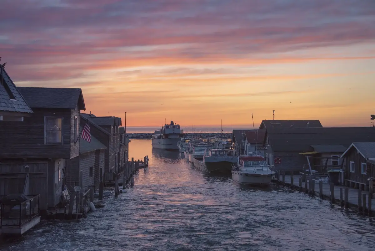
    The river releases into the harbor here. Fishing boats can pass the breakwaters; the 2026 passenger route to the Manitou Islands cannot.

    Fishtown shanties and boats at the mouth of the Leland River near sunset
    Richard Hurd · CC BY 2.0 · credit
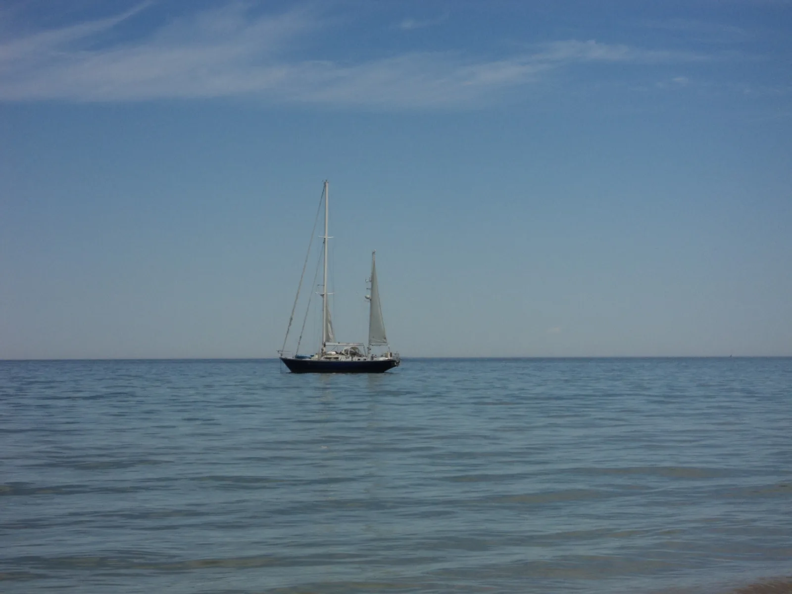
  6. A sailboat on Lake Michigan seen from Leland's public beach
    Jaspermaz · CC BY-SA 3.0 · credit

    The channel opens

    Van's Beach and Lake Michigan

    Walk to the end of Cedar Street and the scale changes. The close river edge gives way to beach, sky, and the long Lake Michigan horizon.

    The Chamber calls Van's Beach a public beach. It places the trailhead just beyond Van's Garage at the end of Cedar Street. Use its current guide to find your way. This page is not a live report on conditions.

    Open the local beach guide

    Source: Leland Chamber of Commerce · checked July 13, 2026

  7. West · across the passage

    The islands stay on the horizon in 2026

    North and South Manitou are part of the view. They are not ferry stops this season. The National Park Service says both island docks are closed during major work. There is no safe place to dock. The operator says the ferry is not running in 2026.

    This route ends on shore. Look west, check the authoritative updates, and save the crossing for a season when access returns.

    Sources: National Park Service and Manitou Island Transit · checked July 13, 2026

    Return to the inland shore