Leland, Michigan · Leelanau County

Between two waters.

Start on the inland shore. Follow one short river through town and the working harbor. Come out at Lake Michigan.

Follow the river
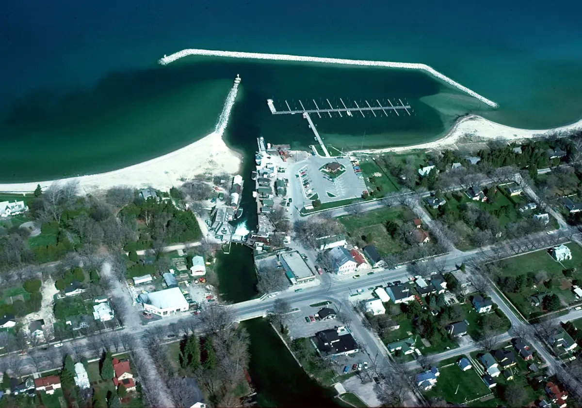
Aerial view of Leland's river channel, harbor, and Lake Michigan shoreline
The Leland River opens into the harbor and Lake Michigan. U.S. Army Corps of Engineers, public domain. Photo credit

Know before you go

Two plans changed in 2026.

These notices come from the organizations responsible for each place. Checked July 26, 2026.

National Park Service + ferry operator

No Manitou ferry trips in 2026

Both island docks, villages, facilities, and utilities are closed during the 2026 construction season. The docks and villages are expected to reopen in 2027, and Manitou Island Transit says it will run no trips in 2026.

Read the current NPS access notice · Check Manitou Island Transit
Leelanau Conservancy

Whaleback remains closed

The natural area has been closed since May 14, 2026 while the Conservancy works through an access issue. It recommends Clay Cliffs as a nearby alternative.

Check Whaleback’s current status

Choose by time, not by checklist

How much Leland fits today?

These are shapes for a day, not fixed itineraries. Check the place responsible for hours, conditions, and access before leaving.

  1. 2 hoursTrace the river to the big lake
  2. Half a dayAdd Fishtown, the museum or library, and room to linger
  3. A full dayCross both waters, then follow one careful side path

A field guide with wet shoes

Not everything belongs in a neat row.

1

Walk the working edge

Fishtown’s shanties, docks, smokehouses, charter boats, and commercial fish tugs are not a nautical backdrop. Start with the nonprofit that preserves and operates the district.

Meet Fishtown through Fishtown Preservation
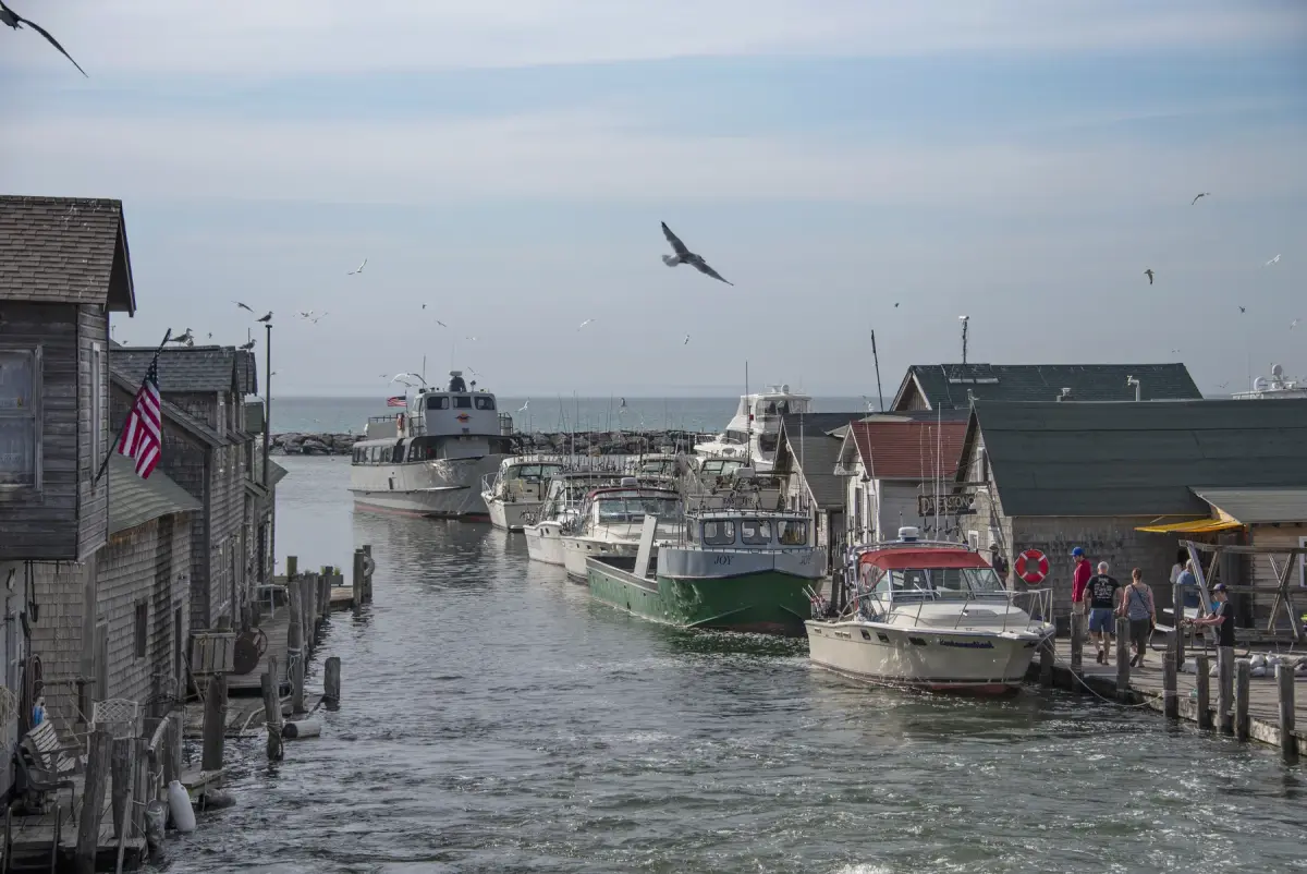
Weathered buildings and boats along the working waterfront in Fishtown
Fishtown, still a working waterfront. Photo credit
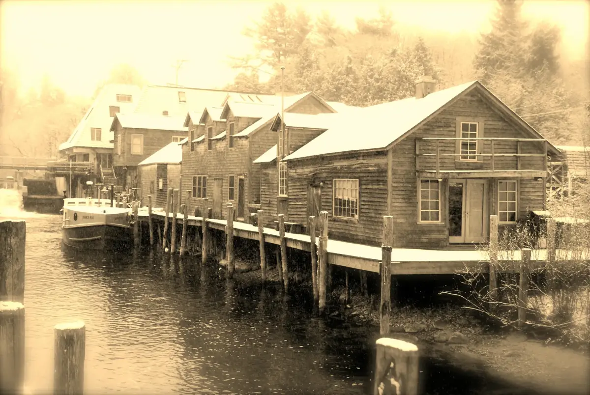
The Leland River in winter, edged by snow and bare trees
The Leland River in winter. John Levanen, CC BY-SA 2.0. Photo credit

The long view

A place is more than its brightest season.

Read the fishing district, the river, and the village through the institutions that keep the records and preserve the working waterfront, not through borrowed folklore.

Read Leland’s story

Start with what the water and working boats can prove. Follow every larger claim back to its keeper.

The west end

Leave room for the lake.

The river route ends at the open horizon. The source trail stays visible, and the page finally lets the lake take over.

Go straight to the Lake Michigan stop
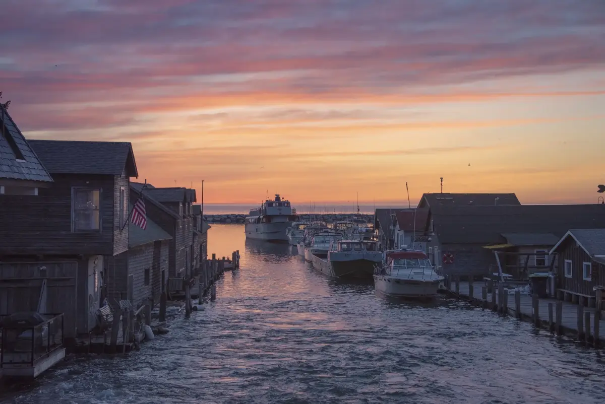
Fishtown buildings and harbor water in late-day light
Late-day light across Fishtown and the harbor. Richard Hurd, CC BY 2.0. Photo credit