
Parking Task Force Agenda item 6C
Elizabeth and Water Street Analyses for Opportunities for Parking-Space Gains
Parking Improvements Task Force, Wednesday, July 29, 2026
Download these 10 pages, 1.0 MB Whole packet, 47 pages, 4.4 MB
Page 8
Text of page 8
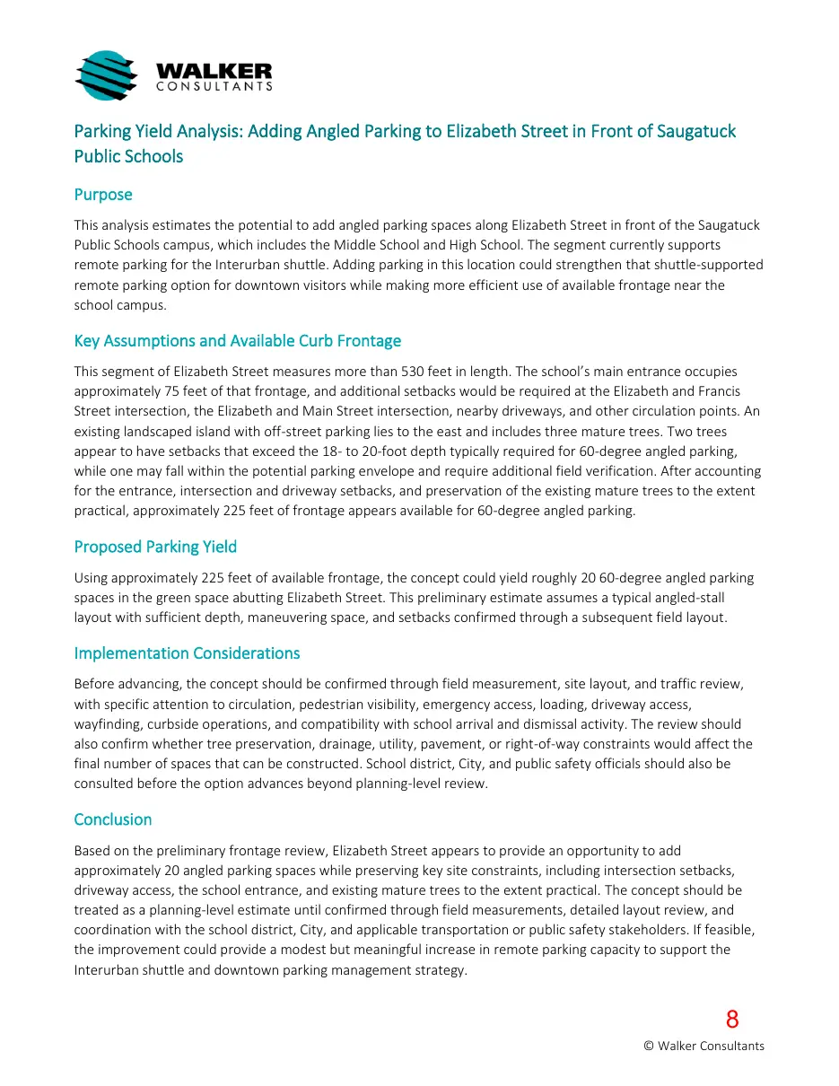
Parking Yield Analysis: Adding Angled Parking to Elizabeth Street in Front of Saugatuck Public Schools Purpose This analysis estimates the potential to add angled parking spaces along Elizabeth Street in front of the Saugatuck Public Schools campus, which includes the Middle School and High School. The segment currently supports remote parking for the Interurban shuttle. Adding parking in this location could strengthen that shuttle-supported remote parking option for downtown visitors while making more efficient use of available frontage near the school campus.
Key Assumptions and Available Curb Frontage This segment of Elizabeth Street measures more than 530 feet in length. The school’s main entrance occupies approximately 75 feet of that frontage, and additional setbacks would be required at the Elizabeth and Francis Street intersection, the Elizabeth and Main Street intersection, nearby driveways, and other circulation points. An existing landscaped island with off-street parking lies to the east and includes three mature trees. Two trees appear to have setbacks that exceed the 18to 20-foot depth typically required for 60-degree angled parking, while one may fall within the potential parking envelope and require additional field verification. After accounting for the entrance, intersection and driveway setbacks, and preservation of the existing mature trees to the extent practical, approximately 225 feet of frontage appears available for 60-degree angled parking.
Proposed Parking Yield Using approximately 225 feet of available frontage, the concept could yield roughly 20 60-degree angled parking spaces in the green space abutting Elizabeth Street. This preliminary estimate assumes a typical angled-stall layout with sufficient depth, maneuvering space, and setbacks confirmed through a subsequent field layout.
Implementation Considerations Before advancing, the concept should be confirmed through field measurement, site layout, and traffic review, with specific attention to circulation, pedestrian visibility, emergency access, loading, driveway access, wayfinding, curbside operations, and compatibility with school arrival and dismissal activity. The review should also confirm whether tree preservation, drainage, utility, pavement, or right-of-way constraints would affect the final number of spaces that can be constructed. School district, City, and public safety officials should also be consulted before the option advances beyond planning-level review.
Conclusion Based on the preliminary frontage review, Elizabeth Street appears to provide an opportunity to add approximately 20 angled parking spaces while preserving key site constraints, including intersection setbacks, driveway access, the school entrance, and existing mature trees to the extent practical. The concept should be treated as a planning-level estimate until confirmed through field measurements, detailed layout review, and coordination with the school district, City, and applicable transportation or public safety stakeholders. If feasible, the improvement could provide a modest but meaningful increase in remote parking capacity to support the Interurban shuttle and downtown parking management strategy.
8 © Walker Consultants
Page 9
Text of page 9
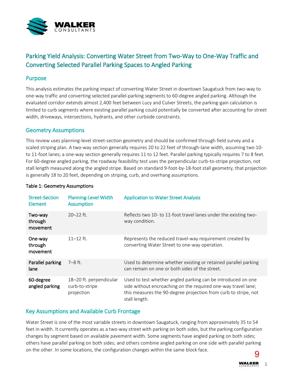
Parking Yield Analysis: Converting Water Street from Two-Way to One-Way Traffic and Converting Selected Parallel Parking Spaces to Angled Parking Purpose This analysis estimates the parking impact of converting Water Street in downtown Saugatuck from two-way to one-way traffic and converting selected parallel-parking segments to 60-degree angled parking. Although the evaluated corridor extends almost 2,400 feet between Lucy and Culver Streets, the parking-gain calculation is limited to curb segments where existing parallel parking could potentially be converted after accounting for street width, driveways, intersections, hydrants, and other curbside constraints.
Geometry Assumptions This review uses planning-level street-section geometry and should be confirmed through field survey and a scaled striping plan. A two-way section generally requires 20 to 22 feet of through-lane width, assuming two 10to 11-foot lanes; a one-way section generally requires 11 to 12 feet. Parallel parking typically requires 7 to 8 feet. For 60-degree angled parking, the roadway feasibility test uses the perpendicular curb-to-stripe projection, not stall length measured along the angled stripe. Based on standard 9-foot-by-18-foot stall geometry, that projection is generally 18 to 20 feet, depending on striping, curb, and overhang assumptions. Table 1: Geometry Assumptions Street-Section Element
Planning-Level Width Assumption
Application to Water Street Analysis
Two-way through movement
20–22 ft.
Reflects two 10to 11-foot travel lanes under the existing twoway condition.
One-way through movement
11–12 ft.
Represents the reduced travel-way requirement created by converting Water Street to one-way operation.
Parallel parking lane
7–8 ft.
Used to determine whether existing or retained parallel parking can remain on one or both sides of the street.
60-degree angled parking
18–20 ft. perpendicular curb-to-stripe projection
Used to test whether angled parking can be introduced on one side without encroaching on the required one-way travel lane; this measures the 90-degree projection from curb to stripe, not stall length.
Key Assumptions and Available Curb Frontage Water Street is one of the most variable streets in downtown Saugatuck, ranging from approximately 35 to 54 feet in width. It currently operates as a two-way street with parking on both sides, but the parking configuration changes by segment based on available pavement width. Some segments have angled parking on both sides; others have parallel parking on both sides; and others combine angled parking on one side with parallel parking on the other. In some locations, the configuration changes within the same block face.
Page 10
Text of page 10
Parking Yield Analysis: Water Street Prepared for City of Saugatuck July 9, 2026
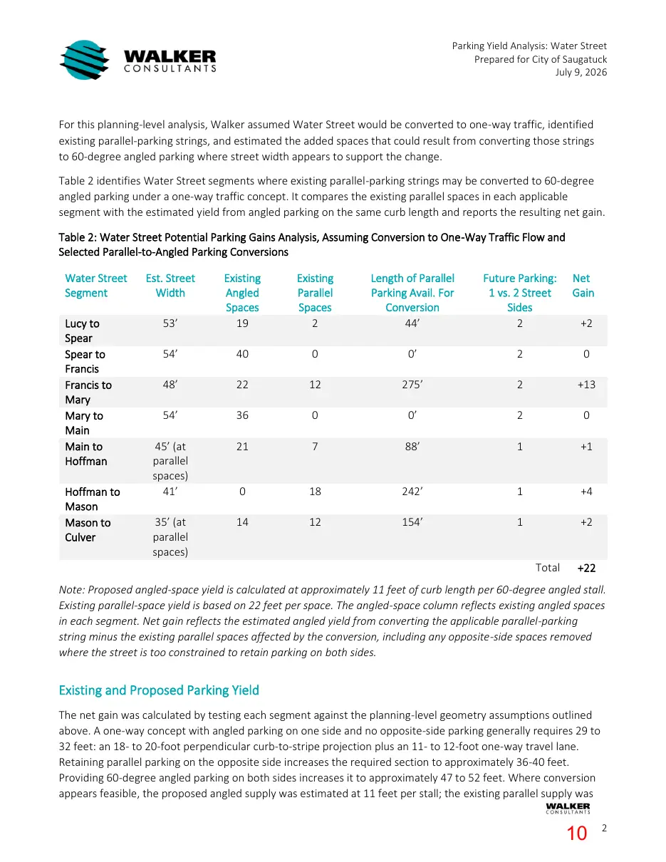
For this planning-level analysis, Walker assumed Water Street would be converted to one-way traffic, identified existing parallel-parking strings, and estimated the added spaces that could result from converting those strings to 60-degree angled parking where street width appears to support the change. Table 2 identifies Water Street segments where existing parallel-parking strings may be converted to 60-degree angled parking under a one-way traffic concept. It compares the existing parallel spaces in each applicable segment with the estimated yield from angled parking on the same curb length and reports the resulting net gain. Table 2: Water Street Potential Parking Gains Analysis, Assuming Conversion to One-Way Traffic Flow and Selected Parallel-to-Angled Parking Conversions Water Street Segment
Est. Street Width
Lucy to Spear Spear to Francis Francis to Mary Mary to Main Main to Hoffman Hoffman to Mason Mason to Culver
Existing Parallel Spaces 2
Length of Parallel Parking Avail. For Conversion 44’
Future Parking: 1 vs. 2 Street Sides 2
Net Gain
53’
Existing Angled Spaces 19
54’
48’
275’
+13
54’
45’ (at parallel spaces) 41’
88’
242’
35’ (at parallel spaces)
154’
Total
+22
Note: Proposed angled-space yield is calculated at approximately 11 feet of curb length per 60-degree angled stall. Existing parallel-space yield is based on 22 feet per space. The angled-space column reflects existing angled spaces in each segment. Net gain reflects the estimated angled yield from converting the applicable parallel-parking string minus the existing parallel spaces affected by the conversion, including any opposite-side spaces removed where the street is too constrained to retain parking on both sides.
Existing and Proposed Parking Yield The net gain was calculated by testing each segment against the planning-level geometry assumptions outlined above. A one-way concept with angled parking on one side and no opposite-side parking generally requires 29 to 32 feet: an 18to 20-foot perpendicular curb-to-stripe projection plus an 11to 12-foot one-way travel lane. Retaining parallel parking on the opposite side increases the required section to approximately 36-40 feet. Providing 60-degree angled parking on both sides increases it to approximately 47 to 52 feet. Where conversion appears feasible, the proposed angled supply was estimated at 11 feet per stall; the existing parallel supply was
Page 11
Text of page 11
Parking Yield Analysis: Water Street Prepared for City of Saugatuck July 9, 2026
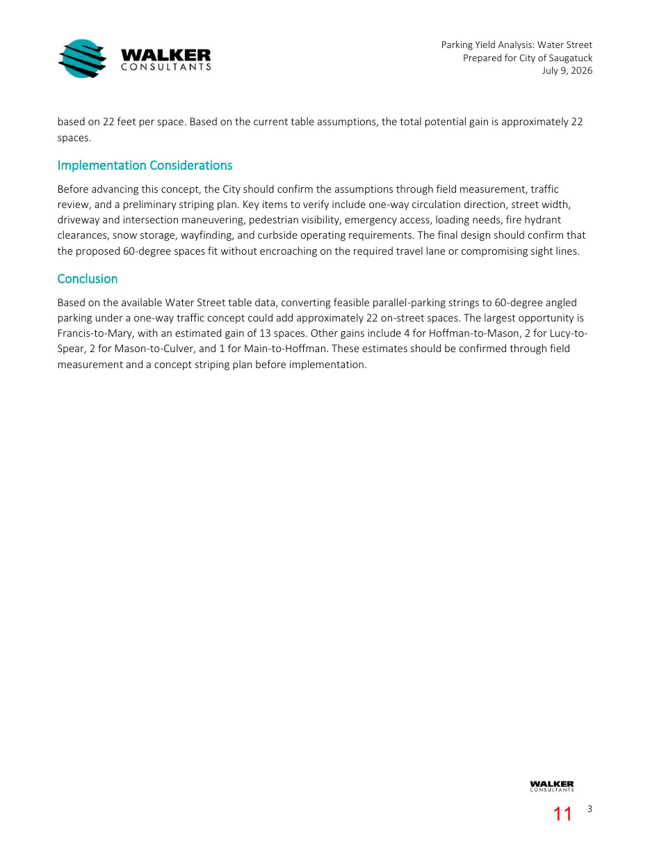
based on 22 feet per space. Based on the current table assumptions, the total potential gain is approximately 22 spaces.
Implementation Considerations Before advancing this concept, the City should confirm the assumptions through field measurement, traffic review, and a preliminary striping plan. Key items to verify include one-way circulation direction, street width, driveway and intersection maneuvering, pedestrian visibility, emergency access, loading needs, fire hydrant clearances, snow storage, wayfinding, and curbside operating requirements. The final design should confirm that the proposed 60-degree spaces fit without encroaching on the required travel lane or compromising sight lines.
Conclusion Based on the available Water Street table data, converting feasible parallel-parking strings to 60-degree angled parking under a one-way traffic concept could add approximately 22 on-street spaces. The largest opportunity is Francis-to-Mary, with an estimated gain of 13 spaces. Other gains include 4 for Hoffman-to-Mason, 2 for Lucy-toSpear, 2 for Mason-to-Culver, and 1 for Main-to-Hoffman. These estimates should be confirmed through field measurement and a concept striping plan before implementation.
Page 12
Text of page 12
3342 Blue Star Highway Saugatuck, MI 49453 269 857-3000 / Fax: 269 857-1228 E-mail: info@saugatuckfire.org July 2, 2026
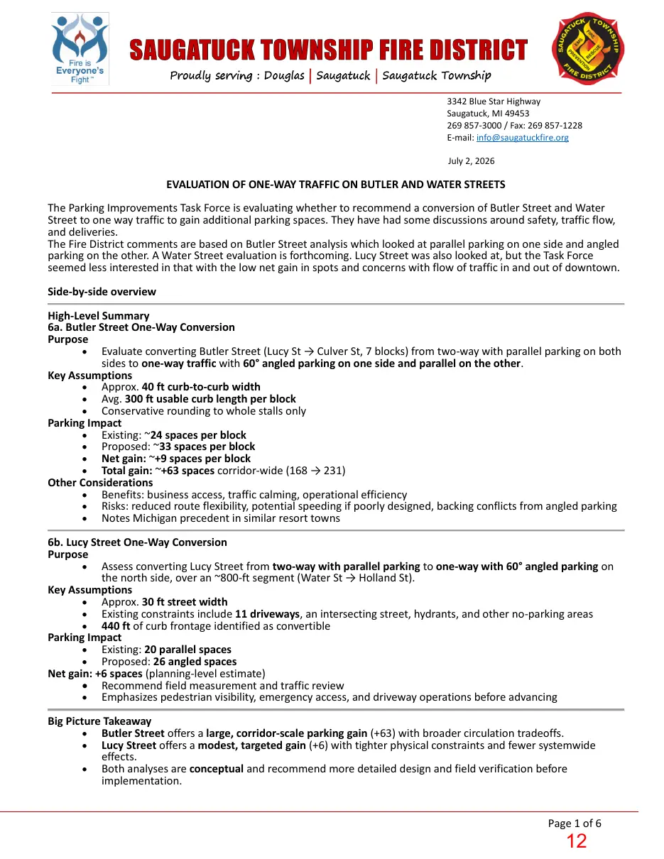
EVALUATION OF ONE-WAY TRAFFIC ON BUTLER AND WATER STREETS The Parking Improvements Task Force is evaluating whether to recommend a conversion of Butler Street and Water Street to one way traffic to gain additional parking spaces. They have had some discussions around safety, traffic flow, and deliveries. The Fire District comments are based on Butler Street analysis which looked at parallel parking on one side and angled parking on the other. A Water Street evaluation is forthcoming. Lucy Street was also looked at, but the Task Force seemed less interested in that with the low net gain in spots and concerns with flow of traffic in and out of downtown. Side-by-side overview High-Level Summary 6a. Butler Street One-Way Conversion Purpose • Evaluate converting Butler Street (Lucy St → Culver St, 7 blocks) from two-way with parallel parking on both sides to one-way traffic with 60° angled parking on one side and parallel on the other. Key Assumptions • Approx. 40 ft curb-to-curb width • Avg. 300 ft usable curb length per block • Conservative rounding to whole stalls only Parking Impact • Existing: ~24 spaces per block • Proposed: ~33 spaces per block • Net gain: ~+9 spaces per block • Total gain: ~+63 spaces corridor-wide (168 → 231) Other Considerations • Benefits: business access, traffic calming, operational efficiency • Risks: reduced route flexibility, potential speeding if poorly designed, backing conflicts from angled parking • Notes Michigan precedent in similar resort towns 6b. Lucy Street One-Way Conversion Purpose • Assess converting Lucy Street from two-way with parallel parking to one-way with 60° angled parking on the north side, over an ~800-ft segment (Water St → Holland St). Key Assumptions • Approx. 30 ft street width • Existing constraints include 11 driveways, an intersecting street, hydrants, and other no-parking areas • 440 ft of curb frontage identified as convertible Parking Impact • Existing: 20 parallel spaces • Proposed: 26 angled spaces Net gain: +6 spaces (planning-level estimate) • Recommend field measurement and traffic review • Emphasizes pedestrian visibility, emergency access, and driveway operations before advancing Big Picture Takeaway • Butler Street offers a large, corridor-scale parking gain (+63) with broader circulation tradeoffs. • Lucy Street offers a modest, targeted gain (+6) with tighter physical constraints and fewer systemwide effects. • Both analyses are conceptual and recommend more detailed design and field verification before implementation.
Page 1 of 6
Page 13
Text of page 13
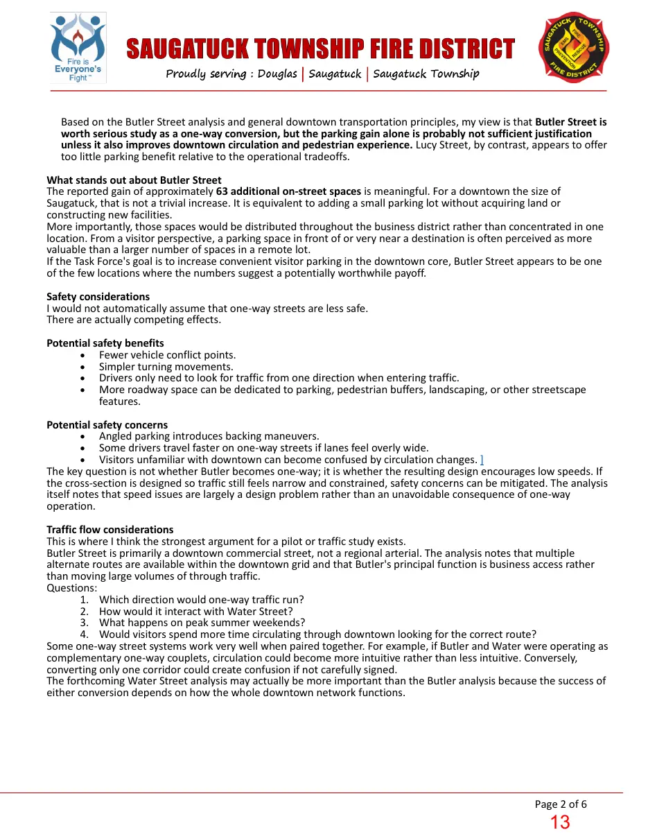
Based on the Butler Street analysis and general downtown transportation principles, my view is that Butler Street is worth serious study as a one-way conversion, but the parking gain alone is probably not sufficient justification unless it also improves downtown circulation and pedestrian experience. Lucy Street, by contrast, appears to offer too little parking benefit relative to the operational tradeoffs. What stands out about Butler Street The reported gain of approximately 63 additional on-street spaces is meaningful. For a downtown the size of Saugatuck, that is not a trivial increase. It is equivalent to adding a small parking lot without acquiring land or constructing new facilities. More importantly, those spaces would be distributed throughout the business district rather than concentrated in one location. From a visitor perspective, a parking space in front of or very near a destination is often perceived as more valuable than a larger number of spaces in a remote lot. If the Task Force's goal is to increase convenient visitor parking in the downtown core, Butler Street appears to be one of the few locations where the numbers suggest a potentially worthwhile payoff. Safety considerations I would not automatically assume that one-way streets are less safe. There are actually competing effects. Potential safety benefits • Fewer vehicle conflict points. • Simpler turning movements. • Drivers only need to look for traffic from one direction when entering traffic. • More roadway space can be dedicated to parking, pedestrian buffers, landscaping, or other streetscape features. Potential safety concerns • Angled parking introduces backing maneuvers. • Some drivers travel faster on one-way streets if lanes feel overly wide. • Visitors unfamiliar with downtown can become confused by circulation changes. ] The key question is not whether Butler becomes one-way; it is whether the resulting design encourages low speeds. If the cross-section is designed so traffic still feels narrow and constrained, safety concerns can be mitigated. The analysis itself notes that speed issues are largely a design problem rather than an unavoidable consequence of one-way operation. Traffic flow considerations This is where I think the strongest argument for a pilot or traffic study exists. Butler Street is primarily a downtown commercial street, not a regional arterial. The analysis notes that multiple alternate routes are available within the downtown grid and that Butler's principal function is business access rather than moving large volumes of through traffic. Questions: 1. Which direction would one-way traffic run? 2. How would it interact with Water Street? 3. What happens on peak summer weekends? 4. Would visitors spend more time circulating through downtown looking for the correct route? Some one-way street systems work very well when paired together. For example, if Butler and Water were operating as complementary one-way couplets, circulation could become more intuitive rather than less intuitive. Conversely, converting only one corridor could create confusion if not carefully signed. The forthcoming Water Street analysis may actually be more important than the Butler analysis because the success of either conversion depends on how the whole downtown network functions.
Page 2 of 6
Page 14
Text of page 14
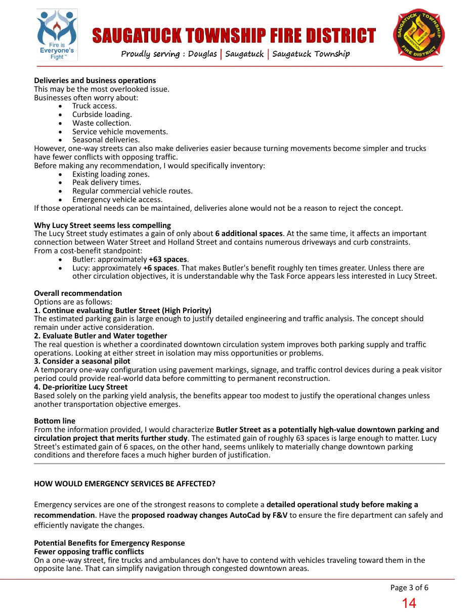
Deliveries and business operations This may be the most overlooked issue. Businesses often worry about: • Truck access. • Curbside loading. • Waste collection. • Service vehicle movements. • Seasonal deliveries. However, one-way streets can also make deliveries easier because turning movements become simpler and trucks have fewer conflicts with opposing traffic. Before making any recommendation, I would specifically inventory: • Existing loading zones. • Peak delivery times. • Regular commercial vehicle routes. • Emergency vehicle access. If those operational needs can be maintained, deliveries alone would not be a reason to reject the concept. Why Lucy Street seems less compelling The Lucy Street study estimates a gain of only about 6 additional spaces. At the same time, it affects an important connection between Water Street and Holland Street and contains numerous driveways and curb constraints. From a cost-benefit standpoint: • Butler: approximately +63 spaces. • Lucy: approximately +6 spaces. That makes Butler's benefit roughly ten times greater. Unless there are other circulation objectives, it is understandable why the Task Force appears less interested in Lucy Street. Overall recommendation Options are as follows: 1. Continue evaluating Butler Street (High Priority) The estimated parking gain is large enough to justify detailed engineering and traffic analysis. The concept should remain under active consideration. 2. Evaluate Butler and Water together The real question is whether a coordinated downtown circulation system improves both parking supply and traffic operations. Looking at either street in isolation may miss opportunities or problems. 3. Consider a seasonal pilot A temporary one-way configuration using pavement markings, signage, and traffic control devices during a peak visitor period could provide real-world data before committing to permanent reconstruction. 4. De-prioritize Lucy Street Based solely on the parking yield analysis, the benefits appear too modest to justify the operational changes unless another transportation objective emerges. Bottom line From the information provided, I would characterize Butler Street as a potentially high-value downtown parking and circulation project that merits further study. The estimated gain of roughly 63 spaces is large enough to matter. Lucy Street's estimated gain of 6 spaces, on the other hand, seems unlikely to materially change downtown parking conditions and therefore faces a much higher burden of justification. HOW WOULD EMERGENCY SERVICES BE AFFECTED? Emergency services are one of the strongest reasons to complete a detailed operational study before making a recommendation. Have the proposed roadway changes AutoCad by F&V to ensure the fire department can safely and efficiently navigate the changes. Potential Benefits for Emergency Response Fewer opposing traffic conflicts On a one-way street, fire trucks and ambulances don't have to contend with vehicles traveling toward them in the opposite lane. That can simplify navigation through congested downtown areas. Page 3 of 6
Page 15
Text of page 15
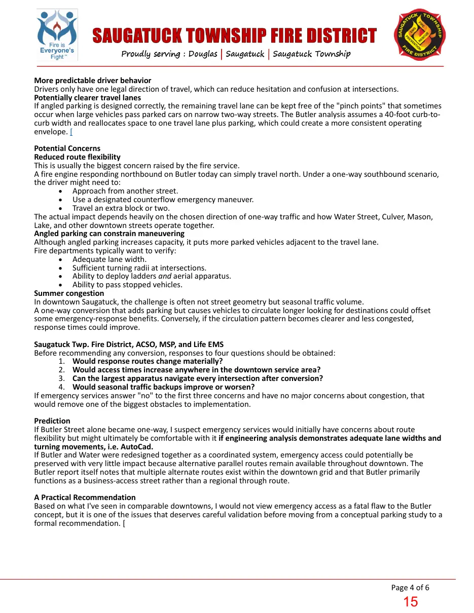
More predictable driver behavior Drivers only have one legal direction of travel, which can reduce hesitation and confusion at intersections. Potentially clearer travel lanes If angled parking is designed correctly, the remaining travel lane can be kept free of the "pinch points" that sometimes occur when large vehicles pass parked cars on narrow two-way streets. The Butler analysis assumes a 40-foot curb-tocurb width and reallocates space to one travel lane plus parking, which could create a more consistent operating envelope. [ Potential Concerns Reduced route flexibility This is usually the biggest concern raised by the fire service. A fire engine responding northbound on Butler today can simply travel north. Under a one-way southbound scenario, the driver might need to: • Approach from another street. • Use a designated counterflow emergency maneuver. • Travel an extra block or two. The actual impact depends heavily on the chosen direction of one-way traffic and how Water Street, Culver, Mason, Lake, and other downtown streets operate together. Angled parking can constrain maneuvering Although angled parking increases capacity, it puts more parked vehicles adjacent to the travel lane. Fire departments typically want to verify: • Adequate lane width. • Sufficient turning radii at intersections. • Ability to deploy ladders and aerial apparatus. • Ability to pass stopped vehicles. Summer congestion In downtown Saugatuck, the challenge is often not street geometry but seasonal traffic volume. A one-way conversion that adds parking but causes vehicles to circulate longer looking for destinations could offset some emergency-response benefits. Conversely, if the circulation pattern becomes clearer and less congested, response times could improve. Saugatuck Twp. Fire District, ACSO, MSP, and Life EMS Before recommending any conversion, responses to four questions should be obtained: 1. Would response routes change materially? 2. Would access times increase anywhere in the downtown service area? 3. Can the largest apparatus navigate every intersection after conversion? 4. Would seasonal traffic backups improve or worsen? If emergency services answer "no" to the first three concerns and have no major concerns about congestion, that would remove one of the biggest obstacles to implementation. Prediction If Butler Street alone became one-way, I suspect emergency services would initially have concerns about route flexibility but might ultimately be comfortable with it if engineering analysis demonstrates adequate lane widths and turning movements, i.e. AutoCad. If Butler and Water were redesigned together as a coordinated system, emergency access could potentially be preserved with very little impact because alternative parallel routes remain available throughout downtown. The Butler report itself notes that multiple alternate routes exist within the downtown grid and that Butler primarily functions as a business-access street rather than a regional through route. A Practical Recommendation Based on what I've seen in comparable downtowns, I would not view emergency access as a fatal flaw to the Butler concept, but it is one of the issues that deserves careful validation before moving from a conceptual parking study to a formal recommendation. [
Page 4 of 6
Page 16
Text of page 16
WHAT DESIGN CHANGES COULD HELP EMERGENCY ACCESS? Several design modifications could make a one-way Butler Street substantially more compatible with fire, EMS, police, and DPW operations. In many downtowns, the difference between a successful and problematic one-way conversion is not the traffic direction, it is the detailed street design. 1. Preserve a Wide, Unobstructed Travel Lane This is probably the most important design consideration. If Butler were converted to one-way with angled parking on one side and parallel parking on the other, the city should maintain a travel lane wide enough for the largest fire apparatus to pass stopped vehicles when practical. The Butler analysis assumes a 40-foot curb-to-curb width, leaving some flexibility in how space is allocated. Design goals could include: • Avoiding excessively deep angled parking stalls. • Minimizing curb extensions where they would restrict apparatus movement. • Keeping signage and street furniture out of emergency vehicle paths. 2. Use Back-In Angled Parking Instead of Front-In This often surprises people. Back-in angled parking: • Improves driver visibility when leaving a space. • Reduces conflicts with cyclists and pedestrians. • Allows vehicle trunks to face the sidewalk. • Can create more predictable backing maneuvers. The Butler report notes that some communities use back-in angled parking specifically to address safety concerns associated with backing movements. Emergency responders often prefer anything that reduces unexpected vehicle movements into the travel lane. 3. Create Strategic "No Parking" Gaps Not every foot of curb needs to be maximized. A few strategically located no-parking zones can: • Improve sightlines. • Create pull-off areas. • Give fire apparatus more room at key intersections. • Allow trucks to make turns more easily. If Butler gains 60+ spaces, giving up two or three spaces to improve emergency operations may be a very worthwhile tradeoff. 4. Protect Key Intersections Emergency vehicles often struggle more at intersections than mid-block. The city could: • Increase corner clearances. • Restrict parking close to intersections. • Use mountable curb treatments where appropriate. • Verify turning paths using the Fire District's largest apparatus. This should be modeled rather than estimated (AutoCad) 5. Coordinate Butler and Water as a System This point may ultimately matter more than any individual street design feature. If Butler becomes one-way but Water remains unchanged, emergency responders could lose route flexibility. If Butler and Water function as complementary routes, responders may actually gain more predictable access through downtown because there are parallel corridors available in opposite directions. This is one reason the forthcoming Water Street analysis will be important. Looking at Butler alone may miss networkwide benefits or problems.
Page 5 of 6
Page 17
Text of page 17
6. Allow Emergency Counterflow Operations Fire and police vehicles are legally able to travel against one-way traffic when necessary. The design should ensure: • Adequate lane width. • Good visibility. • Minimal fixed obstructions. • Clear intersection geometry. The goal is to make occasional emergency counterflow safe and manageable. 7. Consider Seasonal Piloting Before permanent reconstruction, a temporary pilot could answer many emergency access questions. During a summer test period, the city could observe: • Fire apparatus movements. • Ambulance response routes. • Delivery operations. • Peak traffic congestion. Real-world observations are often more valuable than theoretical concerns. Advise the Task Force on the following information: Fire District to identify: 1. Their largest apparatus (Truck 2151-aerial apparatus-requires 20’ width for stabilizers) 2. Minimum preferred travel-lane width. (20’-per IFC) 3. Critical response routes through downtown. (TBD) 4. Intersections that currently create the most difficulty. (TBD) 5. Request Task Force to have the proposed site plan AutoCad’ d to ensure the largest apparatus can operate safely and effectively. Respectfully submitted,
Greg Janik Fire Chief/Fire Marshal
Page 6 of 6